Hidden Canyon
Zion National Park
Springdale, UT 84767-1099
(435) 772-3256
Zion National Park is located in the Southwestern corner of Utah near the Town of Springdale. The main feature of the 229-square-mile park is Zion Canyon, which is a 15 mile long and half a mile deep canyon that is the launch point for many trails in the park. The Floor Of The Valley Road follows the Virgin River through Zion Canyon, and the Hidden Canyon Trail starts at the Weeping Rock parking area on the east side of the river.
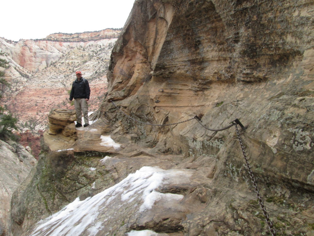
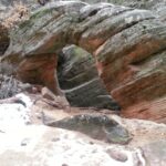
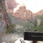
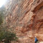
The climb to Hidden Canyon is listed as a 2.4 mile round trip hike, but that only gets you to the mouth of the canyon and back. If you explore deeper in to the canyon you can easily add a mile or more to this hike. There is 850′ of elevation change as you leave the parking area on the East Rim Trail and climb steeply to intersect with the Hidden Canyon Trail. A portion of this hike is a long a steep cliff that is very dangerous – especially in wet or icy conditions. So hold on to the chain and don’t look down. If you make it to the mouth of the canyon (which is marked by a sign), it’s only a short distance to a cool mini-arch on the right side of the canyon wall.
- click to see the floor of the valley, why trail chains are required and us back on the chain gang
- click for a photo journal of this backcountry trip near Springdale, Utah: January 10, 2015
- click for a photo gallery from this hike at Zion National Park: January 10, 2015
- click for a trip report of this trip that starts at Weeping Rock parking area: January 10, 2015 (password required)
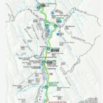
- click for a park map of the Hidden Canyon in Zion National Park
- click for a topographical and profile map of our hike to Hidden Canyon (password required)
- click for a winter hiking guide with maps and trail descriptions for Zion National Park (password required)
- click for another hike in Zion National Park on the Watchman Trail
- click for more hikes in the State of Utah
- click for links to other outdoor books and magazines
