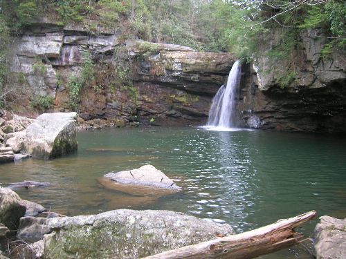
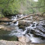
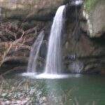
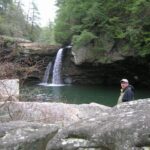
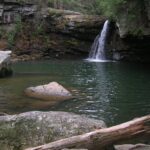
Savage Falls
Savage Gulf State Natural Area
1183 Stone Door Rd
Beersheba Springs, TN 37305
(931) 779-3532
Savage Gulf State Natural Area is a stunning wilderness area located in Tennessee, known for its deep gorges, rugged terrain, waterfalls, and scenic overlooks. It is part of the South Cumberland State Park and spans over 15,000 acres of pristine wilderness, offering some of the best hiking and backcountry experiences in the region. There are over 50 miles of trails in the park with hiking ranging from easy to strenuous in the gorge. South Cumberland State Park has both primitive backcountry camping areas and designated front country sites available on the property.
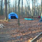
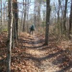
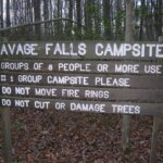
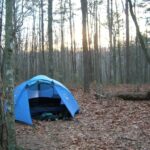
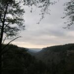
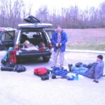
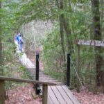
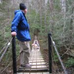
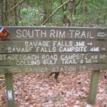
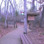
South Cumberland is one of the newer Tennessee State Parks and almost all of it lies atop the Cumberland Plateau. The park is made up of ten different areas located in four different counties. The Visitor Center is located between Monteagle and Tracy City on Highway 41 where visitors can get information, directions, and trail maps for their hike. This overnight backpacking trip to Savage Falls starts at the Savage Ranger Station and follows a well marked trail across two suspension bridges to the Savage Falls Campsite. From here, it is a short walk to the falls where the stream is also the water source for the campsite. We did a side hike to Rattlesnake Point to view the eastern arm of Savage Gulf which which made this a 4+ mile backtrack hike.
- click for more photos from this hike to Savage Falls: January 19, 2008
- click for a trip report from this backpacking trip to Savage Falls: January 19, 2008 (password required)
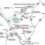
- click for a road map to Savage Gulf State Natural Area
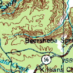
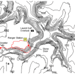
- click for a contour map of this hike on the South Rim trail,
- click for a topo and profile map of this hike on the Savage Gulf Loop Trail (password required)
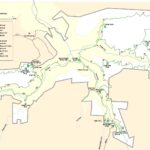
- click for a trail map to the Savage Gulf campsites in the park
- click for a trail map of South Cumberland State Park
- click to purchase the guidebook Hiking Tennessee with more details on this destination
- click for more hikes in the State of Tennessee
