Flume Trail
Black Hills National Forest
1019 N. 5th Street
Custer, SD 57730
605-673-9200
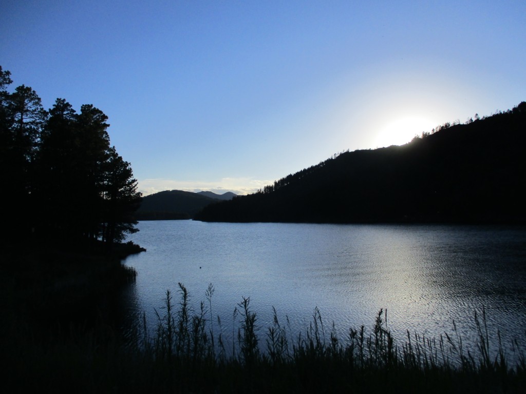
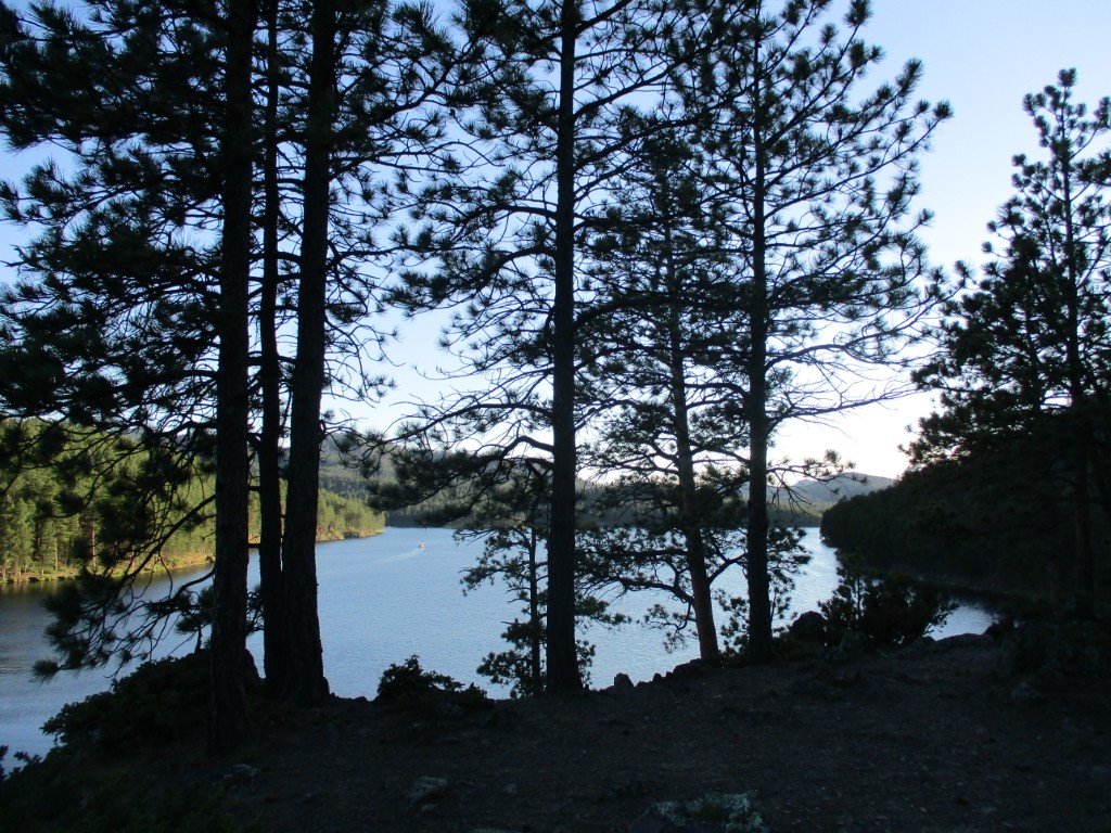
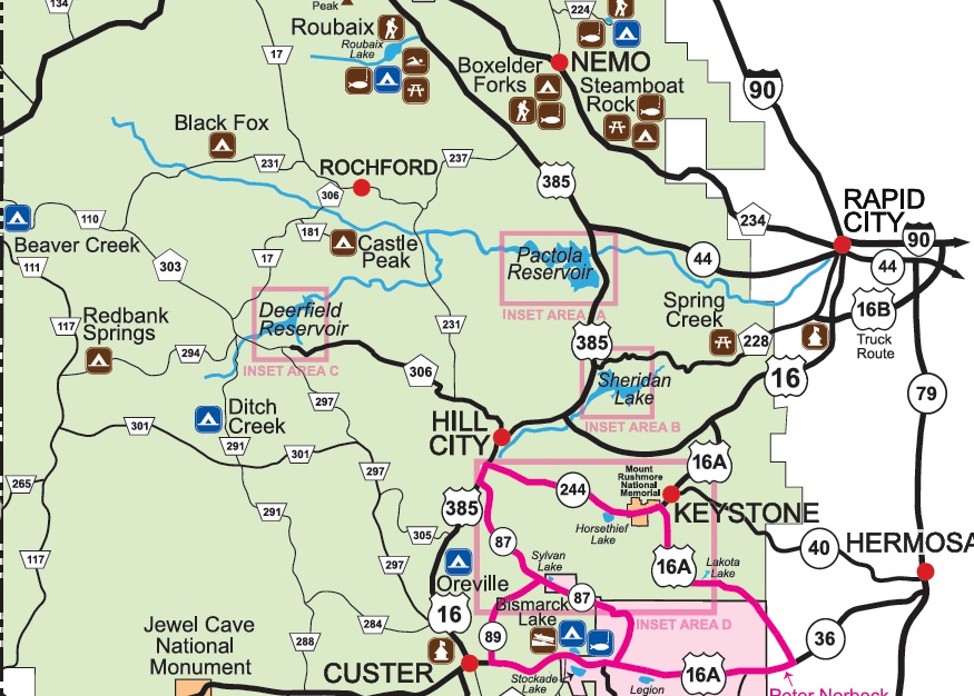
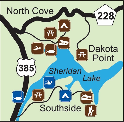
The Black Hills National Forest is a rugged, scenic forest located primarily in western South Dakota and northeastern Wyoming. Covering over 1.2 million acres, it’s home to a unique mix of granite peaks, dense pine forests, wide meadows, and dramatic canyons. The forest is named after the Lakota word Paha Sapa, meaning “hills that are black,” referring to the dark appearance of the tree-covered mountains from a distance. Sheridan Lake, nestled in the Black Hills National Forest of South Dakota, is a reservoir renowned for its stunning scenery and rich recreational offerings The lake covers roughly 375 acres with approximately 7.5 miles of shoreline, surrounded by pine-covered hills. It was created by an earthen dam in 1939 over the former mining town of Sheridan—the first county seat— which is now submerged under the lake.
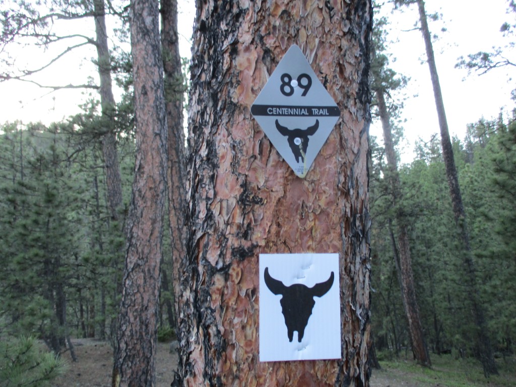
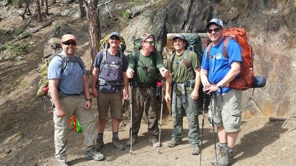
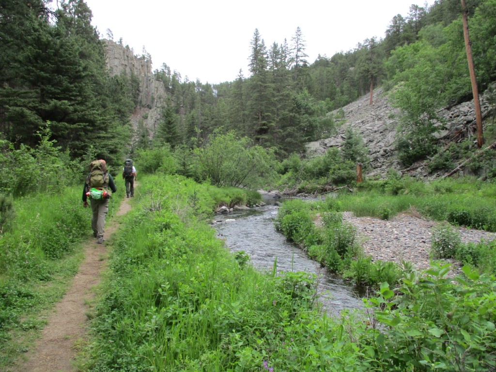
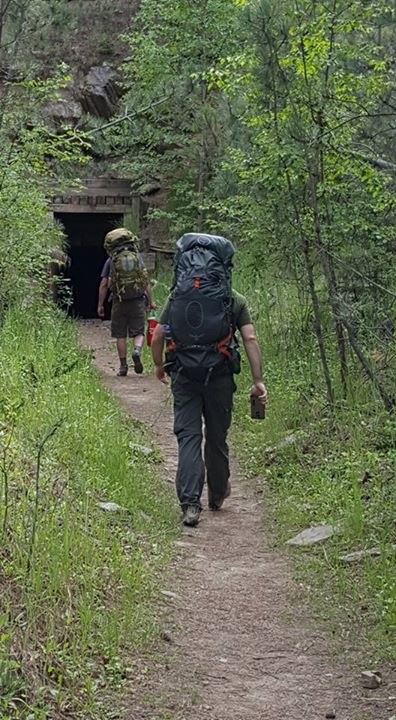
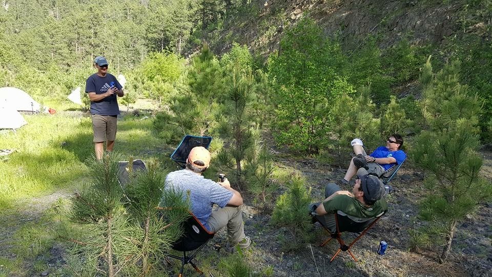
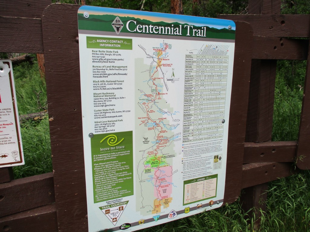
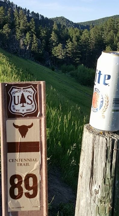
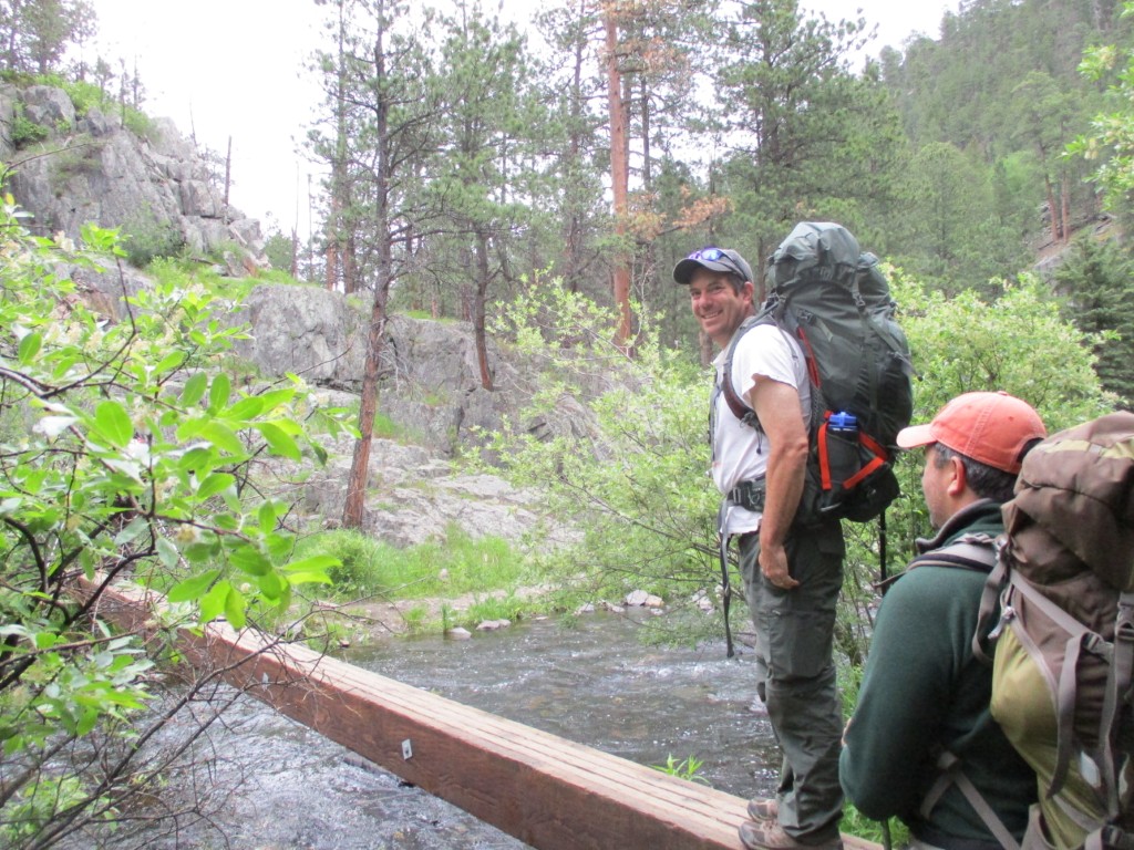
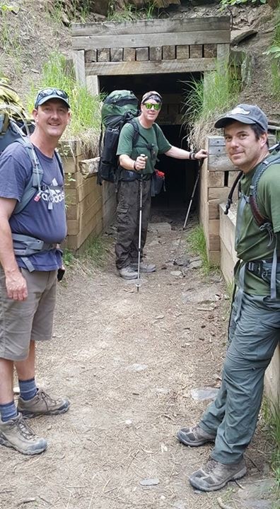
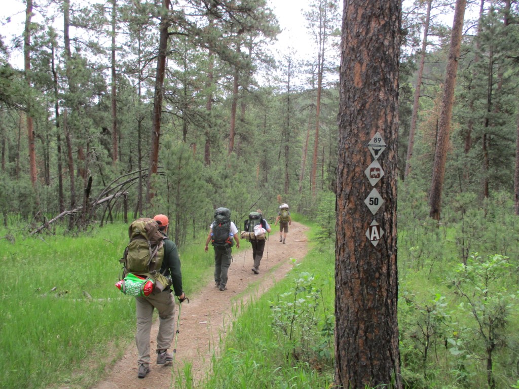
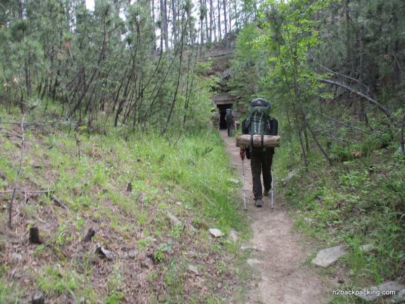
The Flume Trail has been designated a National Recreation Trail and has historical significance dating back to the mining boom of the 1880s. The Rockerville Flume carried water 20 miles, from Spring Creek west of the present day Sheridan Lake, east to the placer diggings near Rockerville, South Dakota. The flume operated until 1885, and helped miners take over $20 million in gold from the area. The trail follows the actual flume bed for much of its length, and you will see historic artifacts, tunnels, and sections of the historic flume on the route. On our trip, we started at the Spring Creek trailhead and hiked a loop clockwise through the longer flume tunnel, to the Sheridan Lake dam, then back along Spring Creek to the parking area. The hike can be done as either a day or overnight trip, but the only suitable areas for camping are near the dam. The Flume Trail is near Rapid City, South Dakota and is very popular with locals – especially on weekends. So don’t expect a lot of privacy here in the summer, but this is a really cool hike.
- click for a podcast recorded live in the backcountry during our road trip to the Dakotas
- click for a video recap of our backpacking trip in the Black Hills of western South Dakota
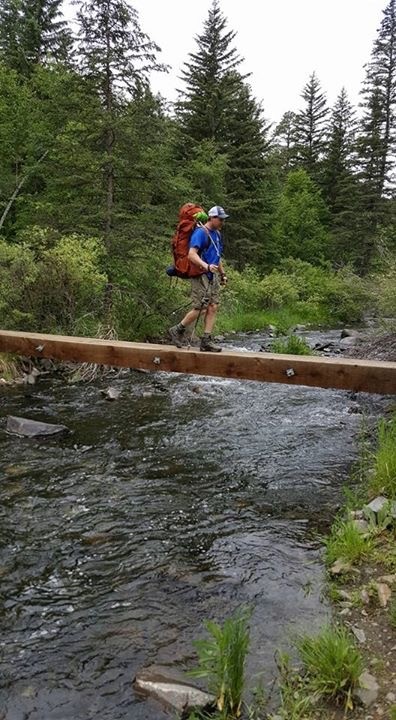
- click for a video of Sheridan Lake Dam, our crossing of Spring Creek Bridge, The Spillway, and Bug Off
- click for a photo journal from this backpacking trip in the Dakotas
- click to see more photos from our hike along the Flume Trail: June 11, 2017
- click for a trip report from our backpacking trip to Sheridan Lake: June 9, 2017
- click for a park map from the Black Hills National Forest in South Dakota (password required)
- click for a topo and profile map of this loop hike along Spring Creek via the Centennial Trail (password required)
- click for a topo and profile map of the Flume Trail at Sheridan Lake (password required)
- click for hikes on the Lower Paddock Creek, Flume, and Exhibit trails in the Dakotas
- click for more hiking and backpacking trips in North and South Dakota