Bartram Trail (SC 107 to Lick Log Creek)
Sumter National Forest
Andrew Pickens Ranger District
112 Andrew Pickens Circle
Mountain Rest, South Carolina 29664
(864) 638-9568

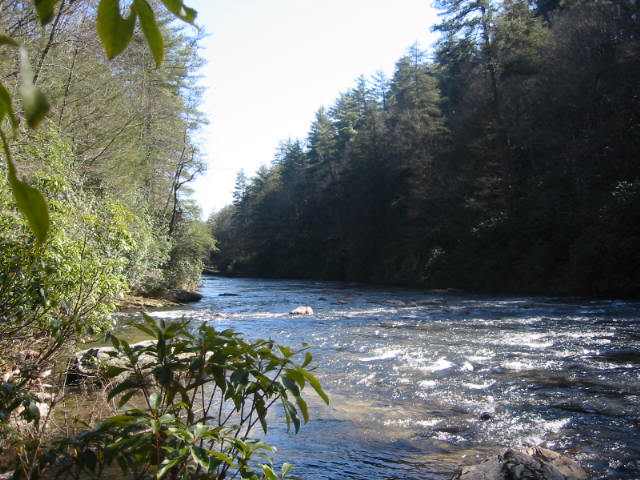
The Chattooga River begins high in the Appalachian Mountains of western North Carolina, where countless springs, seeps, and mountain streams combine to form one of the Southeast’s most celebrated rivers. Over the course of approximately fifty miles, the river drops more than 2,500 feet in elevation before emptying into Lake Tugaloo along the Georgia–South Carolina border. Unlike many rivers in the region that have been altered by dams and development, the Chattooga remains one of the few major free-flowing rivers in the Southeast. Its largely undeveloped corridor is characterized by rugged mountains, deep forests, rocky gorges, waterfalls, and pristine shorelines that provide important habitat for a wide variety of plants and wildlife. Recognizing its exceptional natural, scenic, and recreational values, Congress designated the river as the Chattooga National Wild and Scenic River on May 10, 1974. Today, the river is a premier destination for whitewater paddlers, anglers, hikers, backpackers, and outdoor enthusiasts seeking a wilderness experience that has changed little over the decades.
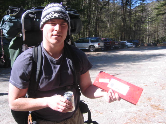
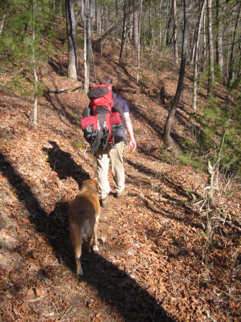
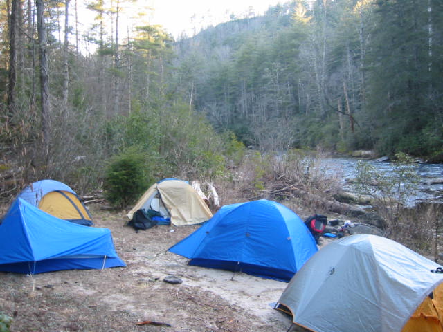
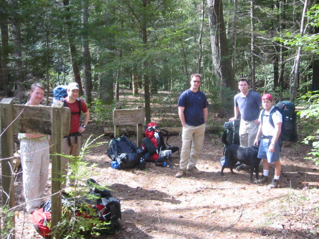
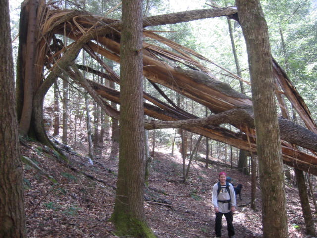
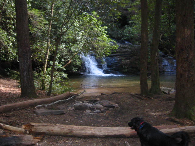
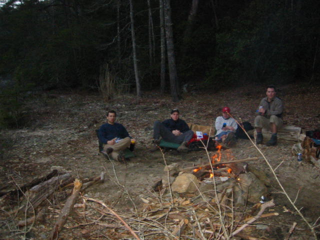
The Chattooga River Trail follows the river’s banks for roughly forty miles from Burrell’s Ford to U.S. Highway 76, frequently crossing the borders of North Carolina, South Carolina, and Georgia as it winds through the river corridor. One of the most popular sections is shared with the Foothills Trail between Burrell’s Ford and Lick Log Creek. Beginning at the Burrell’s Ford trailhead, this moderate hike closely follows the river through a landscape of towering hardwoods, rhododendron thickets, cascades, and scenic river overlooks. Along the way, hikers pass near the beautiful King Creek Falls and continue downstream to Salt Trough Ford, one of the most picturesque locations along the river. At Lick Log Creek, the Foothills Trail turns east and begins a gradual climb toward SC 107, while the Chattooga River Trail continues southward alongside the river and joins the Bartram Trail. Numerous established campsites can be found along this stretch, particularly near Salt Trough Ford and Lick Log Creek, making the area a favorite destination for overnight backpackers who come to enjoy the solitude, clear mountain waters, and outstanding scenery of the Chattooga River corridor.
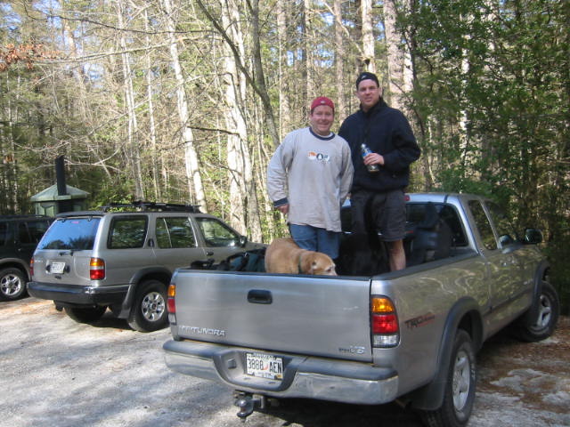
- click for more photos from this hike on the Bartram Trail: February 21, 2004
- click for a detailed trip report for this backpacking trip to Salt Trough Ford: February 21, 2004 (password required)
- click for a trip report from this hike on the Bartram Trail: February 21, 2004 (password required)
- click for a topographical and profile map of this section between Lick Log Creek and SC 107 (password required)
- click for a trail map of this section between Lick Log Creek and SC 107 (password required)
- click for a topo and profile map of this section of the Bartram Trail (password required)
- click for a Trails Illustrated map from Burrell’s Ford to SC 107 (password required)
- click for more information on the Bartram Trail
- click for more hikes on the Bartram Trail