Lick Log Creek #3
Sumter National Forest
Andrew Pickens Ranger District
112 Andrew Pickens Circle
Mountain Rest, South Carolina 29664
(864) 638-9568
The Chattooga River begins in the mountains of North Carolina as small rivulets, nourished by springs and abundant rainfall, high on the slopes of the Appalachian Mountains. The water drops a half mile in elevation over fifty miles as it winds its way to Lake Tugaloo where the river ends between South Carolina and Georgia. The Chattooga is one of the few remaining free-flowing streams in the Southeast, and the setting is primitive with dense forests and undeveloped shorelines on most of its route.
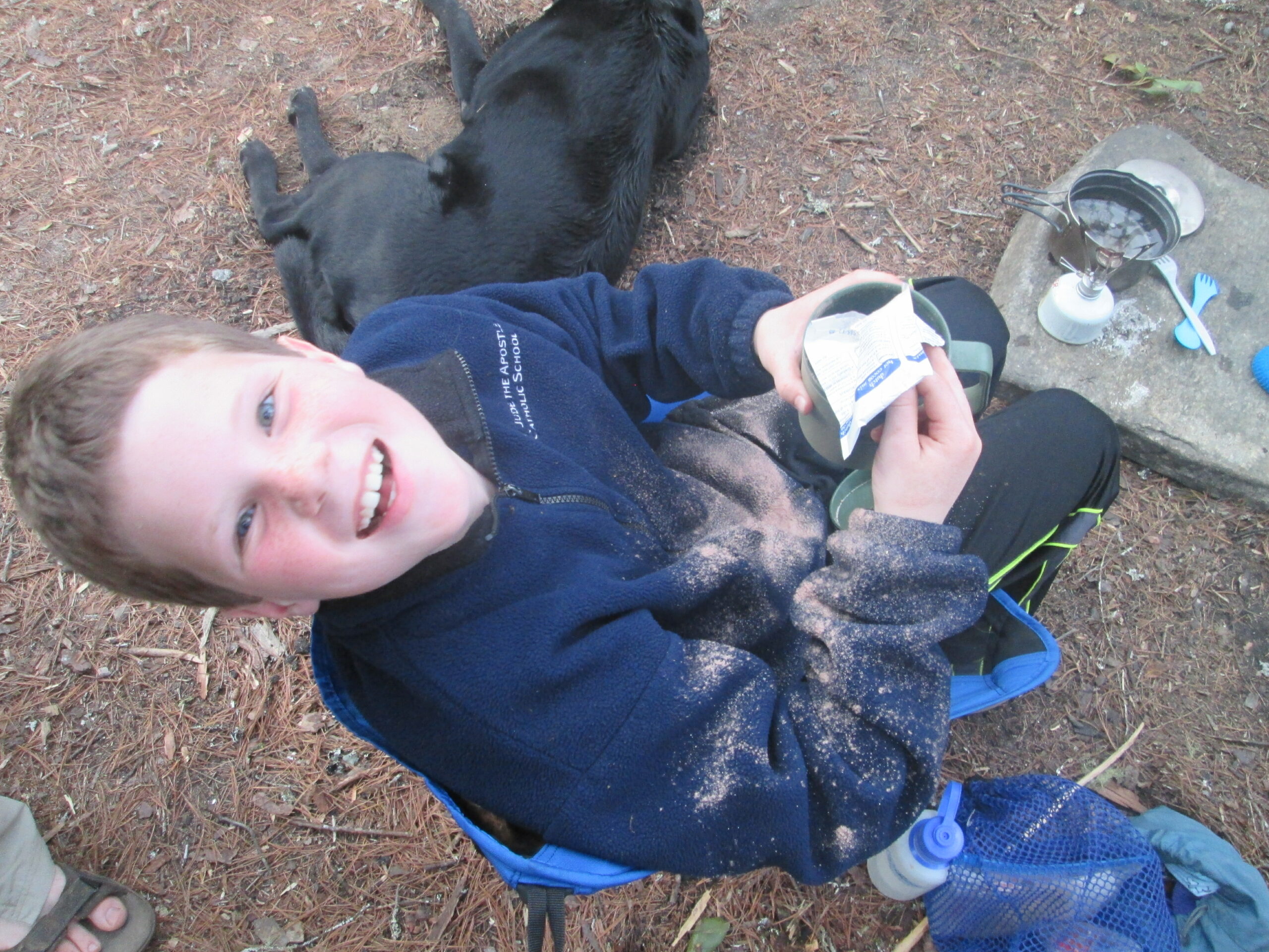
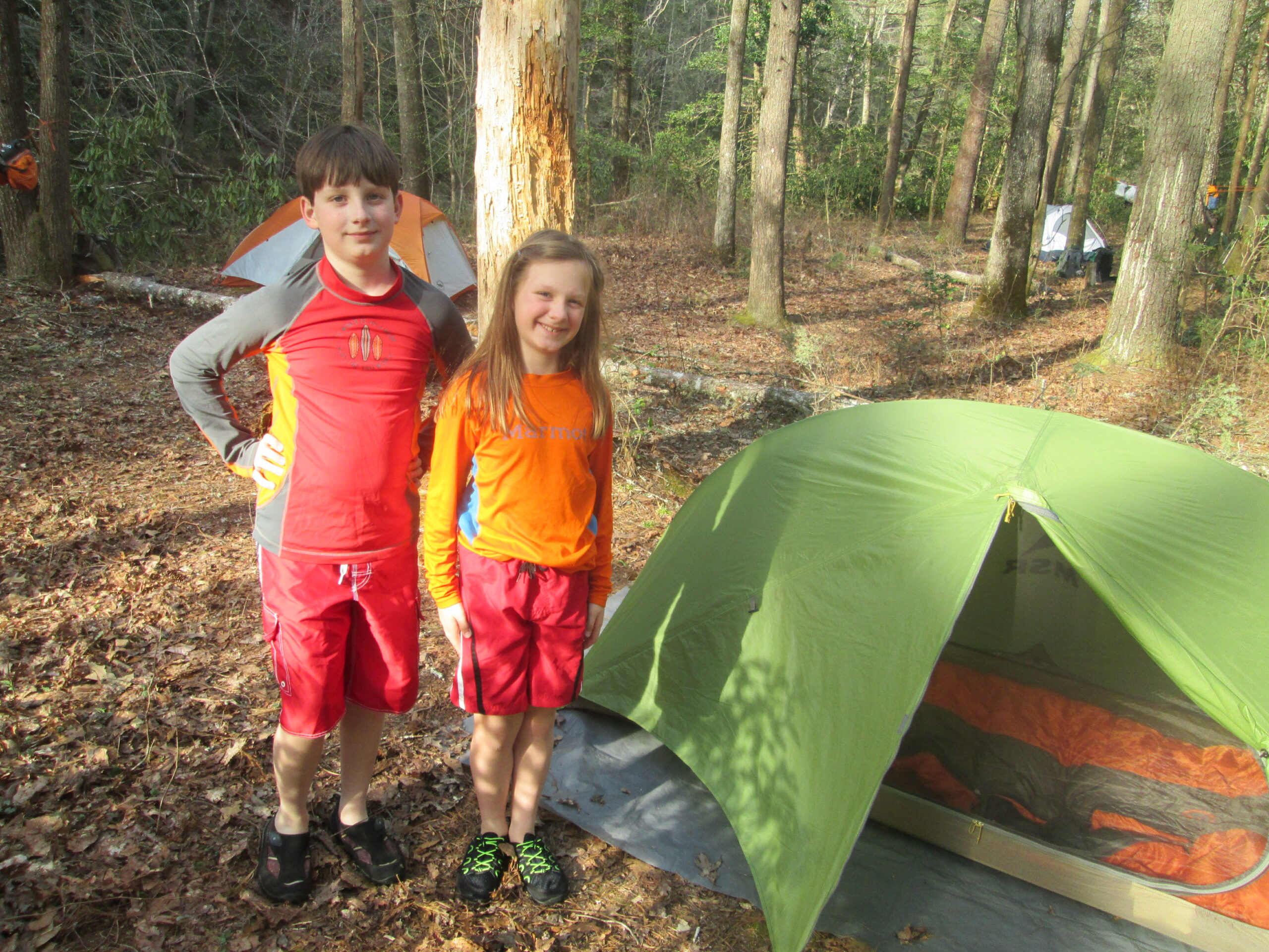
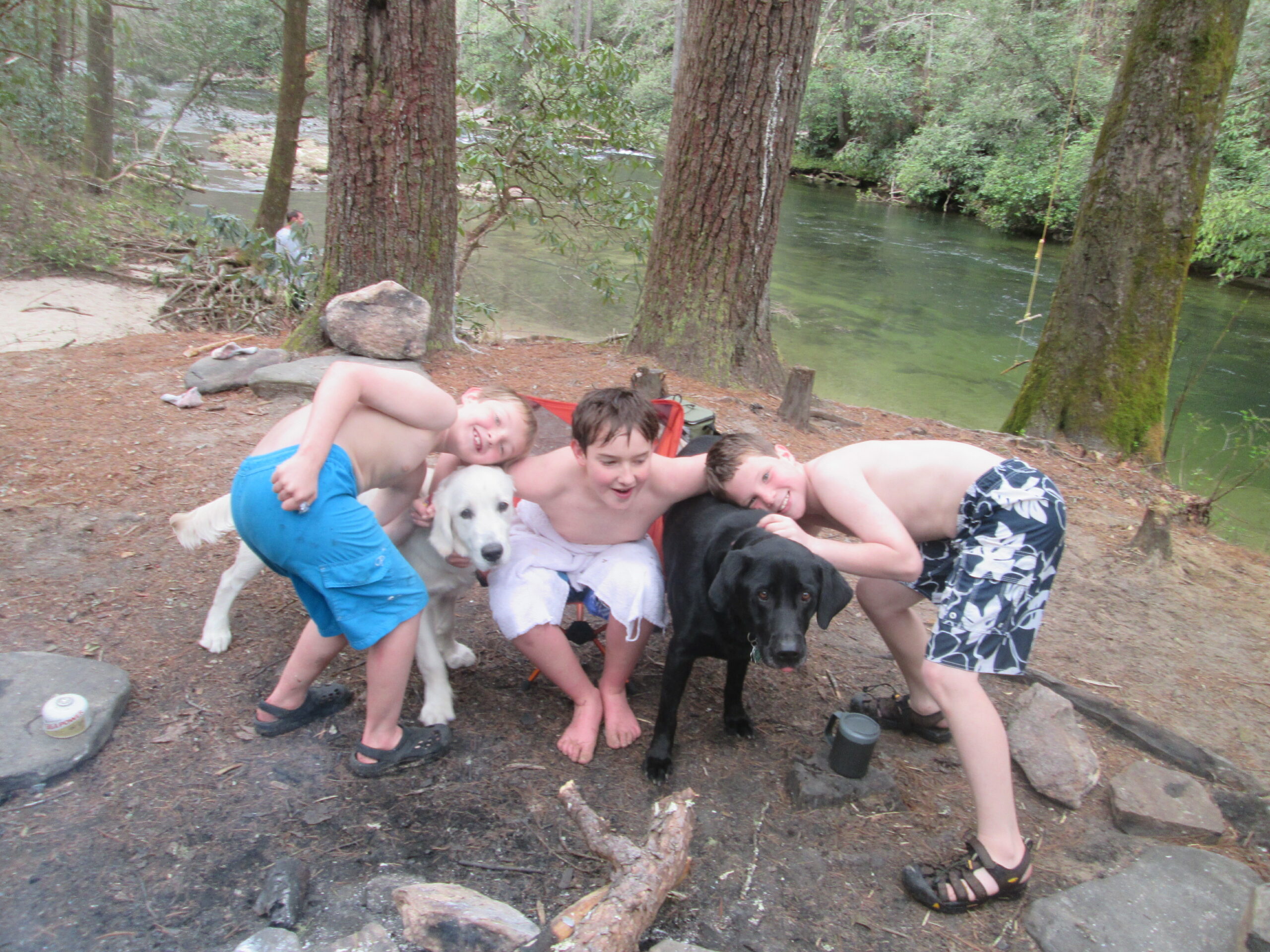
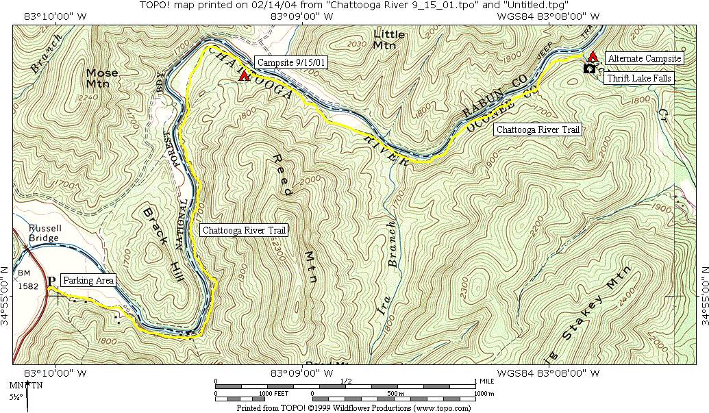
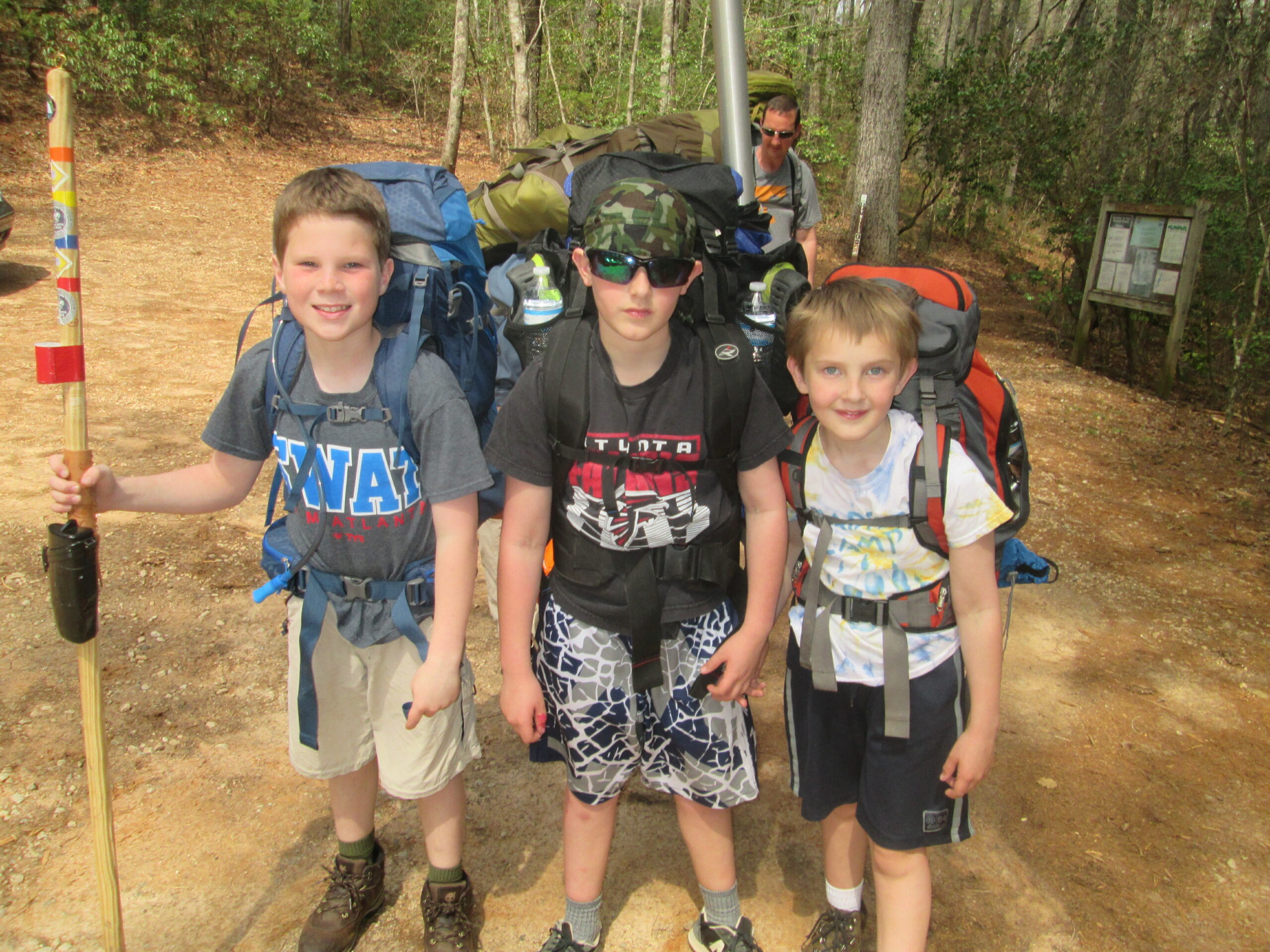
The Chattooga River Trail is a forty mile route that borders the states of North Carolina, South Carolina, and Georgia and follows the banks of the Chattooga National Wild And Scenic River from Burrell’s Ford to US 76. Congress designated the river on May 10, 1974 and it is often used by kayakers, hikers, backpackers, and fisherman as it winds from the North Carolina mountains to Lake Tugaloo. This hike at the end of Nicholson Road and follows the Foothills Trail southbound down for 0.7 miles to the Chattooga River Trail. On the descent, you pass both Thrift Lake Falls and Pig Pen Branch Falls which flow in to the Chattooga. No camping is permitted at Thrift Lake Falls, but there are campsites available downstream on the river.
- click to see Pigpen Branch Falls and us taking the plunge on the Chattooga River
- click for videos from the Upper Deck off the rope swing, our backcountry campsite, and The Firemaster
- click for a trip report of this overnight backpacking trip to Pig Pen Branch: March 25, 2016 (password required)
- click to purchase a Trails Illustrated map of this section of the Chattooga River at Russell Bridge
- click for a topo and profile map of this hike from Nicholson Ford Road to Russell Bridge
- click for a campsite map along this section of the Chattooga River Trail (password required)
- click for a trail map of the Chattooga River from Russell Bridge to Burrell’s Ford (password required)
- click for a topographical map with campsites along this section of the Chattooga River (password required)
- click for more hikes to this area in March 2016, April 2017, August 2017, September 2018, July 2022, June 2024
- click for more information on the Chattooga River Trail
- click for Chattooga River Trail hiking and backpacking books
- click for The Chattooga National Wild And Scenic River guide which has details on this destination
- click for the book Best Hikes With Dogs Georgia And South Carolina which has more information on this area
- click for other Georgia hiking and backpacking books
- click for other hikes on the Chattooga River Trail in Georgia