Otto’s Bunker
Private Property
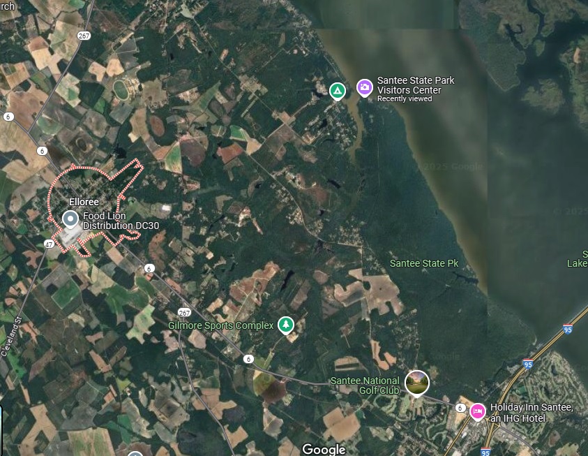
2719 W Cleveland Street
Elloree, South Carolina 29047

Elloree is a small town with a population of approximately ~600 residents located in Orangeburg County, South Carolina. The town’s name, “Elloree,” is derived from a Native American term meaning “The Home I Love.” Established in 1886, Elloree boasts a rich history and a close-knit community. Elloree offers several attractions that highlight its heritage and community spirit. The Elloree Heritage Museum & Cultural Center provides insights into the town’s history and cultural development. Additionally, the town hosts various events throughout the year, such as the Spring and Fall “Trash to Treasures” markets and the Elloree Trials, an annual horse racing event.
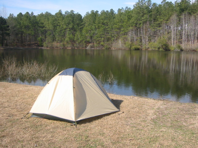
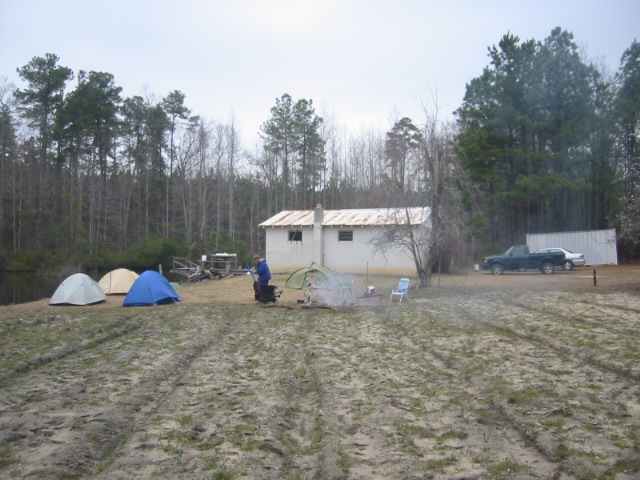
This backtrack hike is on private land on a farm near the town of Elloree. It starts at Otto’s Bunker which is a concrete building located near a small pond with numerous largemouth bass. The hike starts at the bunker and follows a series of forest roads through a pine forest. The route winds along the east side of the small pond, crosses a damn then follows a 4×4 road back to a swampy area. There is very little elevation change on this hike.
- click for photos from hiking in and around Santee State Park: February 18, 2006 (password required)
- click for a trip report from this hike near Elloree, S.C: February 18, 2006 (password required)
- click for a park map of Santee State Park
- click for a topographical map of this hike on the Oak Pinolly Trail
- click for a profile map of this hike on the Oak Pinolly Trail
- click to access the guidebook Best Hikes With Dogs Georgia And South Carolina which has details on this destination
- click for more hikes at Santee State Park on the Limestone, Oak Pinolly, and Santee Hike Trails
- click for a hike at the nearby Otto’s Bunker and pond
- click for South Carolina hiking and backpacking books
- click for more hikes in the State of South Carolina