Browns Mountain
Kings Mountain National Park
2625 Park Rd.
Blacksburg, SC 29702
(864) 936-7921

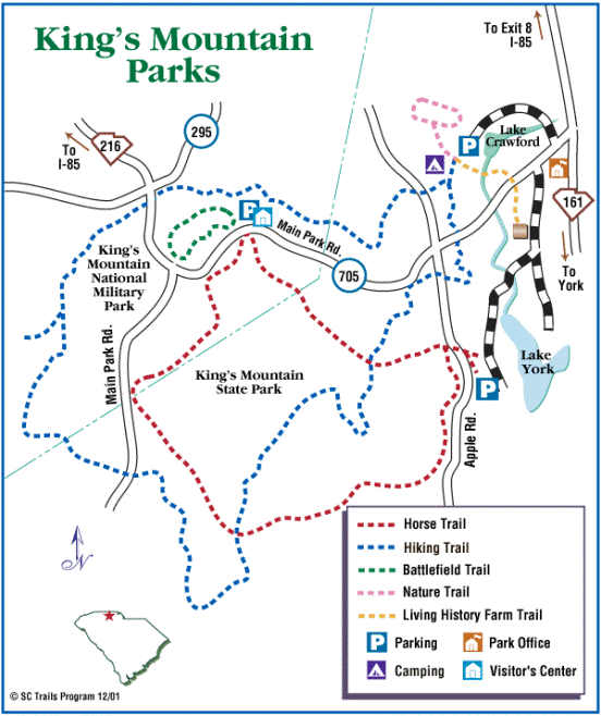
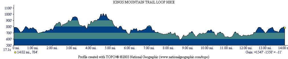
Kings Mountain National Recreational Trail passes along the southern portion of the Kings Mountain Range, and this sixteen mile hike traverses both the Kings Mountain National Military Park and Kings Mountain State Park. The military park is the site of a prominent Revolutionary War battle (discussed in more detail on the Battlefield Trail hike) while the State Park, originally built in the 1930’s by the Civilian Conservation Corps, documents the lifestyles of early pioneers at the Living History Farm. The State Park is designed to meet the needs of the modern day outdoor adventurer, with recreational activities including hiking, picnicking, fishing, paddling, and horseback riding over 6,883-acres of forest.
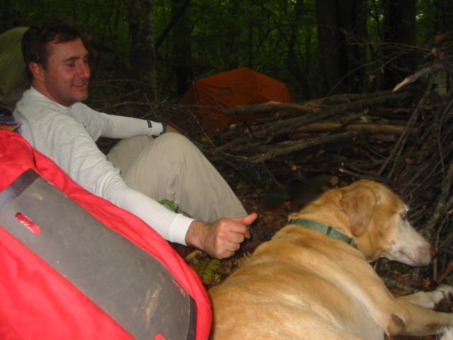
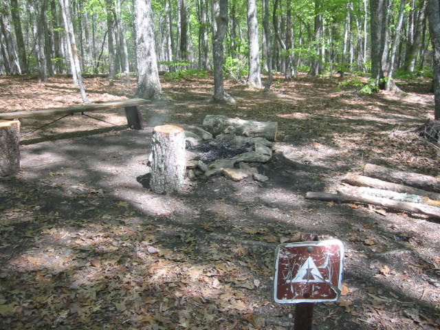
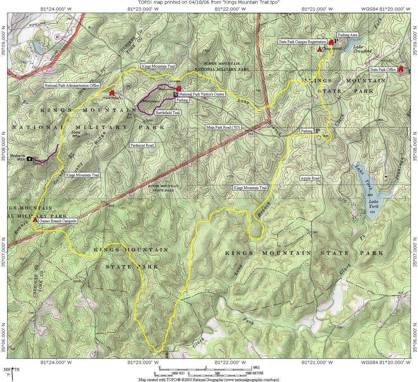
This roundtrip loop hike on the Kings Mountain National Recreational Trail includes a 0.5 mile side hike to Browns Mountain. At 1045 feet it is the highest point on the route, with decent winter views to the south and southwest. Browns Mountain was once the site of a fire tower, and the four stone pillars can still be seen on the summit where they held the foundation of the structure in place.
- click for a podcast from a hike at Kings Mountain National Military Park
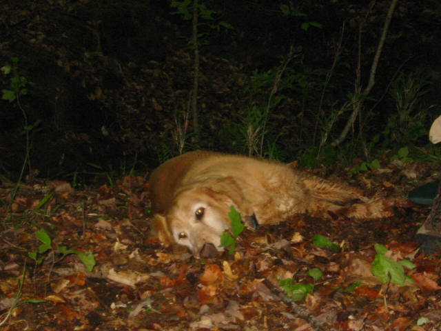
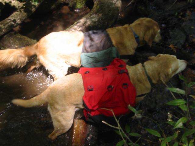
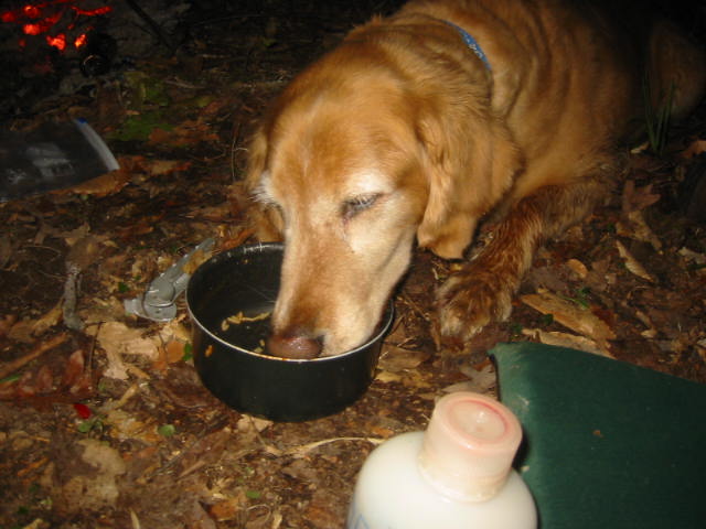
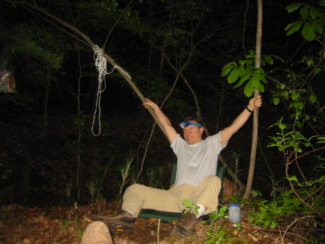
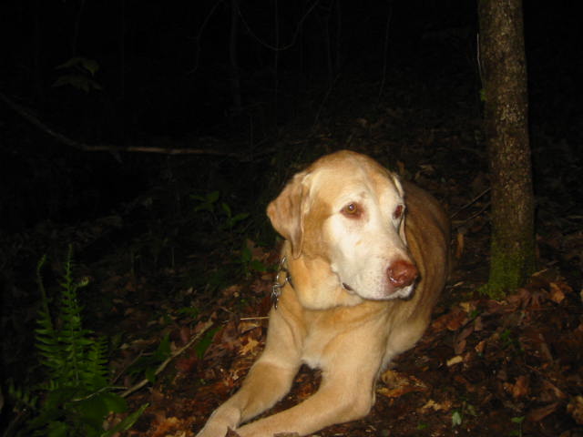
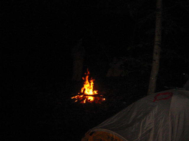
- click for more photos from this hiking and backpacking trip in South Carolina (password required)
- click for a trip report from this backpacking trip Kings Mountain: April 22, 2006
- click for a park map of Kings Mountain National Military Park
- click for a topographical map of this hike on the Kings Mountain National Recreational Trail
- click for a profile map of this hike near Blacksburg, South Carolina
- click to access the guidebook Best Hikes With Dogs Georgia And South Carolina which has details on this destination
- click for hikes on the Battlefield, Browns Mountain, Kings Mountain and Garner Branch trails in this area
- click for South Carolina hiking and backpacking books
- click for other hikes on the Foothills Trail in South Carolina