Proctor
Great Smoky Mountains National Park
107 Park Headquarters Road
Gatlinburg, TN 37738
(865) 436-1200

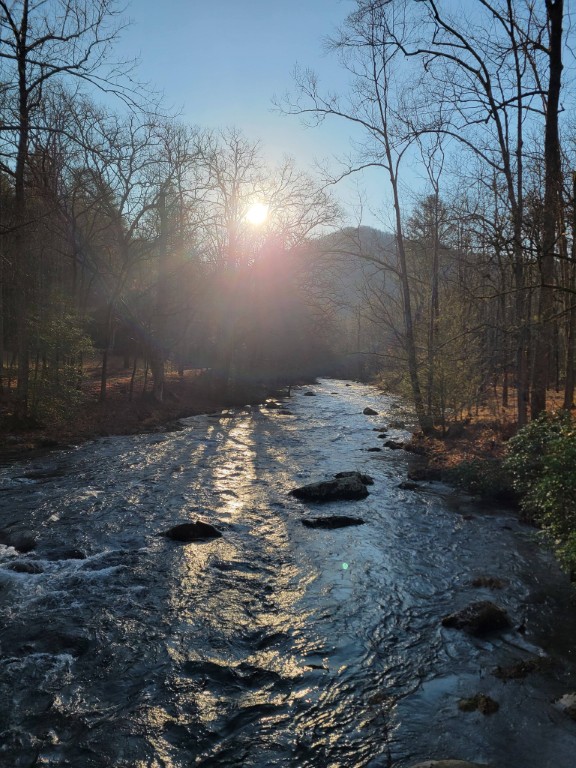
The Great Smoky Mountains National Park stretches across 800 square miles, with nearly 95 percent of its land covered in forest. These ancient mountains, which are among the oldest on Earth, are built from rocks more than 200 million years old with their jagged peaks worn down into the soft, rounded ridges that are present today. These ridgelines are traversed by the Appalachian Trail which climbs to its highest point at Clingmans Dome (6,643 feet) and straddles the border of North Carolina and Tennessee in the park. From the ridges you will often see a distinctive blue haze that lingers over the valleys. It is a natural mist that is created when plants release water vapor and organic compounds into the air which gives the area its trademark “Smoky” Mountains name. Unfortunately, the majority of the people that visit the park never visit the backcountry and see some of the best wilderness in the Southeastern U.S.
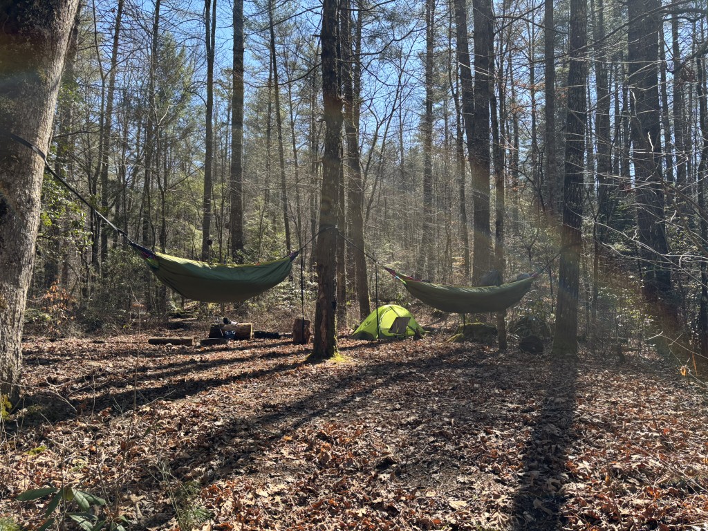
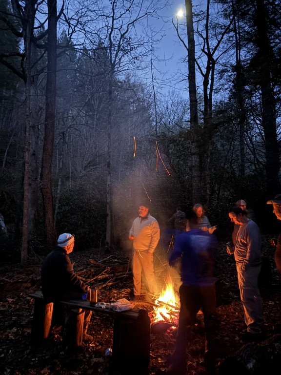
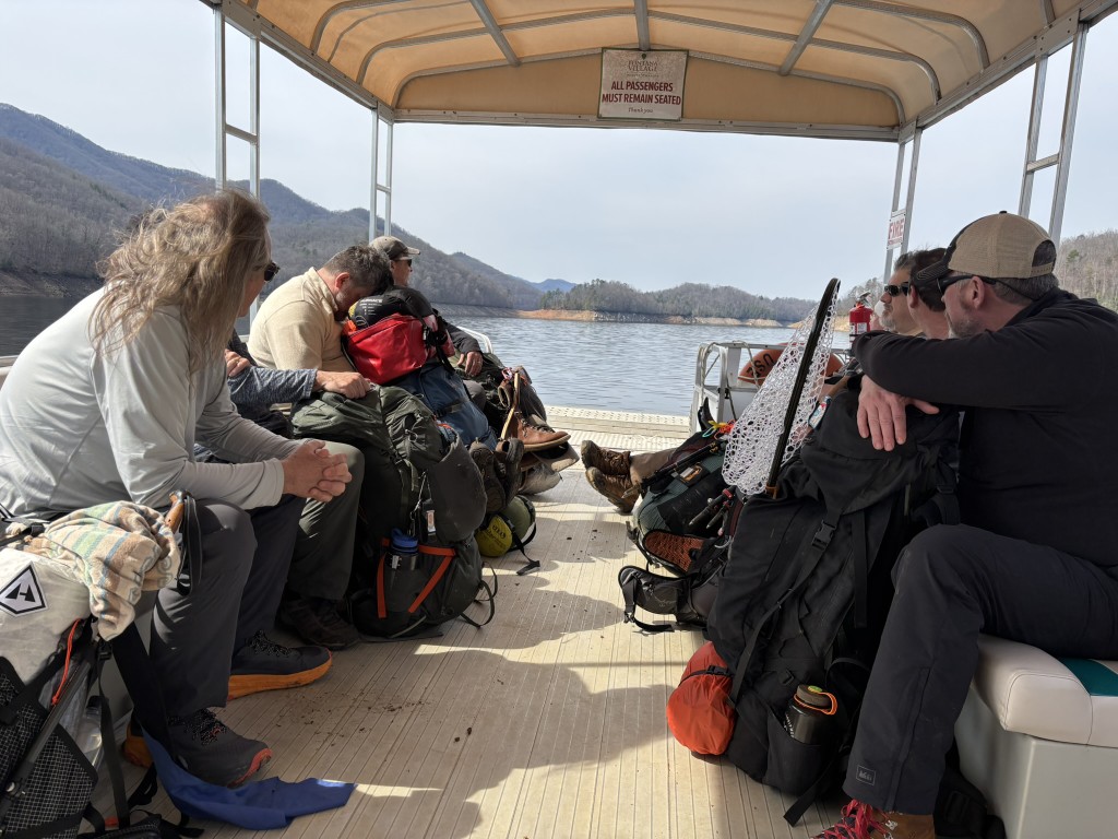
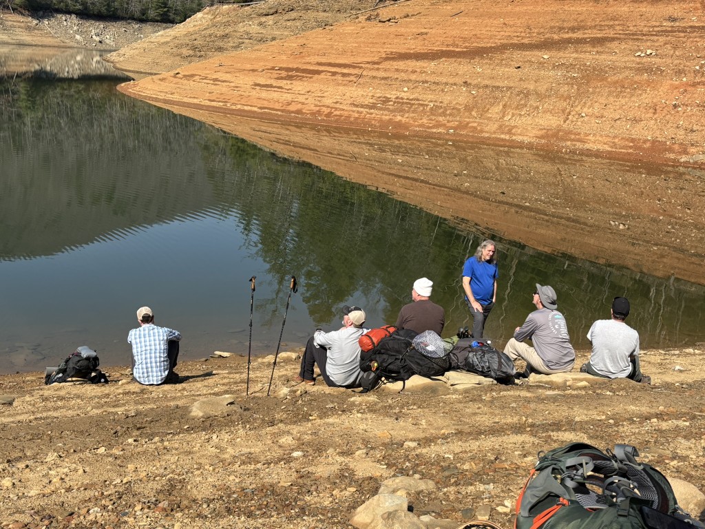
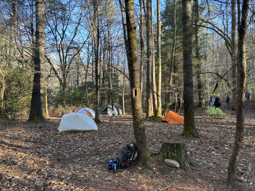
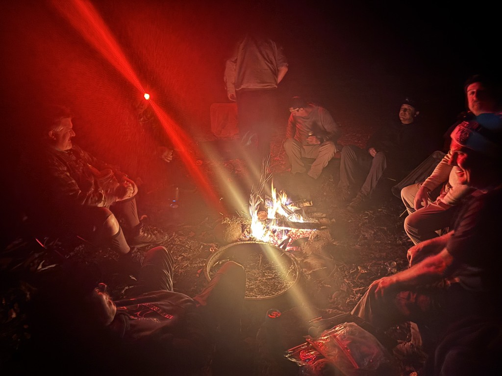
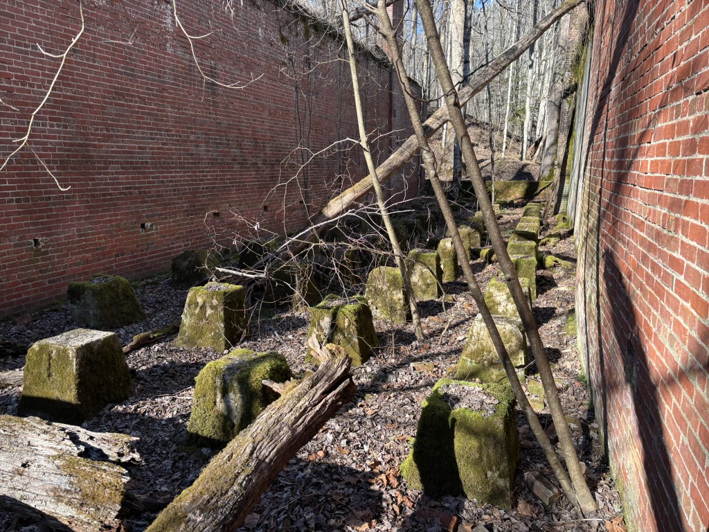
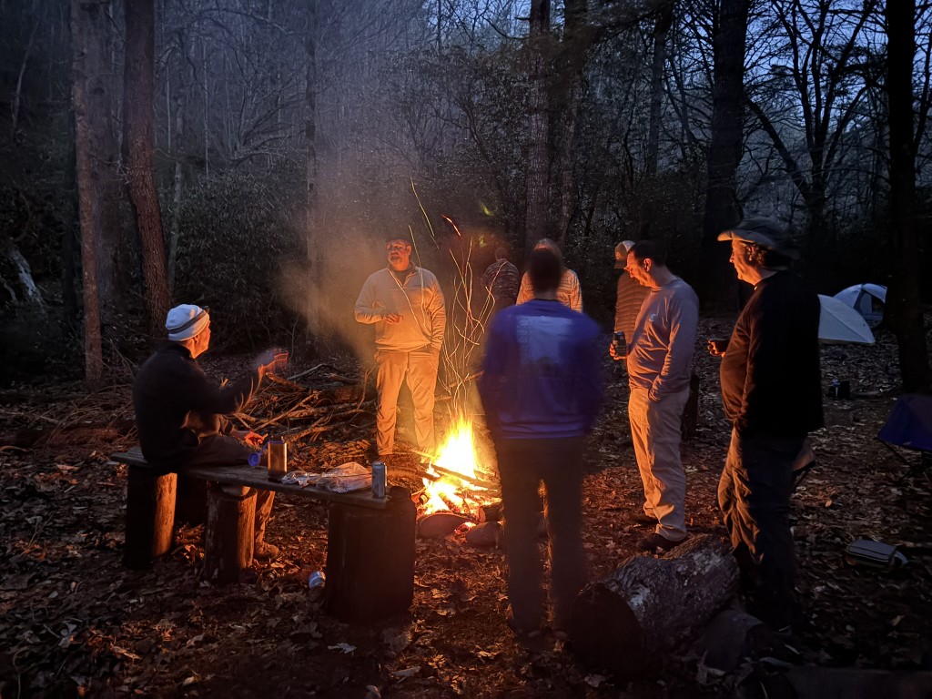
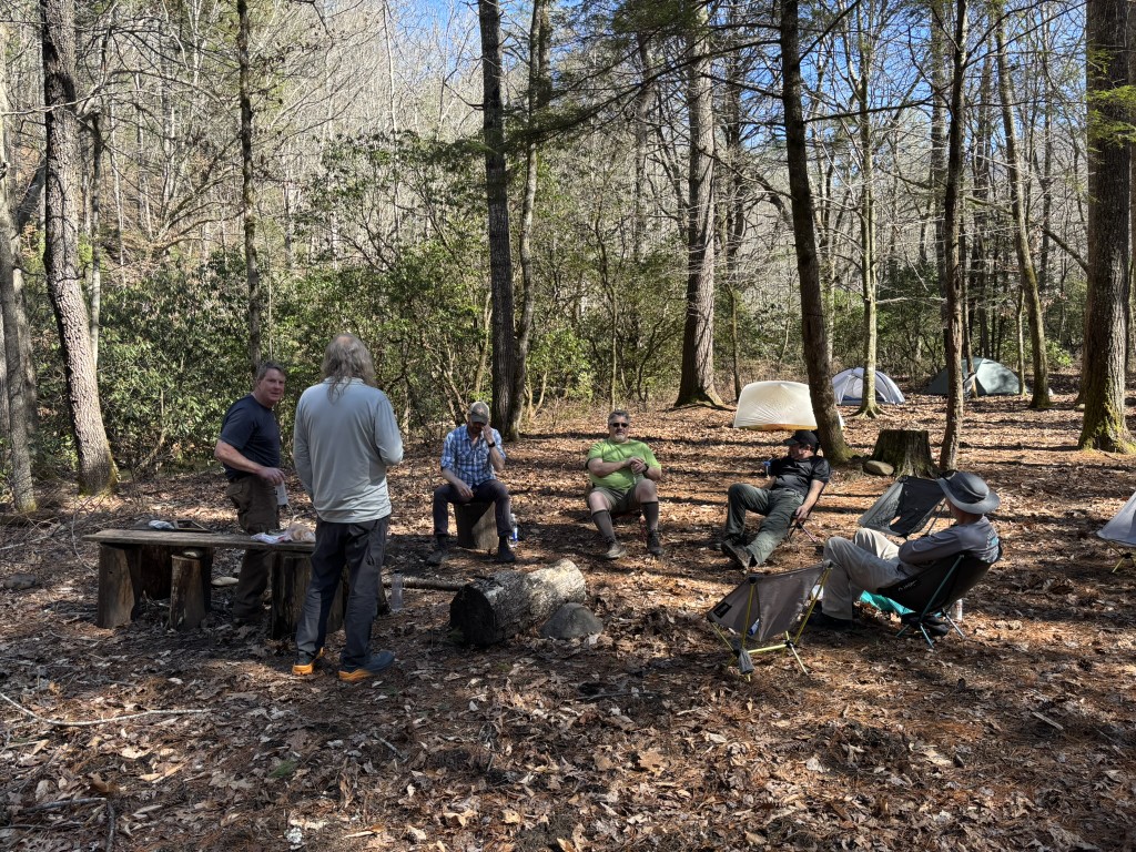
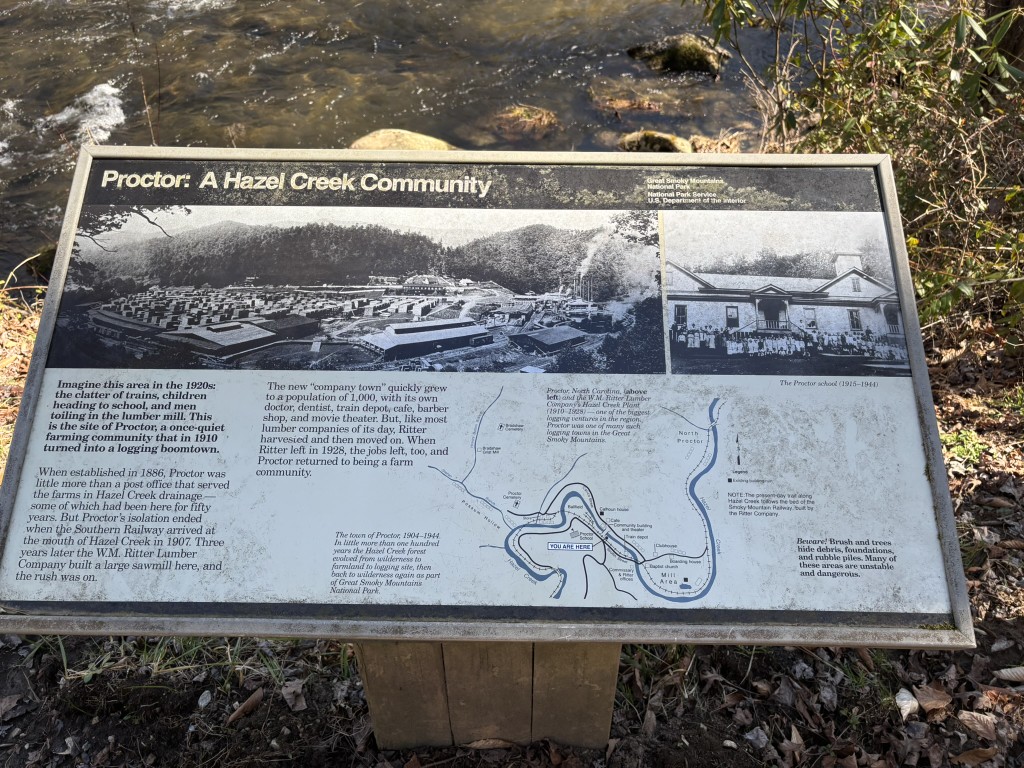
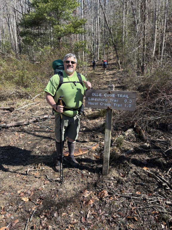
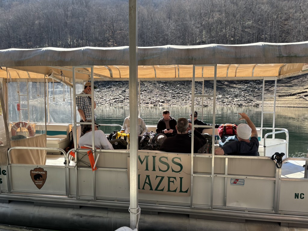
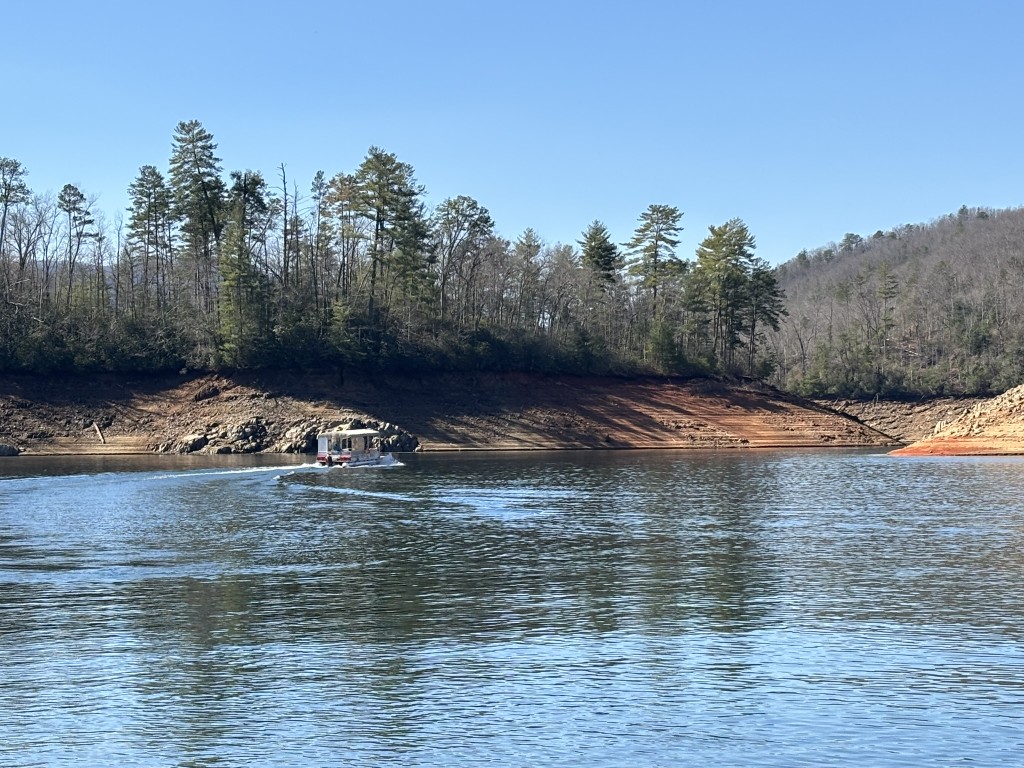
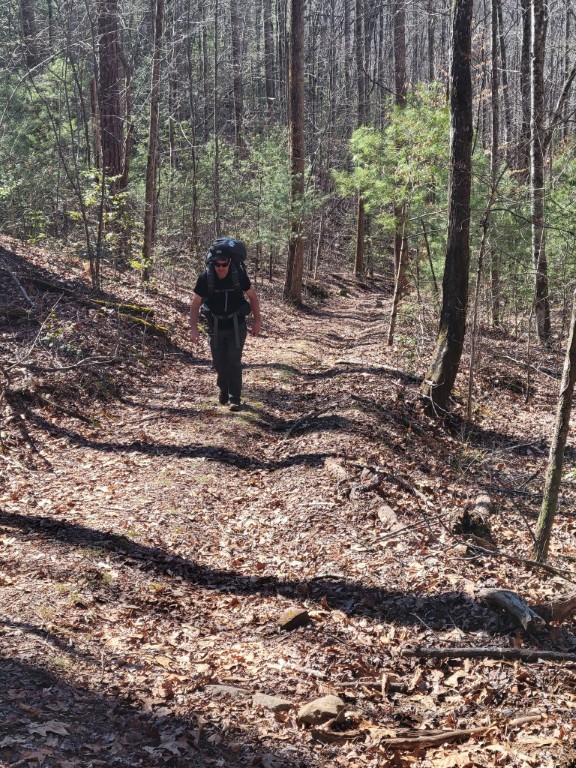
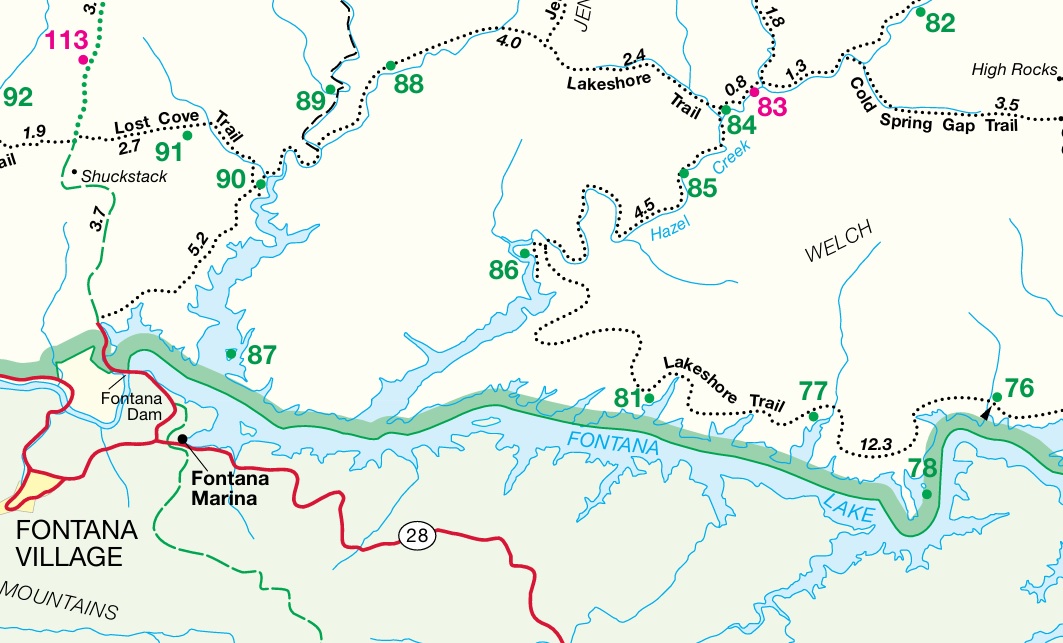
The ghost town of Proctor is deep within the Great Smoky Mountains National Park and located along the northern shore of Fontana Lake. It was once a thriving logging community in the early 1900s that was run by the Ritter Lumber Company. Proctor had a post office, school, church, and rail connection that carried timber out of the mountains and you will hike the old rain beds on this hike. The town declined after logging operations slowed and it was ultimately abandoned in the 1940s when Fontana Lake was created and flooded access routes to the town. Visitors can still see remnants of old home sites, a cemetery, and the Proctor Baptist Church in this area, or camp at site #85 which has four camping areas that serve 20 hikers here.
- click for a video of the Calhoun House and an abandon mill in the ghost town of Proctor
- click for our last contact with civilization and a Smoky mountain hog trap
- click for a trip report from this hike to Proctor: February 28, 2026 (password required)
- click for a Trails Illustrated map of Great Smoky Mountains National Park
- click for a road and facilities map of Great Smoky Mountains National Park
- click for a topo and profile map from this hike to Proctor (password required)
- click for a trail map of Great Smoky Mountain National Park
- click for a trail map of this campsite at Proctor along the Hazel Creek Trail
- click for a map of some other trails hiked in this area in the Great Smoky Mountains National Park
- click for a list of all our Klondike hikes that date back to the late 90’s (password required)
- click for the guidebook Trail By Trail: Backpacking In The Smoky Mountains which has details on this destination
- click for other North Carolina hiking and backpacking books