Yellow Mountain
Nantahala National Forest
Wayah Ranger District
Franklin, NC 28734
828-524-6441
The Nantahala National Forest is the largest of the four national forests in North Carolina and is the the second wettest region in the country – after the Pacific Northwest. The word “Nantahala” is a Cherokee word meaning “Land of the Noonday Sun.” In some spots, the sun only reaches the floors of the deep gorges in the middle of the day. The National Forest has 531,270 acres with elevations ranging from 5,800 feet at Lone Bald in Jackson County to 1,200 feet in Cherokee County along the Hiwassee River.
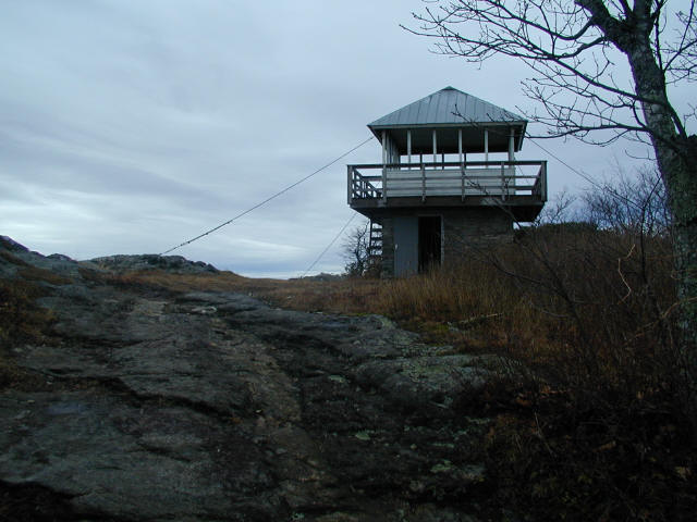
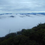
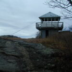
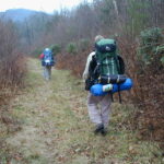
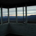
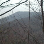
Yellow Mountain at 5,127 feet has excellent views in all directions and is the site of a decommissioned fire tower. The tower was reconstructed in 1990 and was recognized as a national historic lookout in 1992. The hike to the firetower is a difficult one with climbs up Goat Knob, Yellow and Cole Mountain to access the lookout. However, the spectacular views from both Yellow and Cole Mountain (via a short side trail) make this a worthwhile day or overnight destination.
- click for photos from this hike to a historic firetower at Yellow Mountain: December 8, 2001
- click for a detailed trip report from this backpacking trip to Yellow Mountain Gap: December 8, 2001 (password required)
- click or a trip report of this hike on the Yellow Mountain Trail (password required)
- click to purchase the Nantahala and Cullasaja Gorges Trails Illustrated map
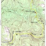
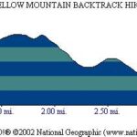
- click for a topo and profile map from this hike on the Yellow Mountain Trail (password required)
- click for a topographical and profile map of this hike to Yellow Mountain
- click for a hike to the nearby Panthertown Creek starting at the Salt Rock Gap trailhead
- click to access the guidebook North Carolina Hiking Trails which has details on this destination
- click for other North Carolina hiking and backpacking books
