Gregory Bald
Great Smoky Mountains National Park
107 Park Headquarters Road
Gatlinburg, TN 37738
(865) 436-1200

The Great Smoky Mountains National Park stretches across 800 square miles, with nearly 95 percent of its land covered in forest. These ancient mountains, which are among the oldest on Earth, are built from rocks more than 200 million years old with their jagged peaks worn down into the soft, rounded ridges that are present today. These ridgelines are traversed by the Appalachian Trail which climbs to its highest point at Clingmans Dome (6,643 feet) and straddles the border of North Carolina and Tennessee in the park. From the ridges you will often see a distinctive blue haze that lingers over the valleys. It is a natural mist that is created when plants release water vapor and organic compounds into the air which gives the area its trademark “Smoky” Mountains name. Unfortunately, the majority of the people that visit the park never visit the backcountry and see some of the best wilderness in the Southeastern U.S.
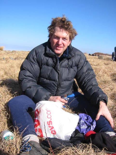
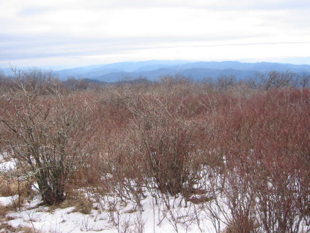
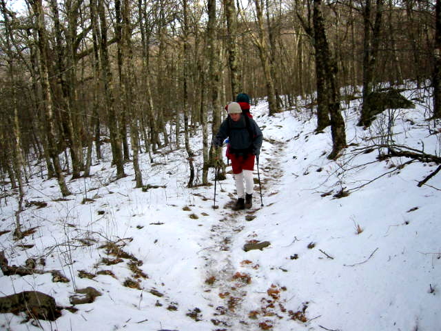
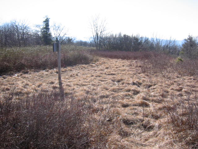
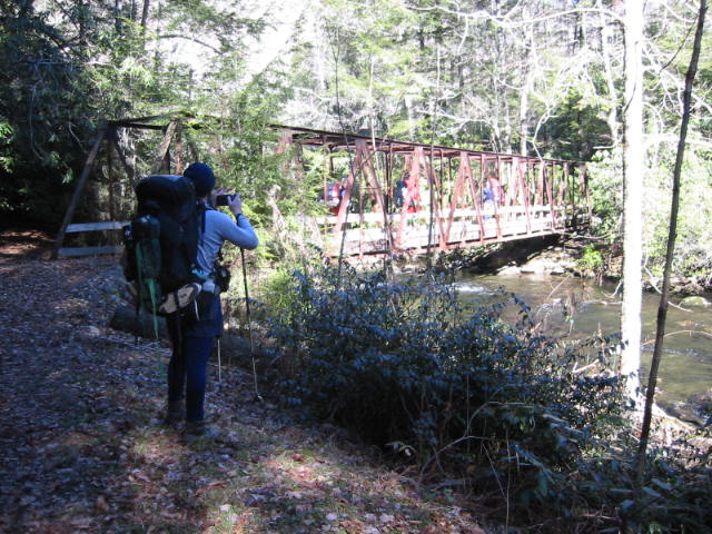
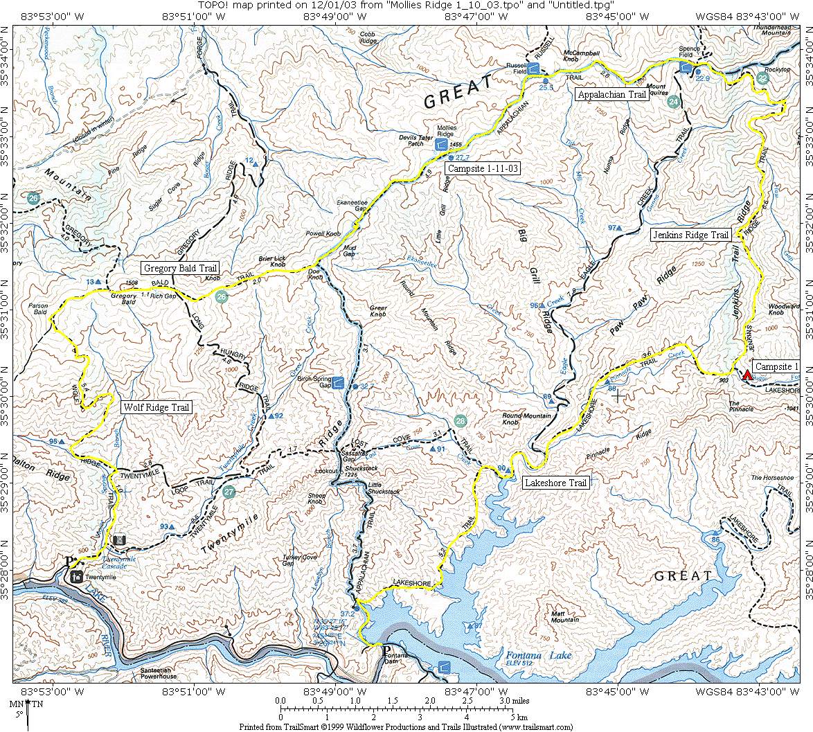
Gregory Bald is a grassy summit found in the southern Appalachians at ~4,949 ft. It is located in the Western Smokies and is on the Tennessee–North Carolina border above Cades Cove and Gregory’s Bald Ridge. The bald is named for Russell Gregory who had a stone cabin on the summit and was one of the earliest settlers in the Cades Cove area. Gregory used the area and grassy summit for summer cattle grazing. In the Civil War, Russell Gregory opposed Union guerrillas operating in Cades Cove and was killed by a raiding group. The bald later took his name in memory. On this hike, we climbed to the Appalachian Trail via Jenkins Ridge, then followed it to the Gregory Bald Trail which we took to the summit. Here there are views in all directions until you drop off the ridgeline via the Wolf Ridge Trail to Twentymile.
- click for more photos from this hike in Great Smoky Mountain National Park: January 11, 2003
- click for a trip report from this hike across Clingman’s Dome: January 11, 2003 (password required)
- click to purchase a Trails Illustrated map of Great Smoky Mountains National Park
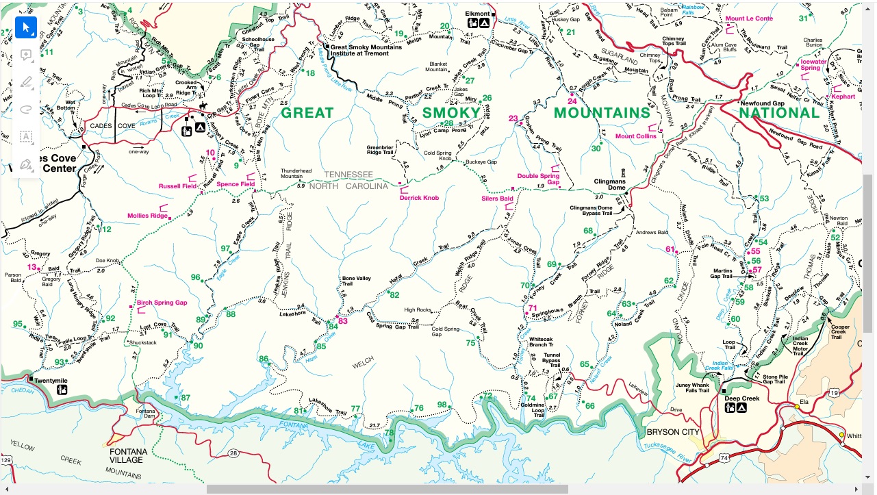
- click for a road and facilities map of Great Smoky Mountains National Park
- click for a trail map of Great Smoky Mountain National Park
- click for a topographical and profile map of this hike to Gregory Bald
- click for a map of some other trails hiked in this area in the Great Smoky Mountains National Park
- click for a list of all our Klondike hikes that date back to the late 90’s (password required)
- click for more hiking and backpacking books on the Appalachian Trail
- click for the guidebook Trail By Trail: Backpacking In The Smoky Mountains which has more hikes in this area
- click for other North Carolina hiking and backpacking books