Crowders Mountain
Crowders Mountain State Park
522 Park Office Lane
Kings Mountain, NC 28086
(704) 853-5375

Crowders Mountain is one of two main peaks within Crowders Mountain State Park, the other peak being King’s Pinnacle. The park is located in the western Piedmont of North Carolina between the cities of King’s Mountain and Gastonia or about 25 miles (40 km) west of Charlotte. Crowders Mountain abruptly rises nearly 800 feet (240 m) above the surrounding terrain, and has an elevation of 1,625 feet (495 m) above sea level. The mountain was named after Ulrich Crowder, a German merchant and farmer who in 1789 purchased the mountain and surrounding land before moving west. Crowders Mountain and nearby King’s Pinnacle once served as markers to separate the hunting grounds of the Catawba and Cherokee Indians.
In the early 1970s plans were made to develop and excavate the mountain for kyanite, a mineral used to make porcelain. This led the city council of Gastonia, North Carolina and other concerned citizens to purchase the mountain from developers and give it to the state government. In 1974 the State of North Carolina created Crowders Mountain State Park. The mountain presents sheer rock cliffs which are 100 – 150 feet (46 m) in height, and which are popular among rock climbers. Several hiking trails lead to the mountain’s summit, from which it is possible to view the skyscrapers of nearby Charlotte, North Carolina on a clear day.
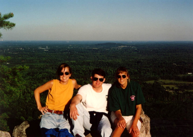
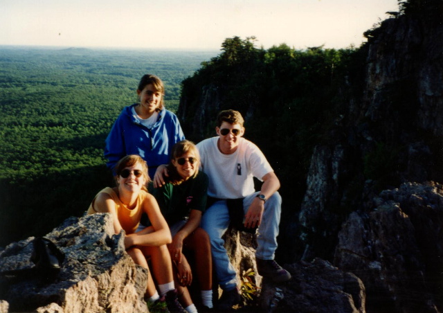
- click for more photos from this hike to Crowder’s Mountain: September 11, 1993
- click for a Daytimer report from this trail near Gastonia, N.C. September 11, 1993 (password required)
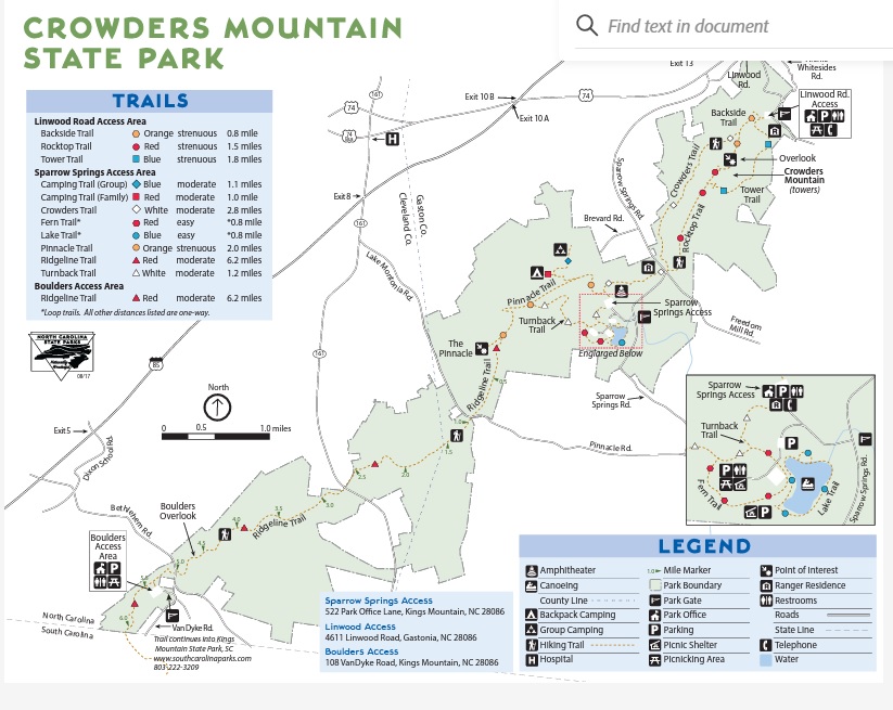
- click for a park and trail map from Crowder’s Mountain State Park
- click for a topographical and profile map from this hike on the Tower Trail (password required)
- click for another hike to Crowder’s Mountain in September 1991
- click for the guidebook Best Easy Day Hikes Charlotte which has details on this destination
- click for the guidebook Hiking North Carolina for more hiking and backpacking trails in North Carolina
- click for more hikes in the State of North Carolina