Mount Tammany (via Delaware Water Gap)
Delaware Water Gap
National Recreation Area
Bushkill, PA 18324
570-588-2451

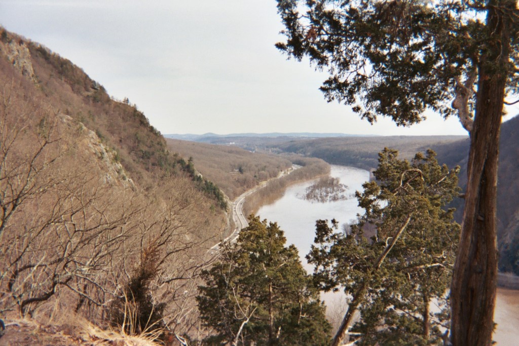
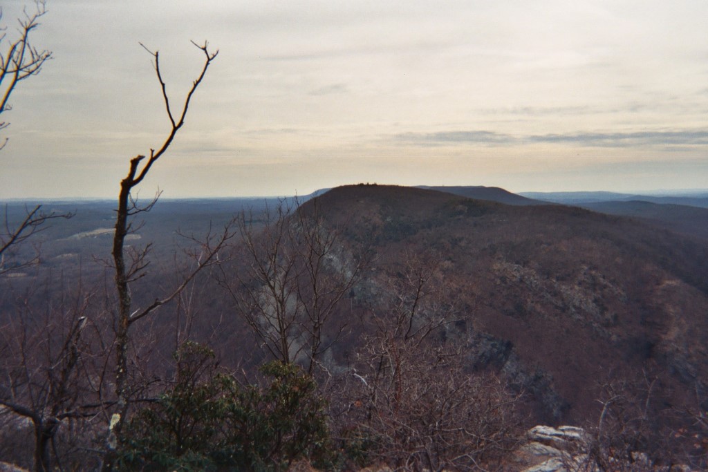
The Delaware Water Gap National Recreation Area (NRA) is a scenic protected area along the border of New Jersey and Pennsylvania, covering 70,000 acres along the Delaware River. It is known for its rugged mountains, waterfalls, forests, and outdoor recreational opportunities. The gap is a dramatic notch in the Kittatinny Ridge, carved by the Delaware River. Mount Tammany is the southernmost peak of the Kittatinny Mountains in New Jersey. At 1,526 feet in elevation it forms the east side of the Delaware Water Gap.
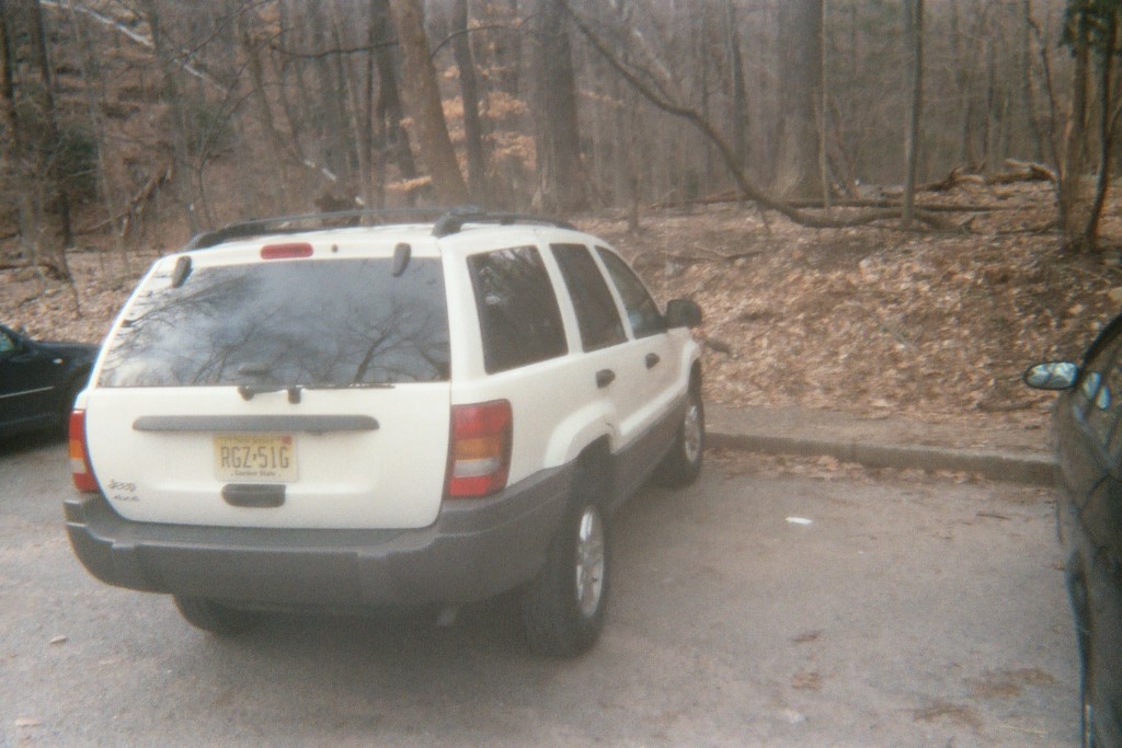
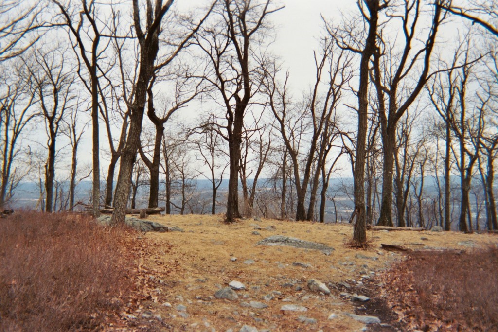
This loop hike begins at the Dunnfield parking area just off I-80 near the Delaware Water Gap NRA visitor’s center. The route follows the Blue Blazed Trail (which shares the first 0.3 miles with the Appalachian Trail) for to the top of Mt. Tammany after 2.5 miles. The Blue Blazed Trail ends at the summit, but you can follow the Red Dot Trail (also known as the Mt. Tammany Trail) back down to the parking area. This hike begins with a pleasant walk along a stream then makes a slow and gradual 1250 foot ascent to Mt. Tammany which has outstanding 180 degree views of the gap and the Delaware River. It can be hiked in either direction but is probably easiest if walked clockwise (which is described here.)
- click for more photos from this day hike to Mt. Tammany: March 30, 2005
- click for a trip report from this hike starting at the Delaware Water Gap: March 30, 2005 (password required)
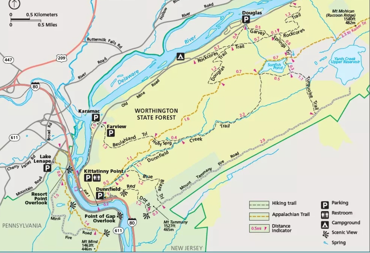
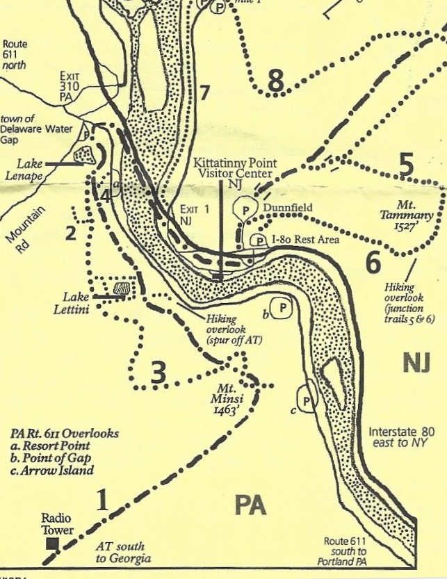
- click for a park map of the Delaware Water Gap and Mt. Tammany area
- click for a topographical & profile map of this hike to Mt. Tammany (password protected)
- click for a trail map of this hike in the Worthington State Forest
- click for more hikes in the Delaware Water Gap National Recreation Area (password protected)
- click for the guidebook Hiking New Jersey with more hikes in this area
- click for more hikes in the State of New Jersey