Appalachian Trail #9 (Gorham to Gentian Pond)
Appalachian Trail Conservancy
799 West Washington Street
Harpers Ferry, WV 25425
(304) 535-6331

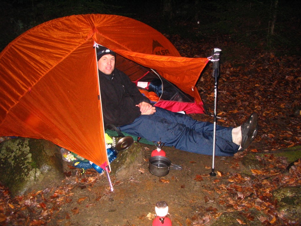
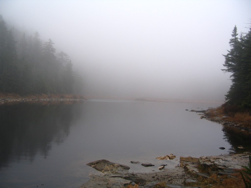
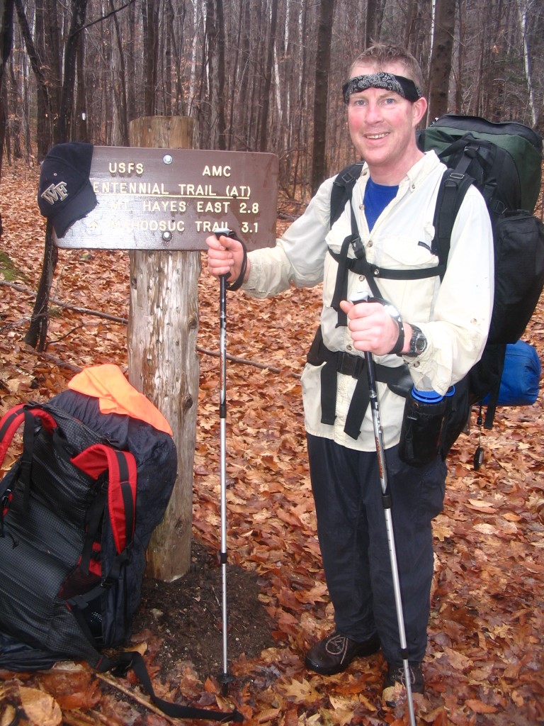
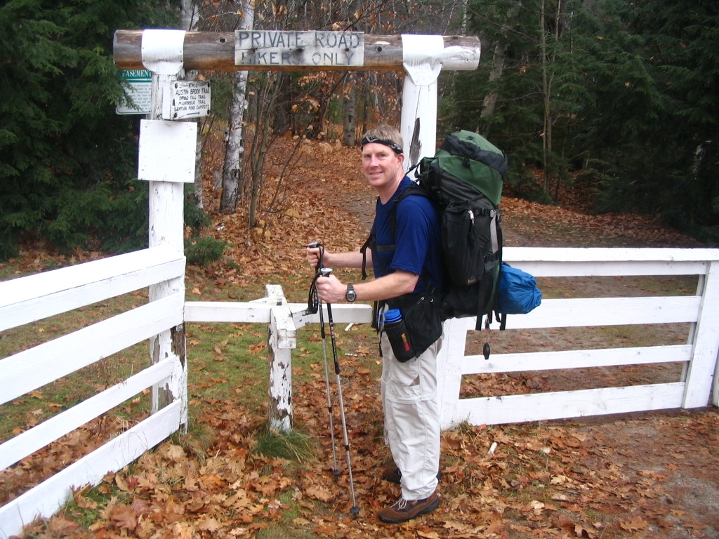
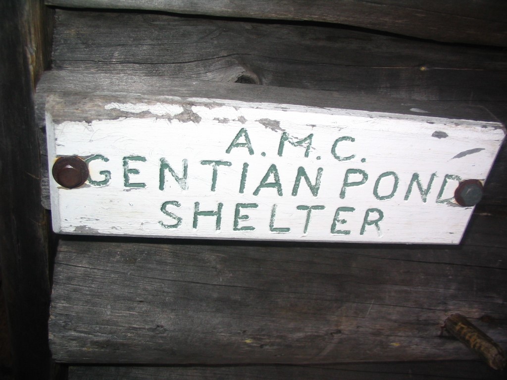
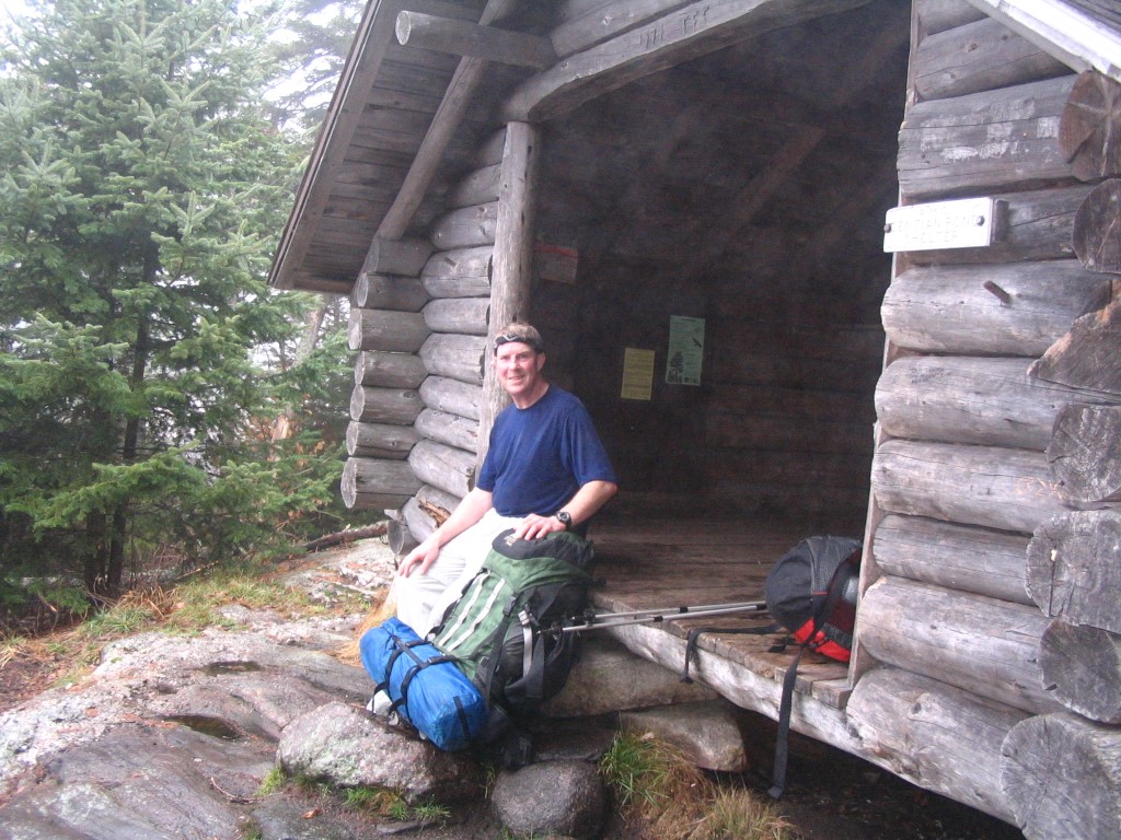
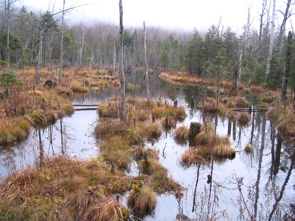
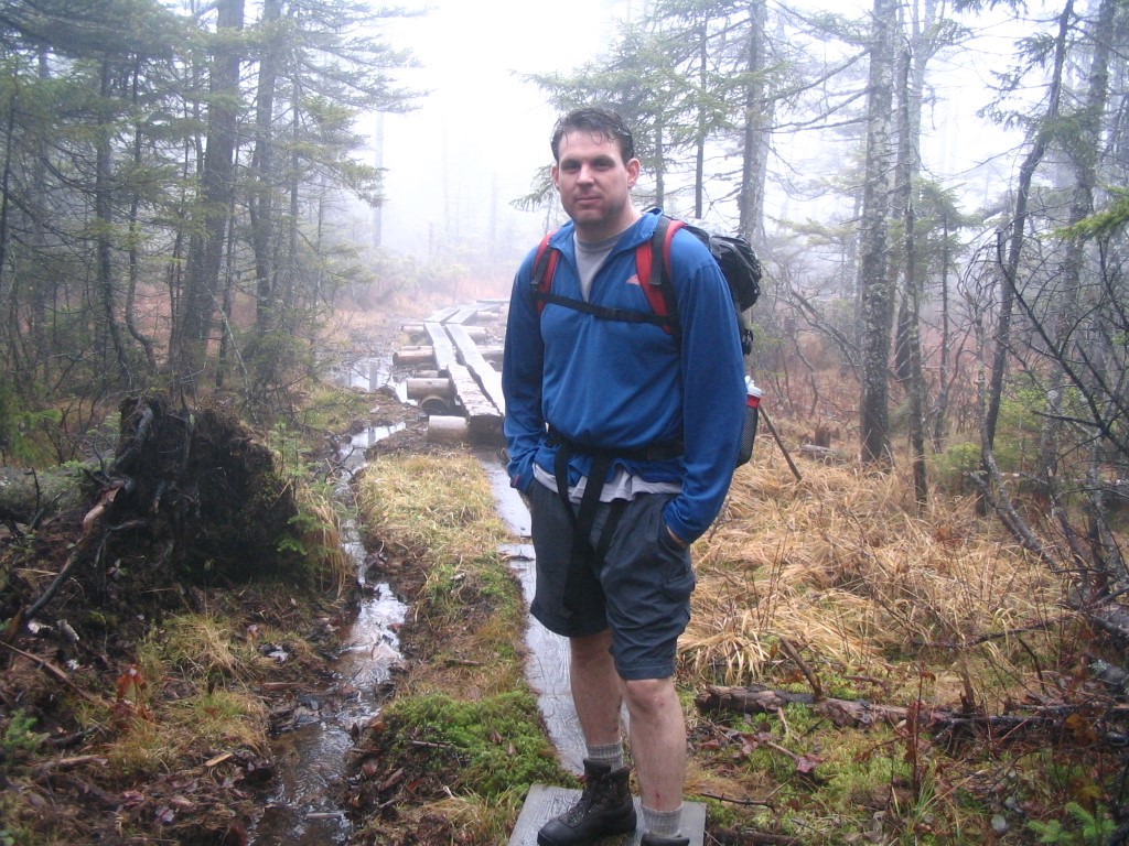
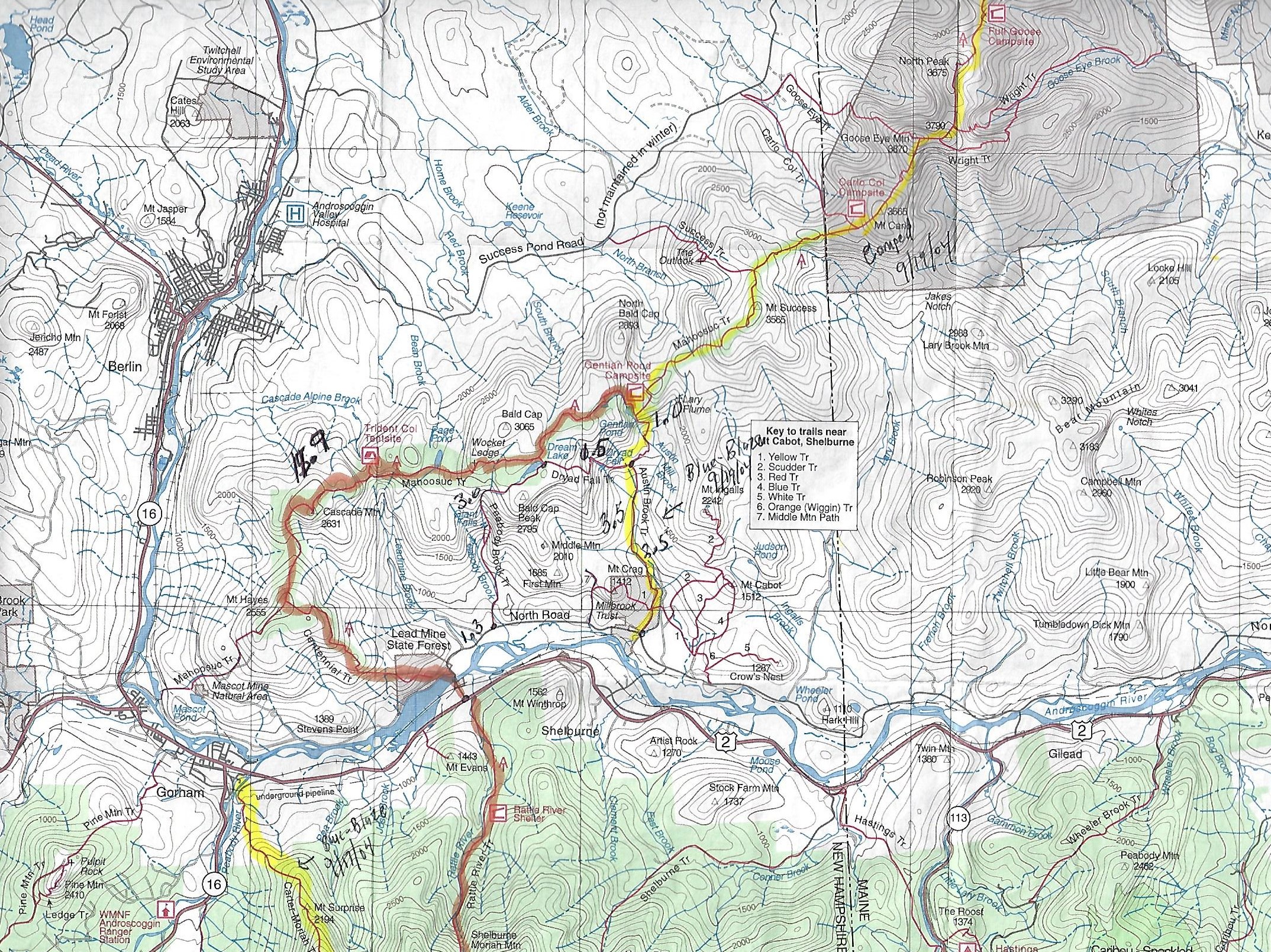
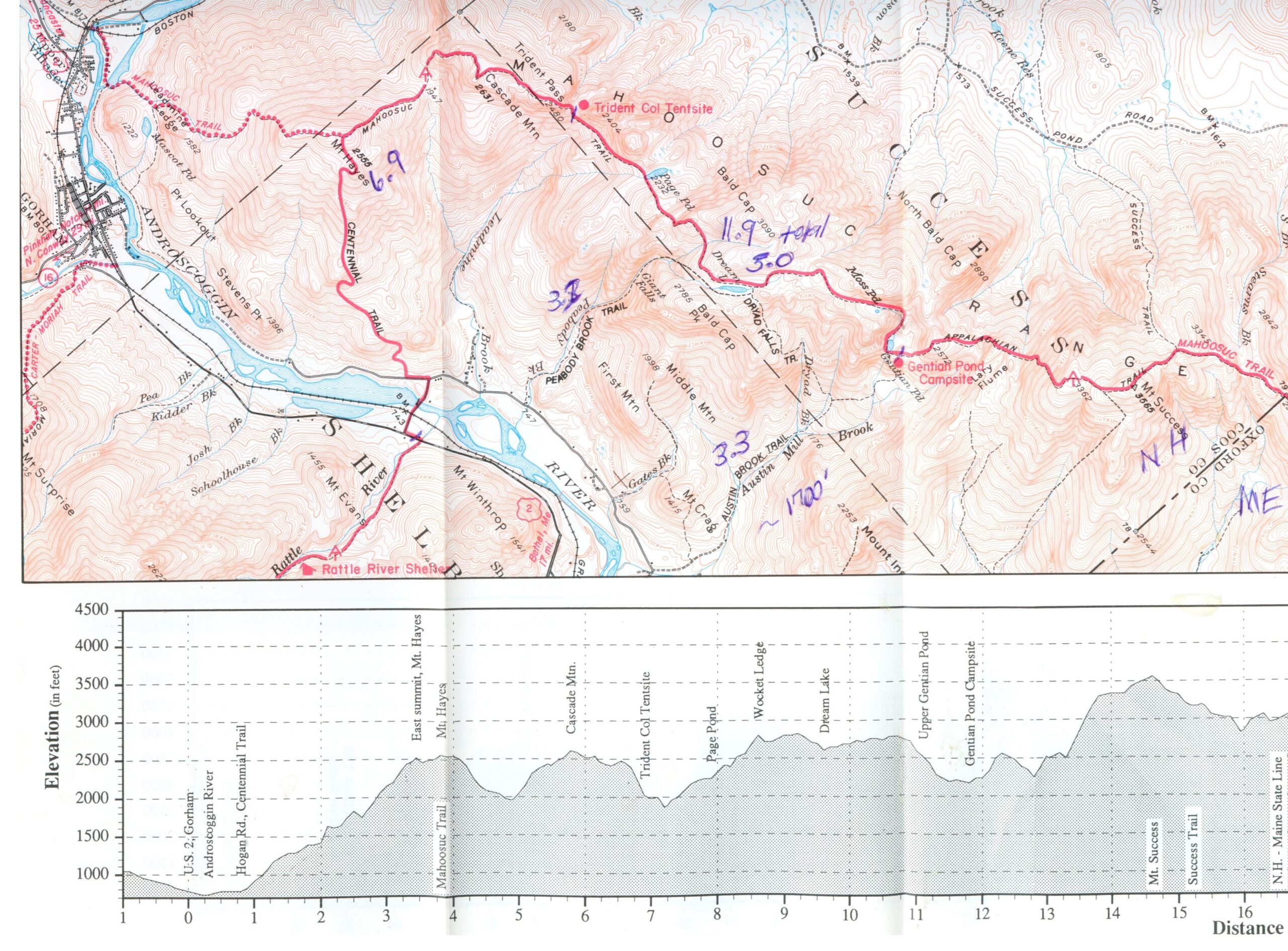
Gentian Pond is a small alpine lake situated at 2165 feet along a ridgeline northeast of Gorham. The Appalachian Trail passes right in front of the Gentian Pond Shelter which is a small multi-level structure with two platforms for sleeping. The Camel and I were quite happy to find this shelter after climbing up 3.3 miles to the ridgeline. It was being pounded by strong winds from the south when we arrived, and the clouds were depositing their excess water on the ridge as we hiked the remainder of the day. To reach the shelter, we climbed 1700 feet from the North Road to Gentian Pond via the Austin Brook Trail which was a great place to break for lunch.
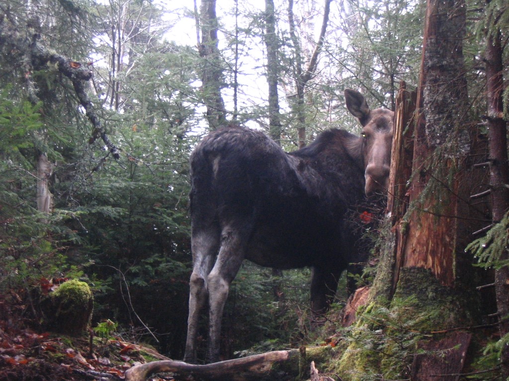
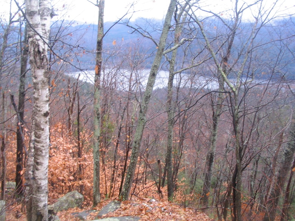
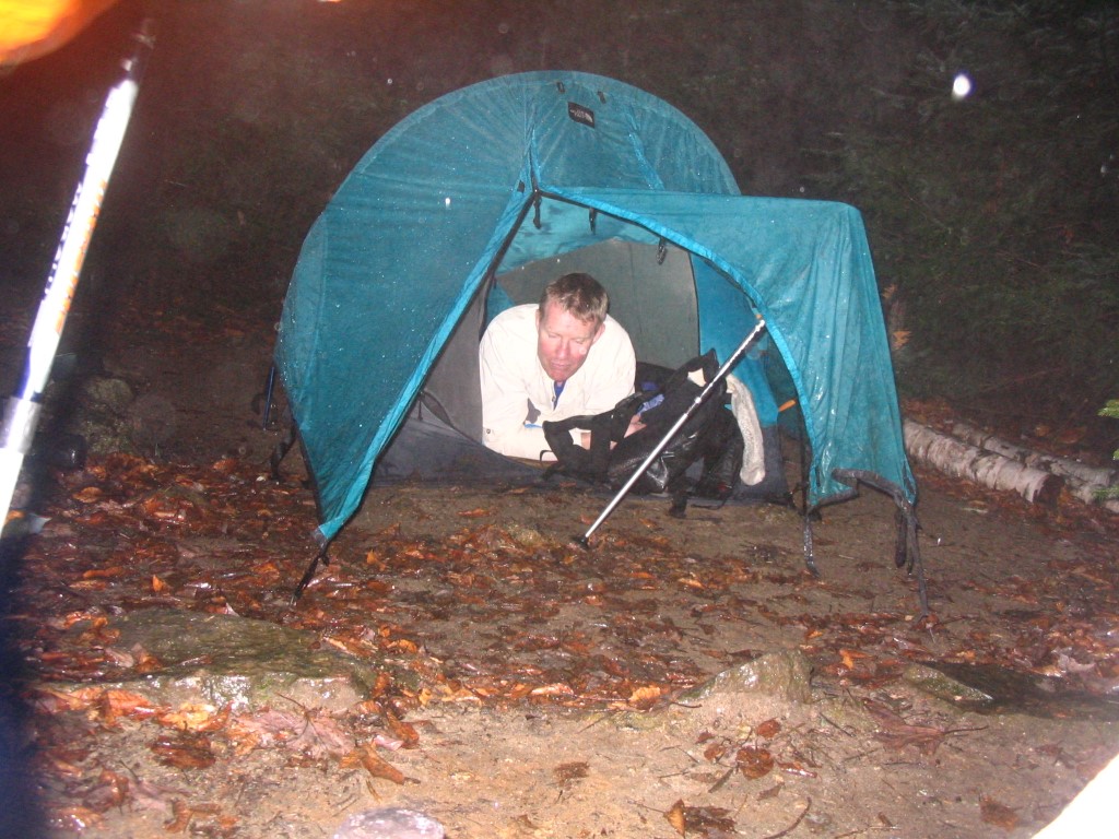
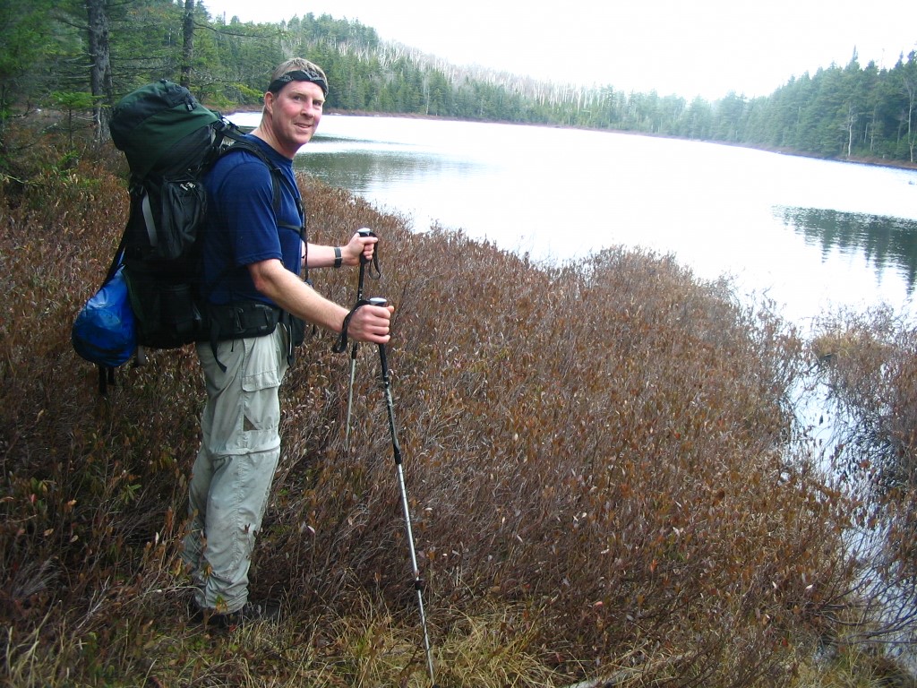
The remainder of our route followed the A.T. back to U.S. 2 for a total hike of 15.4 miles – scrambling up and down numerous rock formations and crossing many a bog bridge in the process. Along the way we passed Gentian, Moss, and Page Pond and also traversed the larger and more scenic Dream Lake. A large bull and cow moose startled us just before Page Pond, but ambled off as we snapped some photos. We missed the dramatic views from Cascade Mountain and Mt. Hayes due to overcast and wet conditions, and after a night at the Trident Col Campsite we returned to U.S. 2 where the A.T. crosses the road just outside of Gorham. The trail from Gorham, NH to Stratton, ME is arguably one of the toughest sections on the A.T. It is rugged, rocky, and wild. However, there is significantly less trail traffic here, and you are likely to enjoy the remoteness once again, especially after traversing the heavily populated mountains of the Whites.
- click for a video from this hike near Gorham, New Hampshire: November 8, 2008
- click for more photos from this hike to Gentian Pond: November 8, 2008
- click for a trip report from this hike on the Appalachian Trail: November 8, 2008 (password required)
- click for a trail map from Gorham to the NH/ME border
- click for a topo and profile map of this loop hike to Gentian Pond (password protected)
- click for a topo and profile A.T. map of this hike near Gorham
- click for a topo map with details from this hike on the Austin Brook Trail (password protected)
- click for a map of the Appalachian Trail in New Hampshire (password protected)
- click for a trail map of the entire ~2200 mile Appalachian Trail
- click for the guidebook Appalachian Trail: New Hampshire – Vermont
- click for New Hampshire hiking and backpacking books
- click for more hiking & backpacking trips in the State of New Hampshire