Charles River Esplanade
Esplanade Association
575 Boylston St Suite 4R
Boston, MA 02116
(617) 227-0365
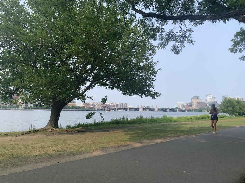
The Charles River Esplanade is a scenic park located along the banks of the Charles River in Boston. It is a popular destination for both locals and tourists – offering a beautiful mix of greenery, waterfront views, and recreational opportunities. The Esplanade stretches for about 3 miles between the Museum of Science and the Boston University Bridge, along the Boston side of the Charles River. It is accessible via several footbridges that cross over Storrow Drive, connecting the park to the Back Bay and Beacon Hill neighborhoods.
The Esplanade was originally developed in the late 19th and early 20th centuries as part of Boston’s efforts to create more public green spaces. Over the years, it has undergone several expansions and renovations. he Esplanade is famous for its paved paths that are perfect for walking, jogging, biking, and rollerblading. These paths offer picturesque views of the river and the Cambridge skyline across the water. On this hike, we walked the Esplanade and enjoyed beverages from a pop-up brew pub on the water. Then backtracked to our starting point at Storrow Drive. The path is heavily traveled but is a great way to see the river and experience some of the greenspace in the City of Boston. The pathway closes at dusk.
- click for a trip report from this walk along the Charles River Esplanade: August 14, 2024 (password required)
- click for a brochure with more details on this hike from the Esplanade Association (password required)
- click for a trail map of this hike along the Charles River
- click for a topo and profile map of this pathway in the City of Boston (password required)
- click for a hike on the Appalachian Trail in Massachusetts
- click for a map of the Appalachian Trail in Connecticut & Massachusetts (password protected)
- click for links to other outdoor books and magazines


