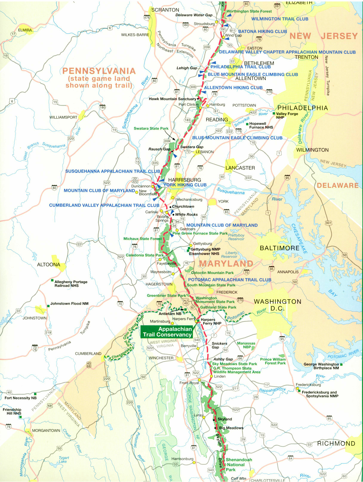
Appalachian Trail #1 (Potomac River to High Rocks)
Appalachian Trail Conservancy
799 West Washington Street
Harpers Ferry, WV 25425
(304) 535-6331

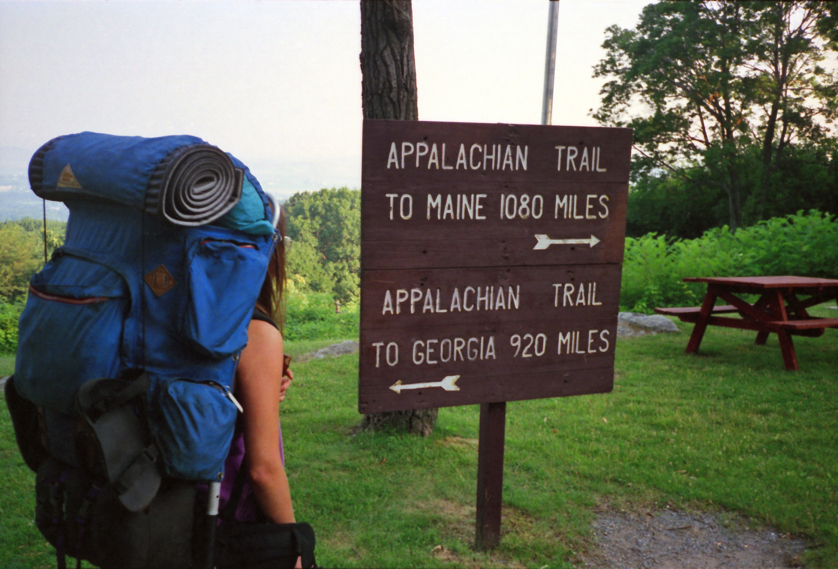
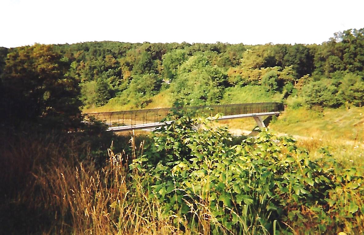
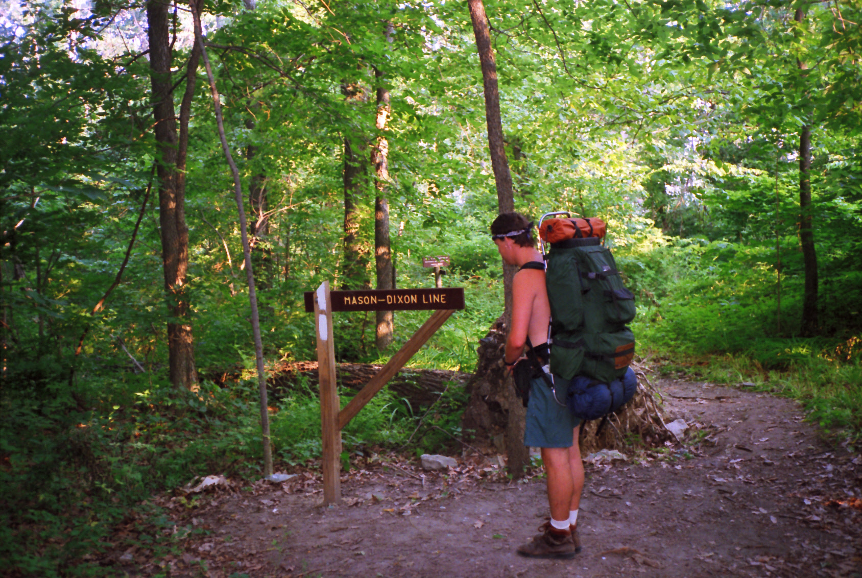
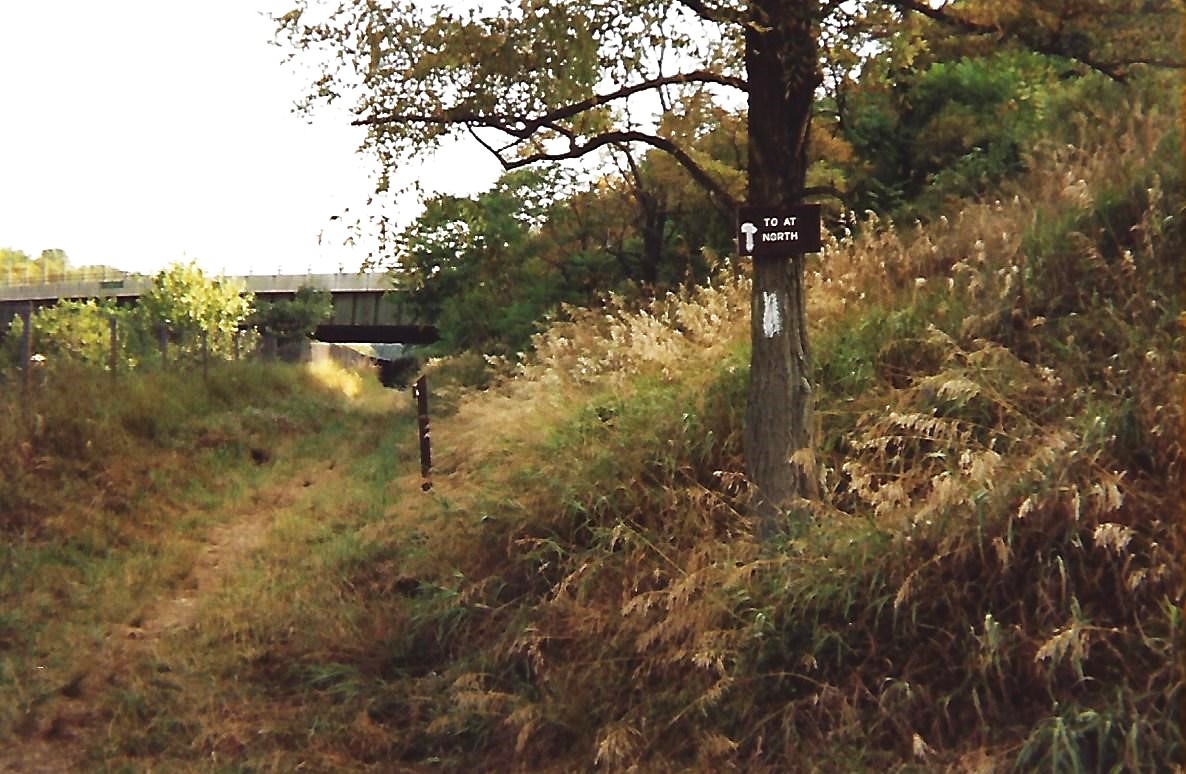
The Appalachian Trail crosses the Potomac River on a 600 foot long bridge and enters Maryland on the C&O Canal towpath. The C&O Canal began operations in the early 1930’s and it was used to by horses to pull barges up the river and transport goods from Georgetown in Washington, D.C. to Harpers Ferry (which was at the edge of the frontier at the time). Weverton Cliffs sit above the C&O towpath and has excellent views down to the Potomac River. A plaque is set in stone on the cliffs for Congressman Goodloe E. Bryan who lived from 1928-1978 and was a great supporter of the A.T. Crampton Gap and the Gathland State Park are eight miles north of the cliffs, and it was the site of heavy fighting during the Civil War in 1862. Maryland has more Civil War history than any other state on the A.T., and a stone memorial was erected here to honor newspaper correspondents from the war.
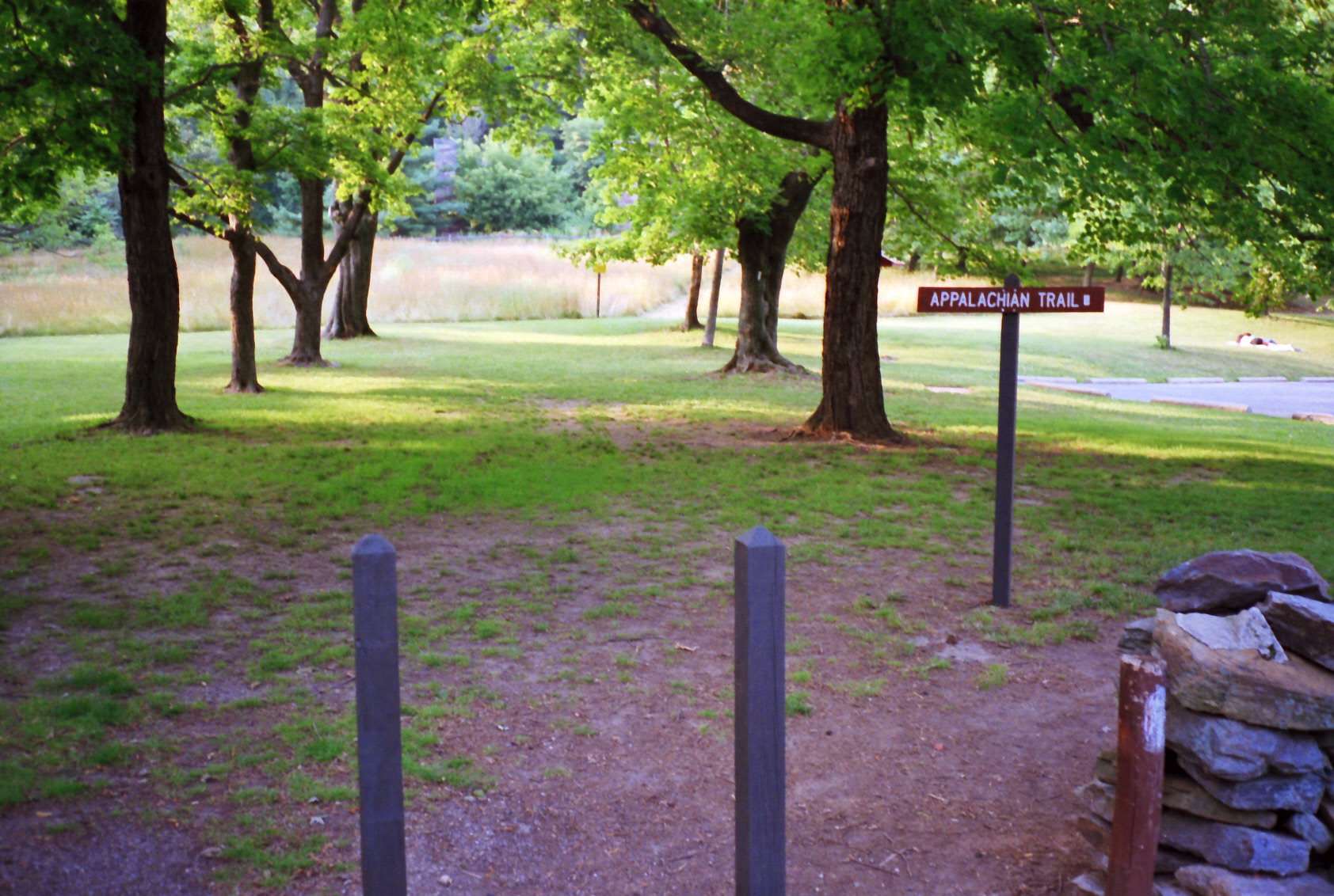
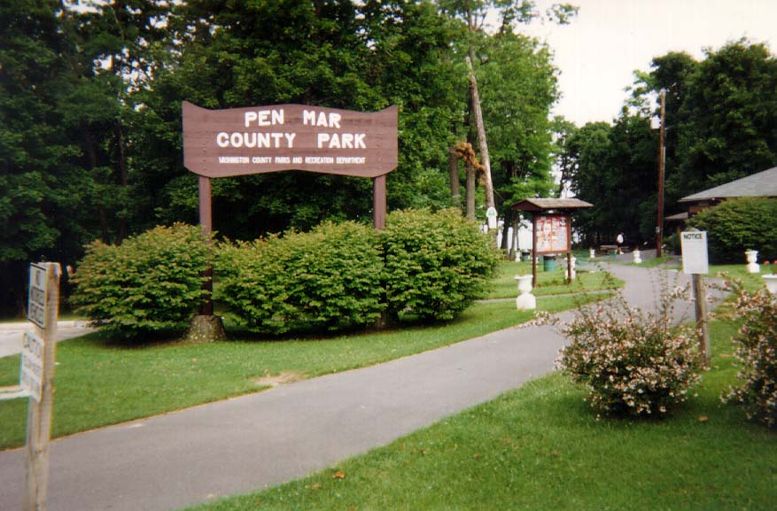
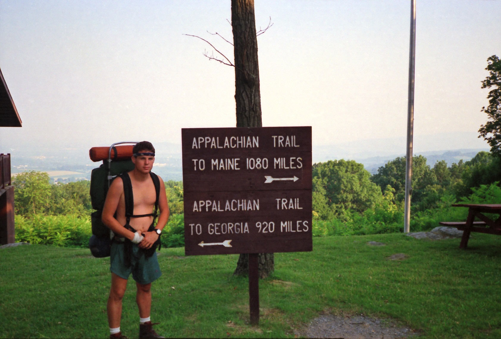
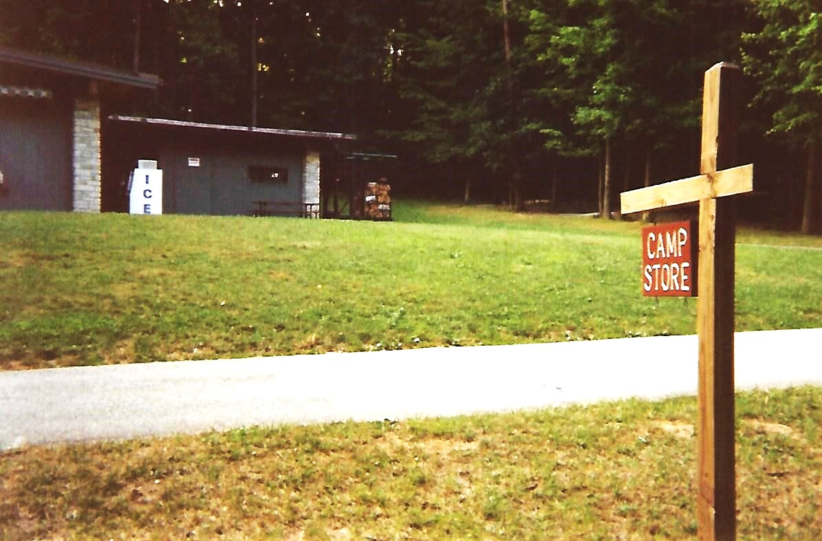
The Appalachian Trail continues past the small town of Boonsboro and onto the Washington Monument State Park which has picnic tables, restrooms, and a public telephone. The park site surrounds the first Washington Monument that was built in 1827 by the people of Boonsboro. From here, the A.T. crosses Interstate 70 on a small footbridge then ascends a ridge to the Annapolis Rocks, a cliff with excellent views to Greenbrier Lake to the west. High Rock, near Pen Mar State Park, is another site with spectacular views in the area and it is only a short distance from the Maryland and Pennsylvania Border.
- click for a video slideshow of my 1994 hike on the A.T. (short film produced 2019 ~ 5 min)
- click for more photos from this backpacking trip along the Appalachian Trail: July 9-12, 1994
- click for a Daytimer report for this hike on the Pineland Trail: July 4, 1994 (password required)
- click for a trail journal from this hike in Maryland: July 9-12, 1994 (password required)
- click for a map of the A.T. from West Virginia to Pennsylvania (password required)
- click for an Appalachian Trail map of this section near the Pine Knob Shelter
- click for a topo and profile map of this section of the A.T. in Maryland (password required)
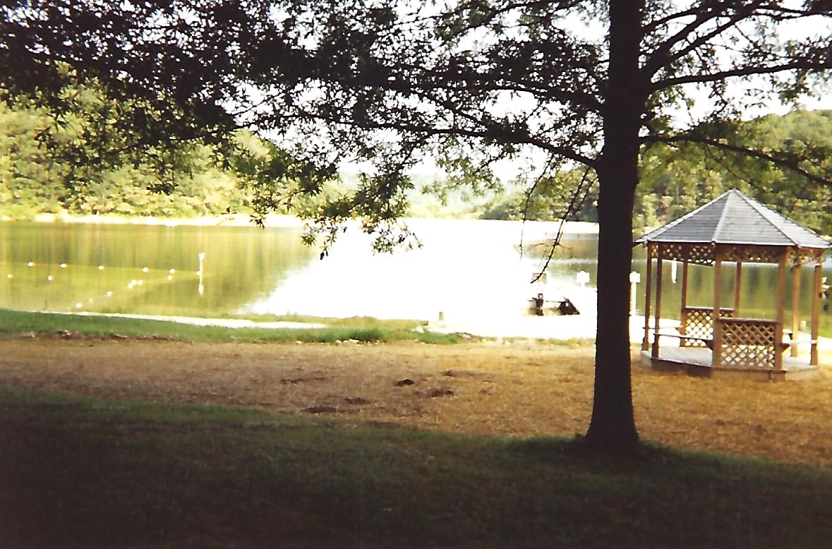
- click for a park and trail map of the nearby Greenbrier State Park
- click for a movie with commentary on BirdShooter’s 1994 A.T. thru-hike (long film produced 1996 ~39 min)
- click for some of my favorite photos from the Appalachian Trail
- click for a day-by-day summary of BirdShooter’s 1994 Appalachian Trail thru-hike
- click for a map of the entire Appalachian Trail
- click for a summary of the 2000+ mile Appalachian Trail


I wanted to read about the spooky Maryland camping night-
LOL, I am actually working on an e-book of short stories, and the night in Maryland will definitely make it in there! Might need another year to get it done though.