Poverty Point State Historic Site
Poverty Point State Historic Site
6859 Highway 577
Pioneer, Louisiana 71266
318-926-5492

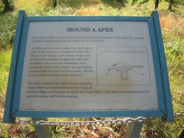
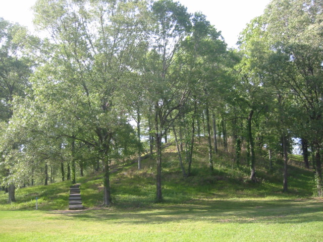
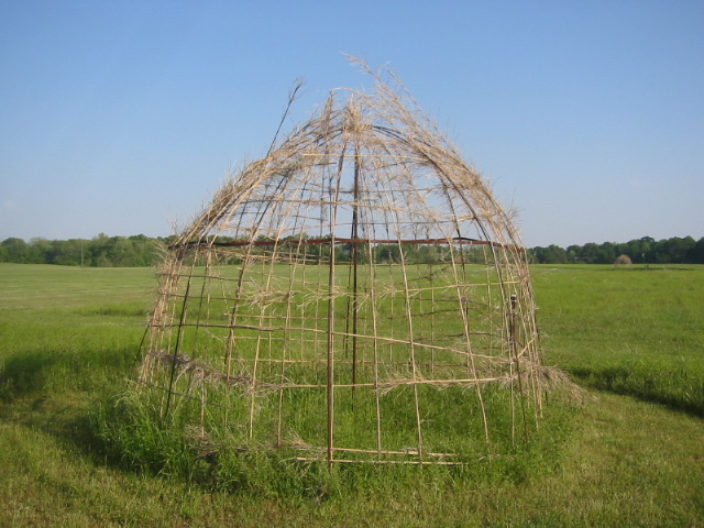
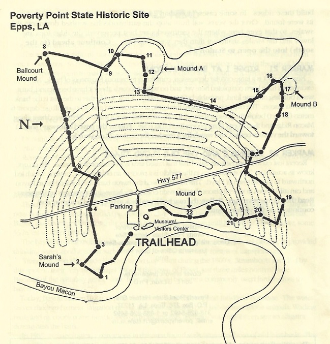
Poverty Point State Historic Site, located near Pioneer in northeastern Louisiana, is one of North America’s most significant archaeological treasures. Built between 1700 and 1100 BCE by a society of hunter-fisher-gatherers, this UNESCO World Heritage Site showcases the remarkable ingenuity of its creators. The site features a complex arrangement of massive earthen structures, including six concentric C-shaped ridges and five mounds. The largest, Mound A, stands 72 feet tall and was constructed rapidly – likely in less than three months using approximately 8.4 million cubic feet of soil. Artifacts discovered at the site, such as tools and ornaments made from materials like copper, jasper, and soapstone, indicate a vast trade network extending up to 800 miles. These materials were transported via the Mississippi River system, highlighting the site’s role as a major trading hub
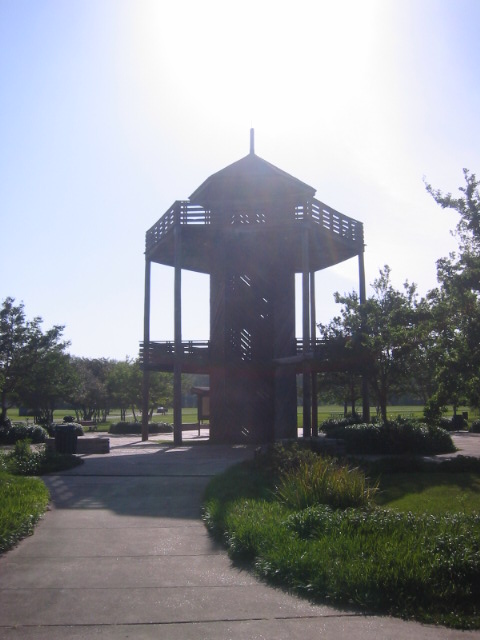
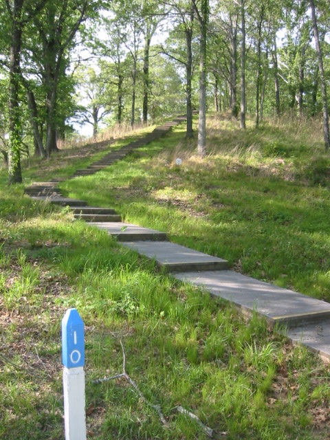
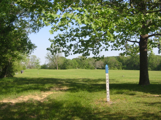
This loop hike circles the earthworks of Poverty Pointe State Park and includes a modearate climb up Mound A, which is the highest point in the park. The site features ancient Native American earthworks which date back to 12 centuries before the birth of Christ. The park museum has an audio-visual presentation and numerous artifacts found on the site. An archaeological laboratory, picnic areas, an observation tower, restrooms are also located on the property.
- click for more photos from this hike at the Poverty Point State Historic Site: April 18, 2006
- click for a trip report of this hike on the Poverty Point: April 18, 2006
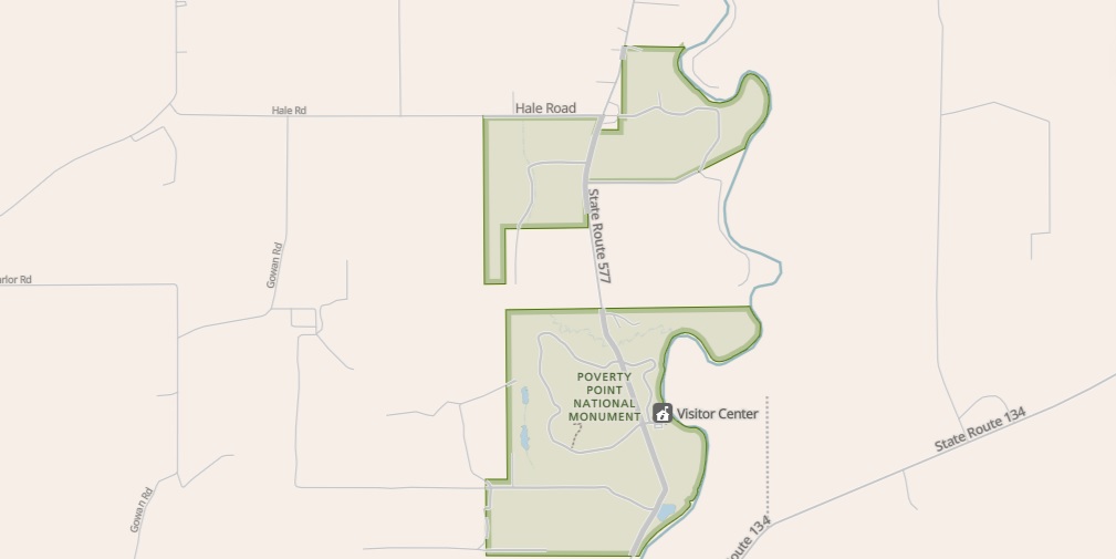
- click for a park map of this hike near Pioneer, Louisiana
- click for a satellite map of Poverty Point Historic Site
- click for a trail map of this hike at Poverty Point
- click for a hike at the Ignatius House a few days earlier
- click for a backpacking trip at Kings Mountain National Park a few days later
- click for more hikes in the State of Louisiana