357 Loop Trail
Wyandotte County Park
126th Street & State Avenue
Bonner Springs, KS 66012
(913) 573-8327
Wyandotte County Park is located west of Kansas City and is situated around a 400-acre lake that bears the same name. The park has 1,500 acres of wooded area, a kids’ fishing pond, a large playground, boat rentals, concessions, a bridle trail, an off-leash dog area, archery range, picnic shelters, and F.L. Schlagle Library and Environmental Center. The park features paved and natural trails suitable for walking, running, and biking. The flat terrain makes it accessible for visitors of all fitness levels.
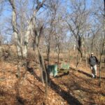
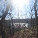
Wyandotte County Park also has numerous hiking trails – most situated around Wyandotte County Lake. On our hike we followed the 375 Loop for 1.8 miles which winds along a ridge and down by the south side of the lake. It is a hike that winds mostly through a wooden forest and intersects with some picnic shelters at the ridgeline. Most park facilities are free to use, though certain amenities like shelter rentals and the golf course may have associated fees.
- click for a photo journal from this trip as we close in on 50 hikes in 50 States in 50 years
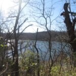
- click to see photos from this hike around Wyandotte County Lake: November 21, 2015
- click for a trip report from this walk on the 357 Loop Trail: November 21, 2015 (password required)
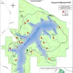
- click to view a park map of this hike at Wyandotte County Park
- click for a topographical and profile map of the 357 Loop Trail (password required)
- click for another hike we did this weekend at Waubonsie State Park in Iowa
- click for a hike we did this weekend at Indian Cave State Park in Nebraska
- click for links to some outdoor books and magazines


