Watson Gap Loop
Chattahoochee-Oconee National Forests
1755 Cleveland Highway
Gainesville, GA 30501
770 297-3000
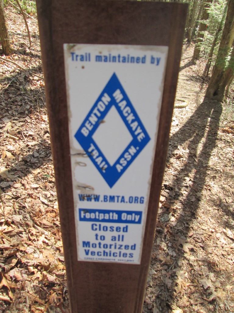
The Benton MacKaye Trail (BMT) is a footpath of nearly 300 miles that traverses the Appalachian mountains of the southeastern United States. It is named in honor of Benton MacKaye who was a forester, planner and conservationist whose vision resulted in the creation of the Appalachian Trail in the early 1900’s. The BMT is designed for foot travel in the tradition of the Appalachian Trail (A.T.) and runs from Springer Mountain in Georgia to Davenport Gap on the northern edge of the Great Smoky Mountains National Park. The Benton MacKaye Trail passes through some of the most remote backcountry in Georgia, Tennessee and North Carolina, including eight federally designated Wilderness and Wilderness Study Areas.
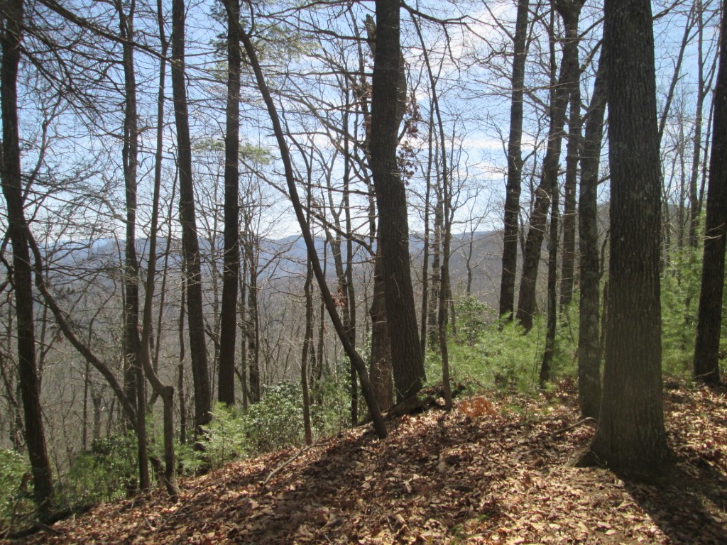
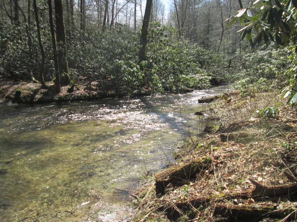
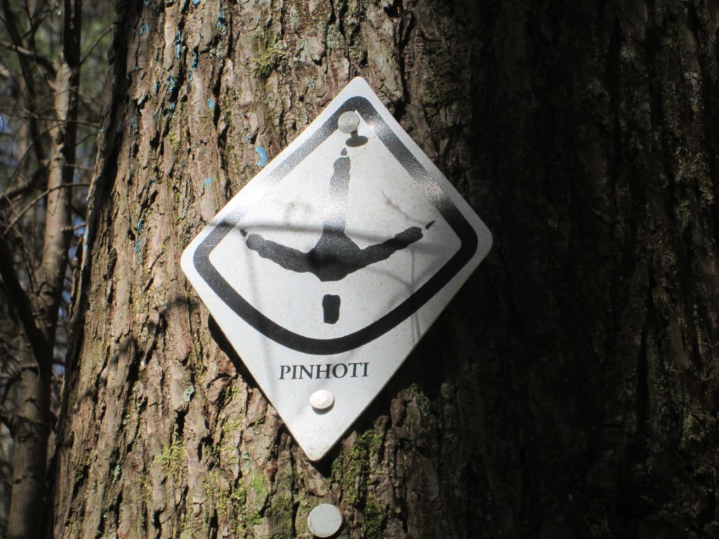
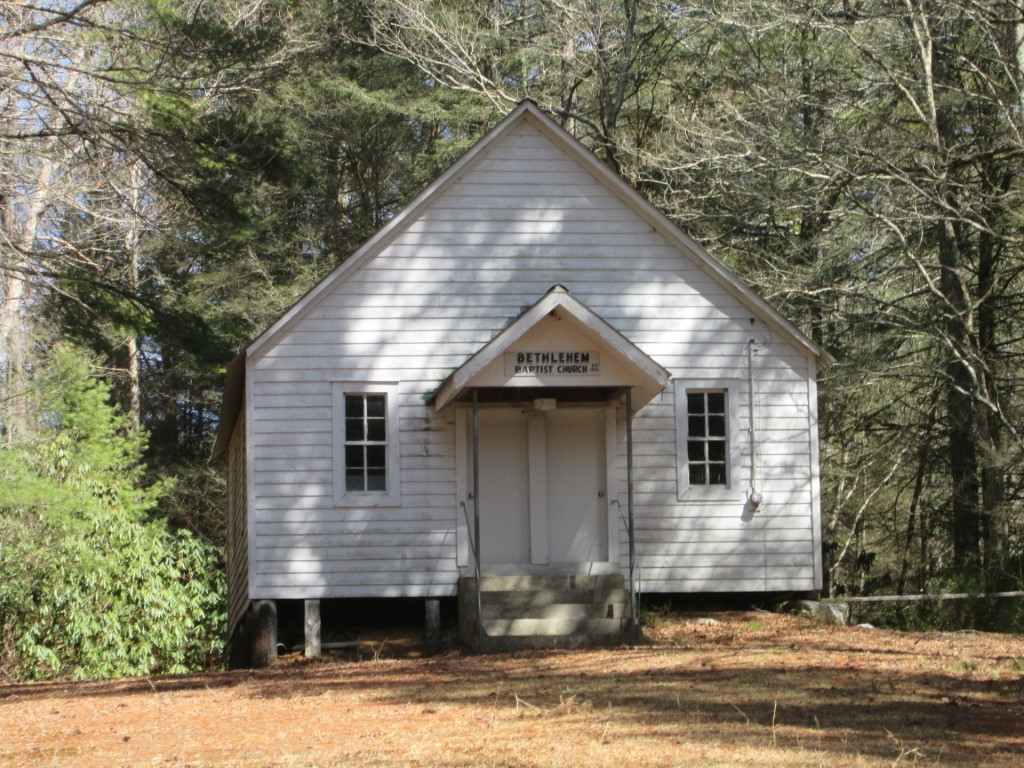
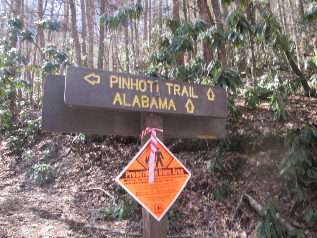
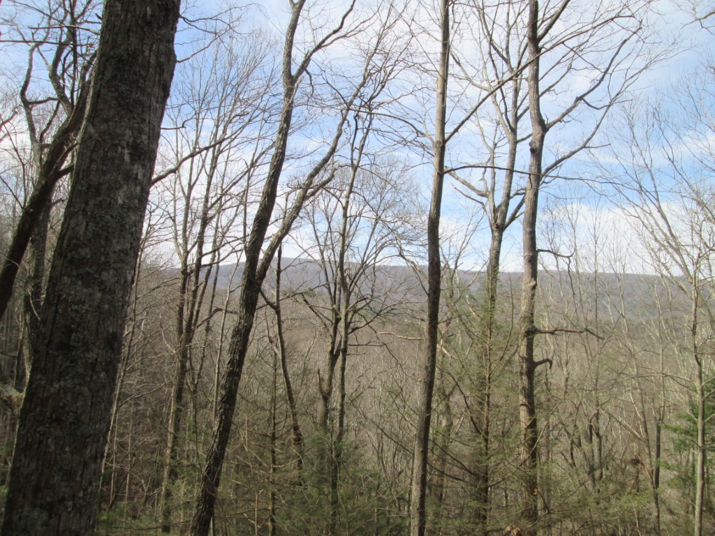
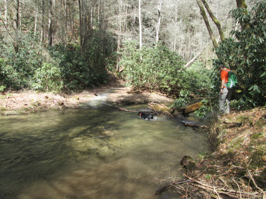
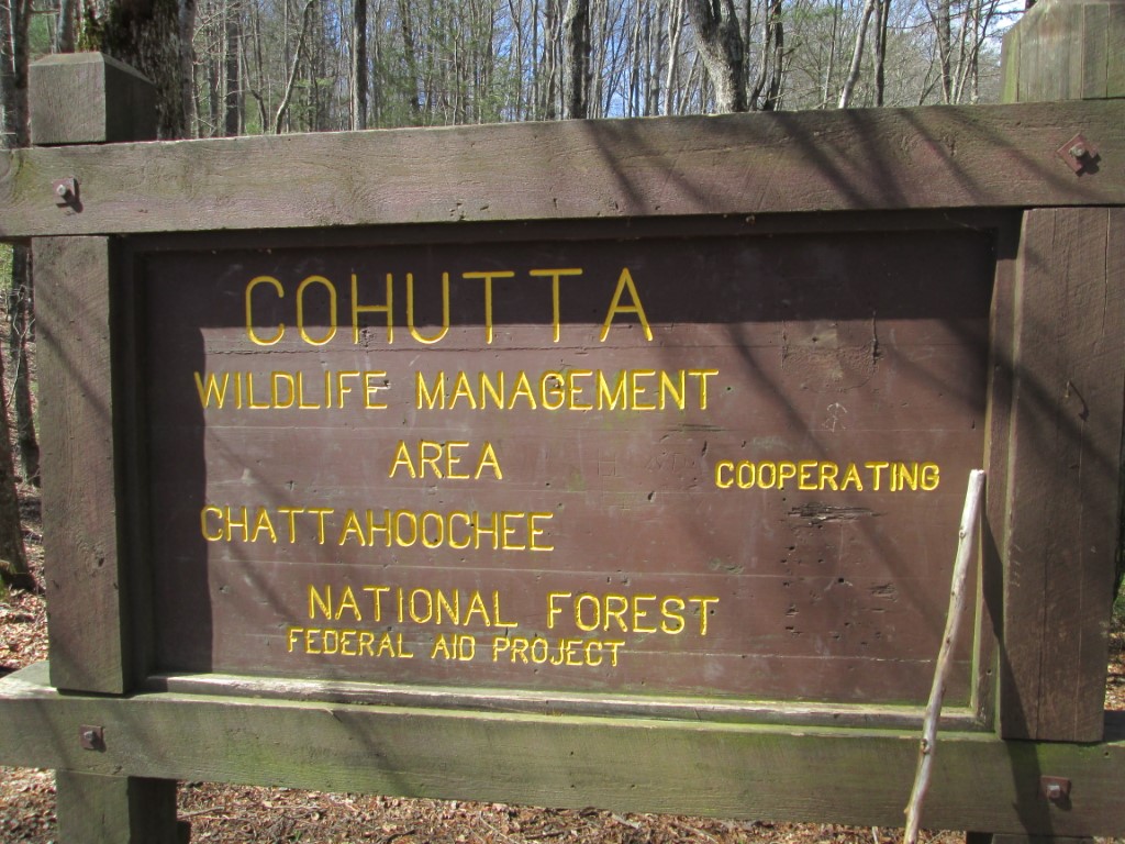
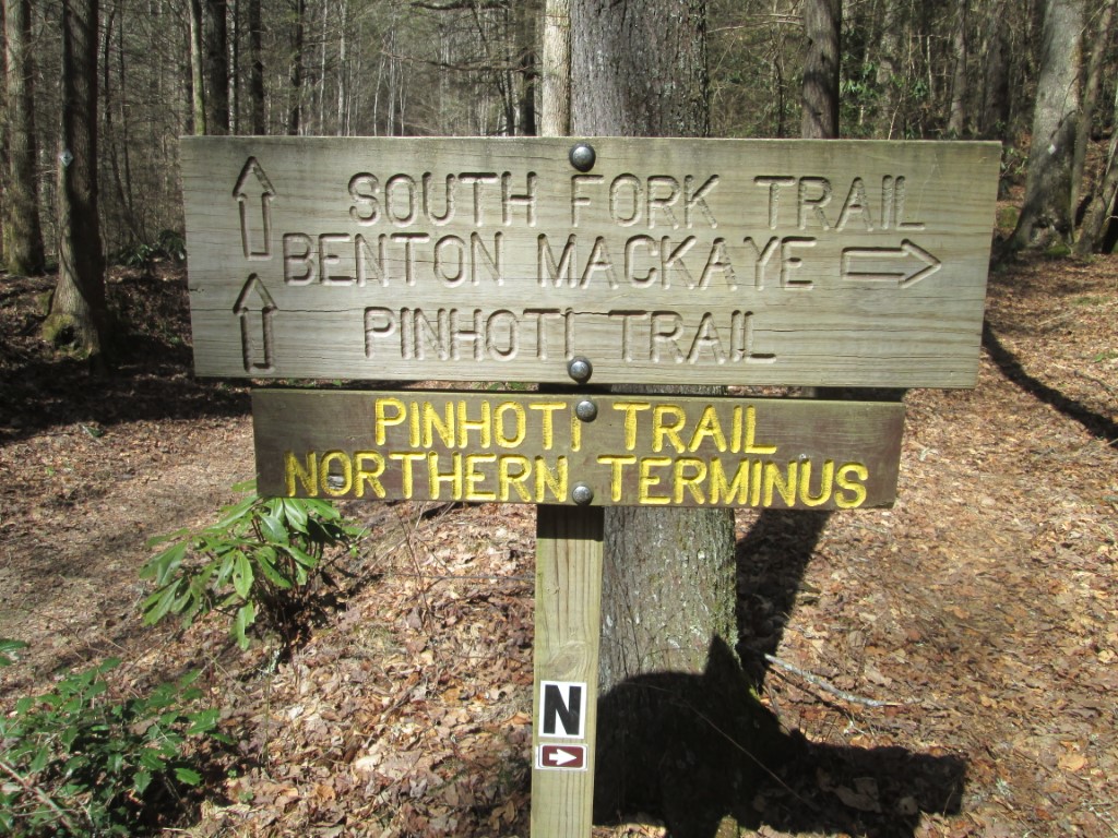
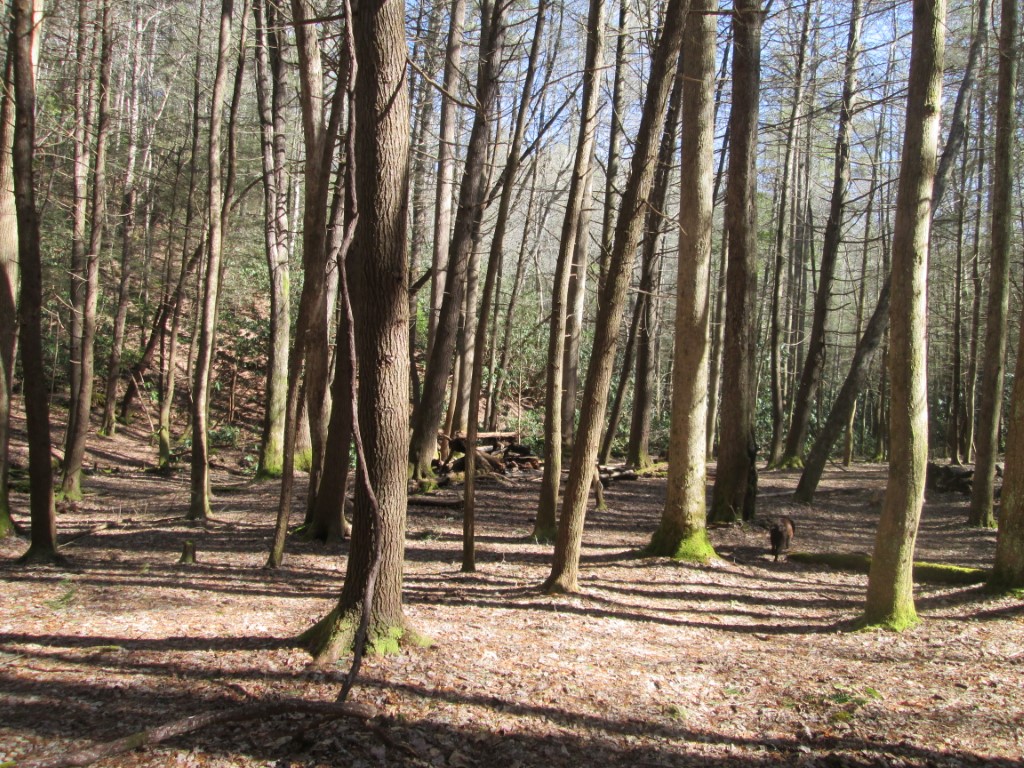
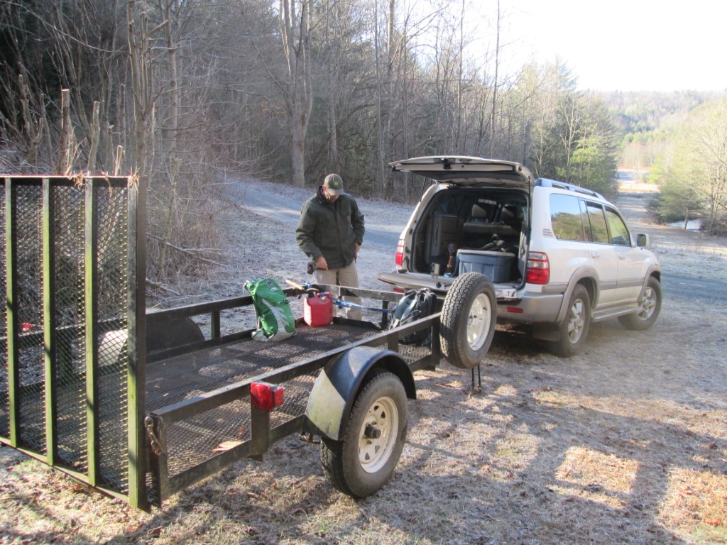
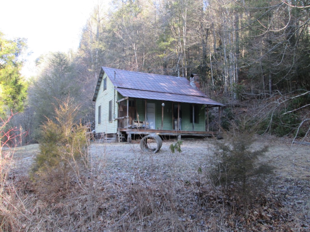
This loop hike starts near Watson Gap in the Cohutta Wilderness and makes a challenging 9.7 mile loop using a combination of the Benton MacKaye Trail, Pinhotti Trail, and South Fork Trail which follows along the Jacks River. The route also combines some old forest roads to complete the loop. There is history on this hike as you pass the Jones Settlement which dates to the 1800’s and hike by the site of the Lower Jack River Schoolhouse. The building has been taken by the wilderness, but there is a plaque honoring the school which was in operation from 1926 to 1951. GPS or good route finding skills are helpful to complete this loop and it is not recommended during the summer months – although there are some nice streams on the route where you can cool off.
- click for a movie of our day hike on the Benton MacKaye and Pinhotti Trails
- click for a trip report from this day hike at Watson Gap: November 25, 2011 (password required)
- click for a Trails Illustrated map of this area in the Chattahoochee National Forest
- click for a map of the entire Benton MacKaye Trail (password required)
- click for another map of the entire Benton MacKaye Trail (password required)
- click for a trail descriptions of section 9 on the Benton MacKaye Trail (password required)
- click for a topographical and profile map of section 9 of the BMT (password required)
- click for a topographical and trail map of the Watson Gap Loop (password required)
- click for more information on the Benton MacKaye Trail
- click for Benton MacKaye Trail hiking and backpacking books