Strom Thurmond Lake
U.S. Army Corps of Engineers, Savannah District
100 W. Oglethorpe Ave
Savannah, GA 31401
800-448-2402

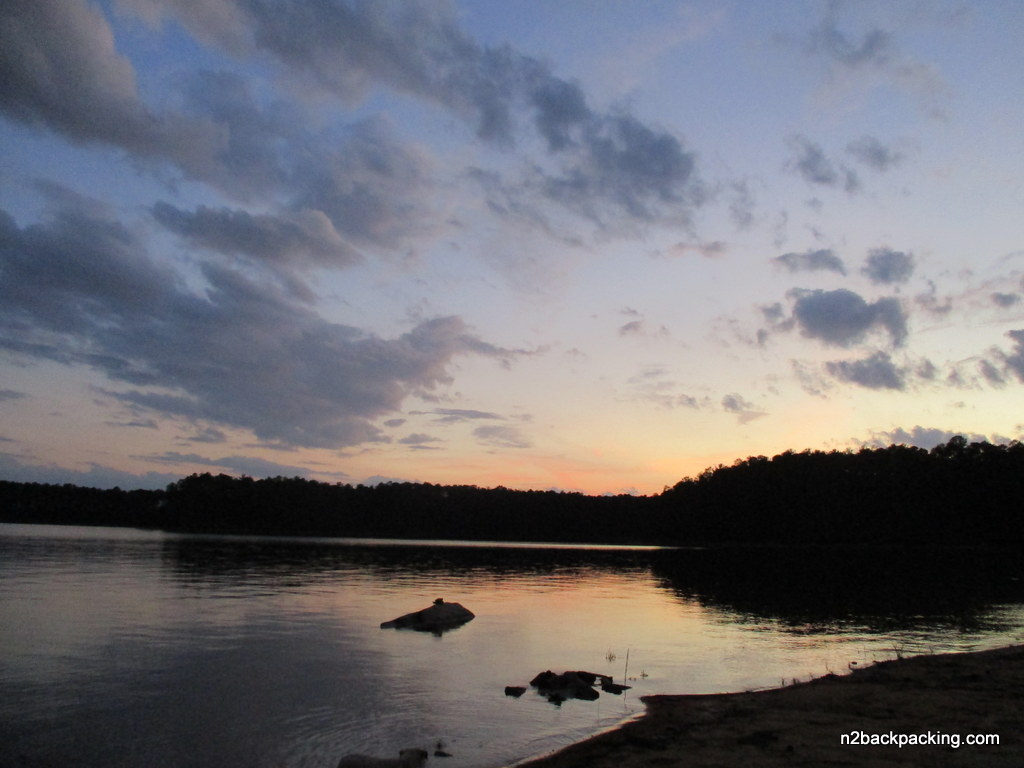
Strom Thurmond Lake, also known as Clarks Hill Lake in Georgia, is a massive 71,100-acre reservoir on the Savannah River bordering Georgia and South Carolina. Completed in 1954 by the U.S. Army Corps of Engineers, it serves as the largest Corps of Engineers lake east of the Mississippi River. The lake features 1,200 miles of shoreline and is a premier destination for boating, fishing, hiking, and camping – attracting over 4 million visitors annually. Originally built for hydropower and flood control, its name remains a point of regional debate; while the federal government renamed it in 1988 to honor Senator Strom Thurmond, Georgia officially recognizes it by its original name, Clarks Hill.
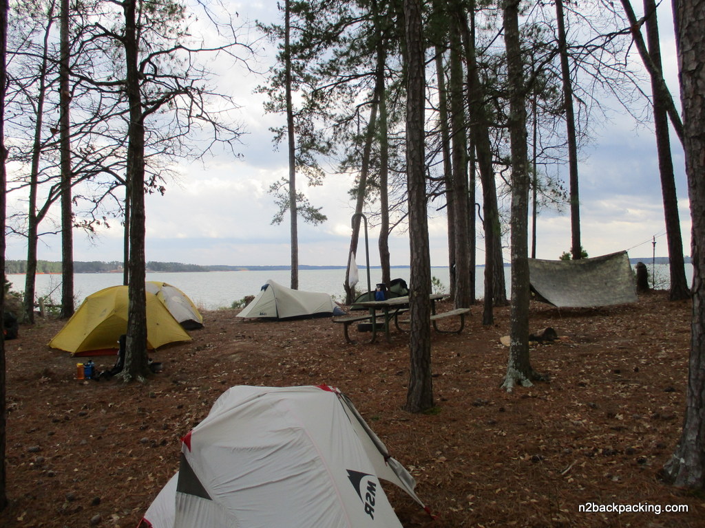
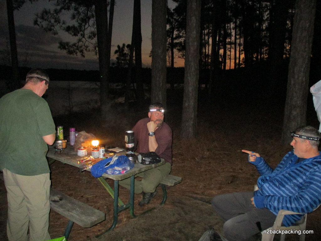
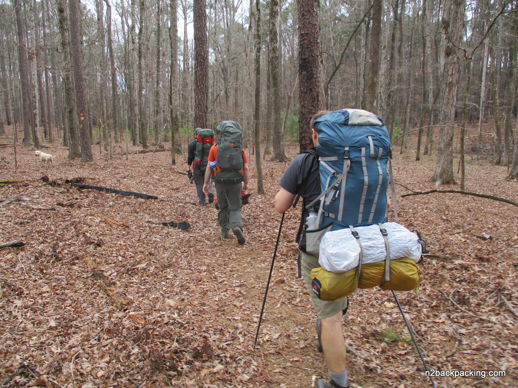
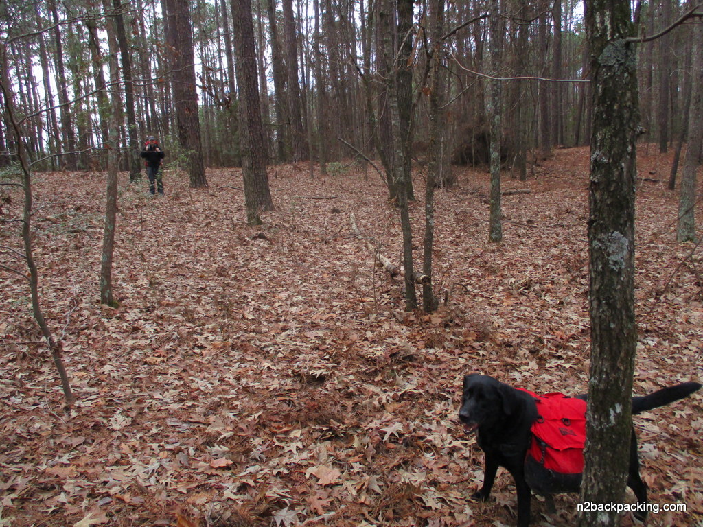
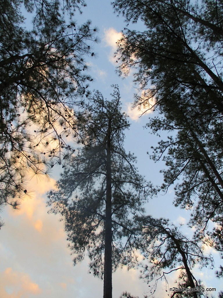
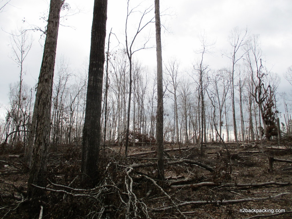
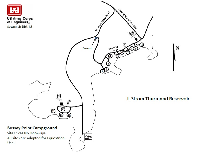
Bussey Point is a 2,545 acre peninsula at the confluence of the Savannah and Little River that is adjacent to Strom Thurmond Lake. It can be explored via the Bussey Point Horse Trail or by using a combination of horse trails and dirt roads that cut through the area. Hikers and mountain bikers are also permitted to use the trails but should yield to the horsemen. The Bussey Point Horse Trail is a 12.4 mile route that circles the peninsula and has occasional views of the lake. It starts at the Day Use Parking area in Bussey Point Campground and has occasional views of the lake. Currently there are 10 primitive campsites near the trail entrance available for $6 a night on a first come first serve basis, but the backcountry area is closed to hikers and others during annual management hunts.
- click for a video of the lake, an ode to Mahan, and for one last look of our campsite
- click for more photos from hiking the Bussey Point Horse Trail: February 17, 2018 (password required)
- click for a trip report from our hike to Strom Thurmond Lake: February 17, 2018 (password required)
- click for a trail map from this backpacking trip to Bussey Point (password required)
- click for a park map of Bussey Campground at Strom Thurmond Lake
- click for a list of all our Klondike hikes that date back to the late 90’s (password required)
- click for the guidebook Hiking Trails North Georgia for more hikes in this area
- click for more hiking and backpacking books from Georgia