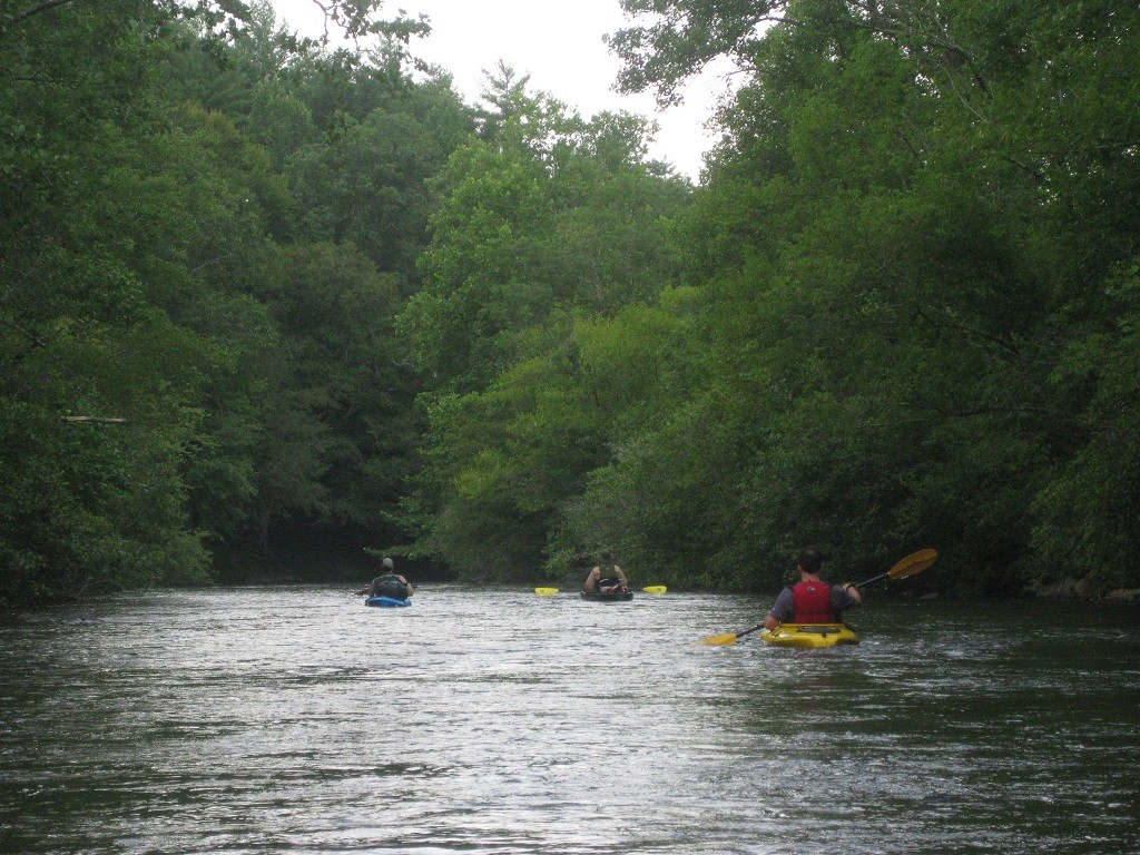
Toccoa River – Deep Hole to Sandy Bottoms
Chattahoochee-Oconee National Forests
1755 Cleveland Highway
Gainesville, GA 30501
770 297-3000
The Toccoa River flows northwestward through the Georgia mountains and becomes the Ocoee River when it reaches the Tennessee border near McCaysville, GA. The Georgia portion of the river runs for 56 miles through both public and private land and is damned near the town of Blue Ridge, GA.
This section of the Toccoa River from Deep Hole Campground to Sandy Bottoms is located south of Blue Ridge, GA and is best with water running at 350 cubic feet per second or greater. There are Class II rapids on this route with the potential for a Class III near the Benton MacKaye Trail suspension bridge about halfway down the 13.7 mile section.
The Chattahooche National Forest runs from mile 3.4 to mile 6.6 and this area has the best overnight camping opportunities on the route – especially around the suspension bridge. Don’t be surprised to see some tubers on the river, but they are mostly active in the last few miles of this section and we had the majority of the river to ourselves – even on a hot summer weekend.
- click to see videos from this overnight paddling trip on the Toccoa River: July 14, 2012 – Benton MacKaye Trail Suspension Bridge Over The Toccoa River, Pratt Kayaks Under The Toccoa River Suspension Bridge, Snyder Kayaks Under The Toccoa River Suspension Bridge, Toccoa Campfire (password required), The Rain Cometh
- click to read a photo journal from this kayaking trip through the Chattahoochee National Forest: July 14, 2012
- click to see photos of this section from Deep Hole to Sandy Bottoms: July 14, 2012
- click to view a trip report from our weekend on the Toocoa: July 14, 2012 (password required)
- click to view the guidebook details for this section near Suches, Georgia: July 14, 2012 (password required)
- click to view the water flow speeds for our weekend on the Toccoa: July 14, 2012
- click to view a map of this kayaking trip down the Toccoa River: July 14, 2012 (password required)
- click for more information on the Benton MacKaye Trail
- click for Benton MacKaye Trail hiking and backpacking books
- click here to add your hike, trip report, or feedback for this destination
