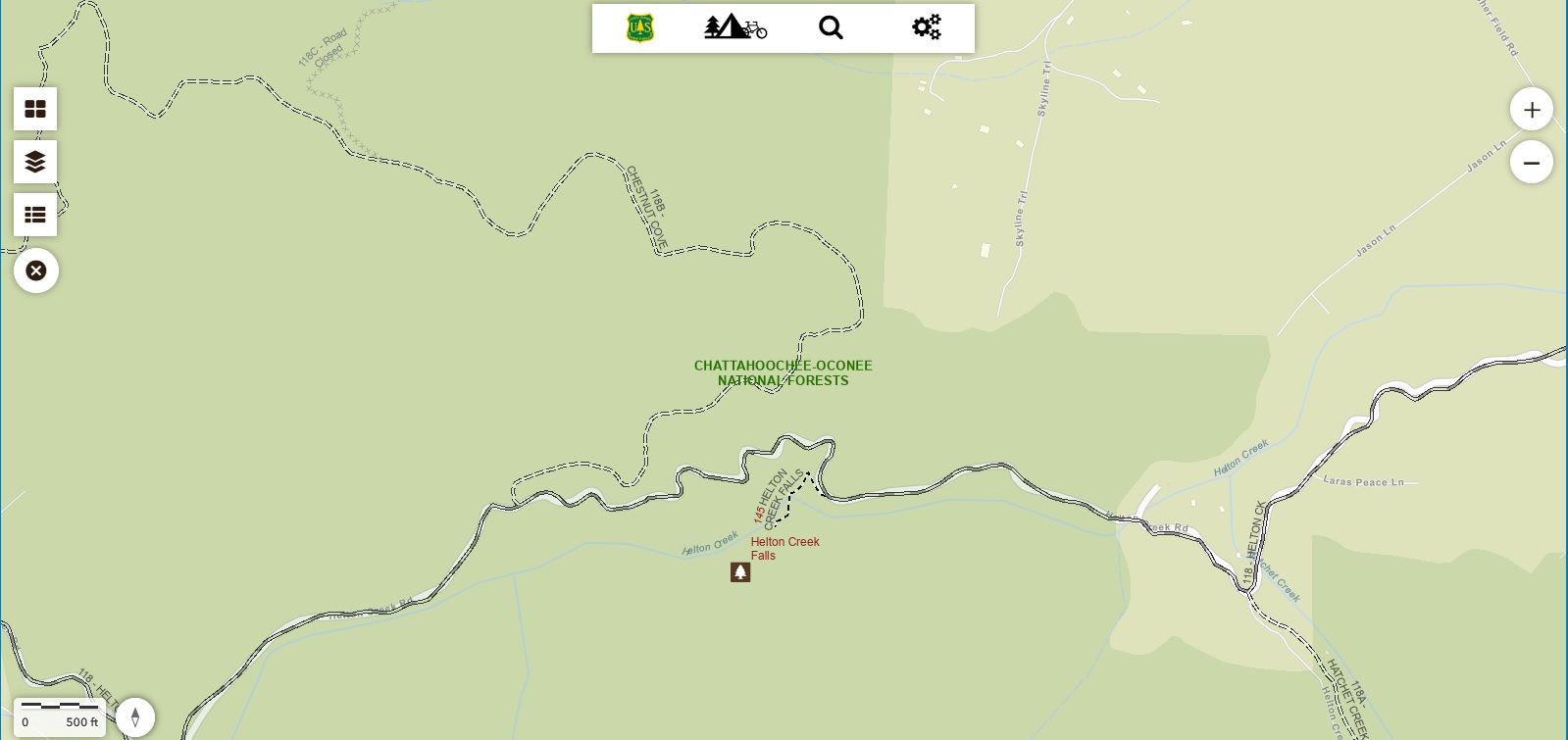
Helton Creek Falls
Chattahoochee-Oconee National Forests
1755 Cleveland Highway
Gainesville, GA 30501
770 297-3000
The Chattahoochee National Forest is one of two National Forests in the State of Georgia, and it takes its name from the Chattahoochee River whose headwaters begin in the North Georgia mountains. The River and the area were given the name by the English settlers who heard it from the Indians that once lived here. The Blood Mountain Wilderness area received its designation in 1991, and it is a sub-section of the Chattahoochee National Forest. The wilderness area is bordered to the northwest by Georgia Highway 60 and the Blue Ridge mountain range, and to the northeast by Georgia Highway 19/129 and Neels Gap. Major trails in this area include the Appalachian Trail, Freeman Trail, the Dockery Lake/Miller Gap Trail, the Coosa Backcountry Trail, the Duncan Ridge Trail, The Bare Hair Trail, and the Slaughter Creek Trail.
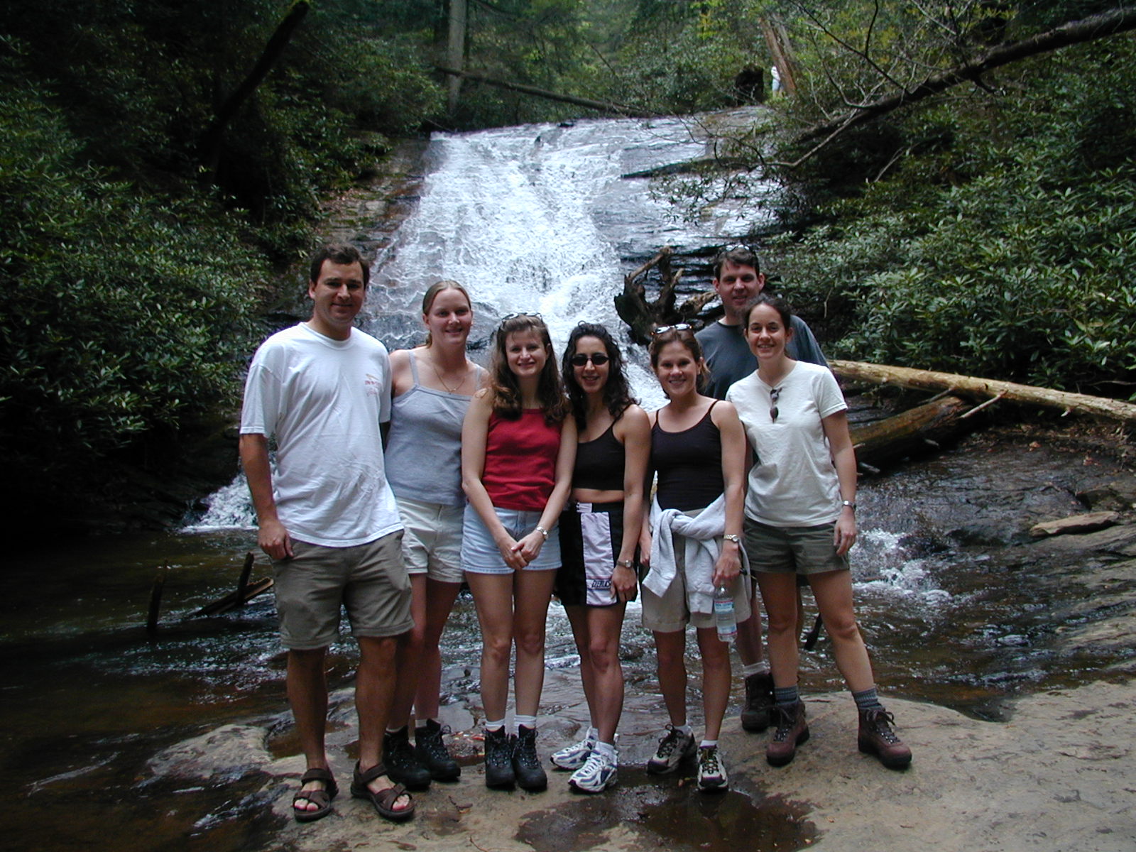
Helton Creek Falls is a picturesque double waterfall nestled in the Chattahoochee National Forest near Blairsville, Georgia. The lower falls can be accessed at both the bottom and top, while the trail ends at the base of the upper falls. It’s a favorite for families and nature lovers seeking a short, scenic hike with rewarding views. The trail is well-maintained, featuring staircases and wooden observation decks for safe viewing. While the hike is short, the path can be muddy after rain, and the rocks near the falls are slippery, so exercise caution .There are no restrooms or water facilities at the site. It’s advisable to bring your own water and snacks. The trail is open year-round and free to access.
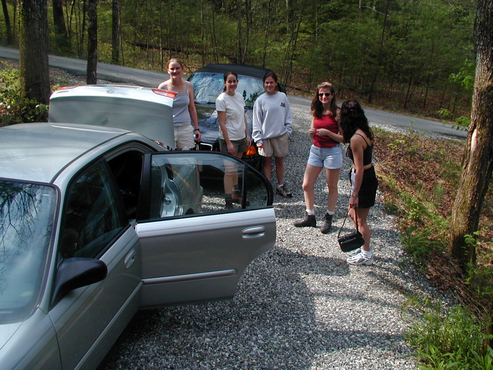
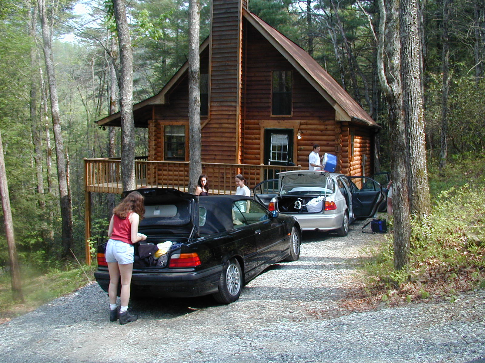
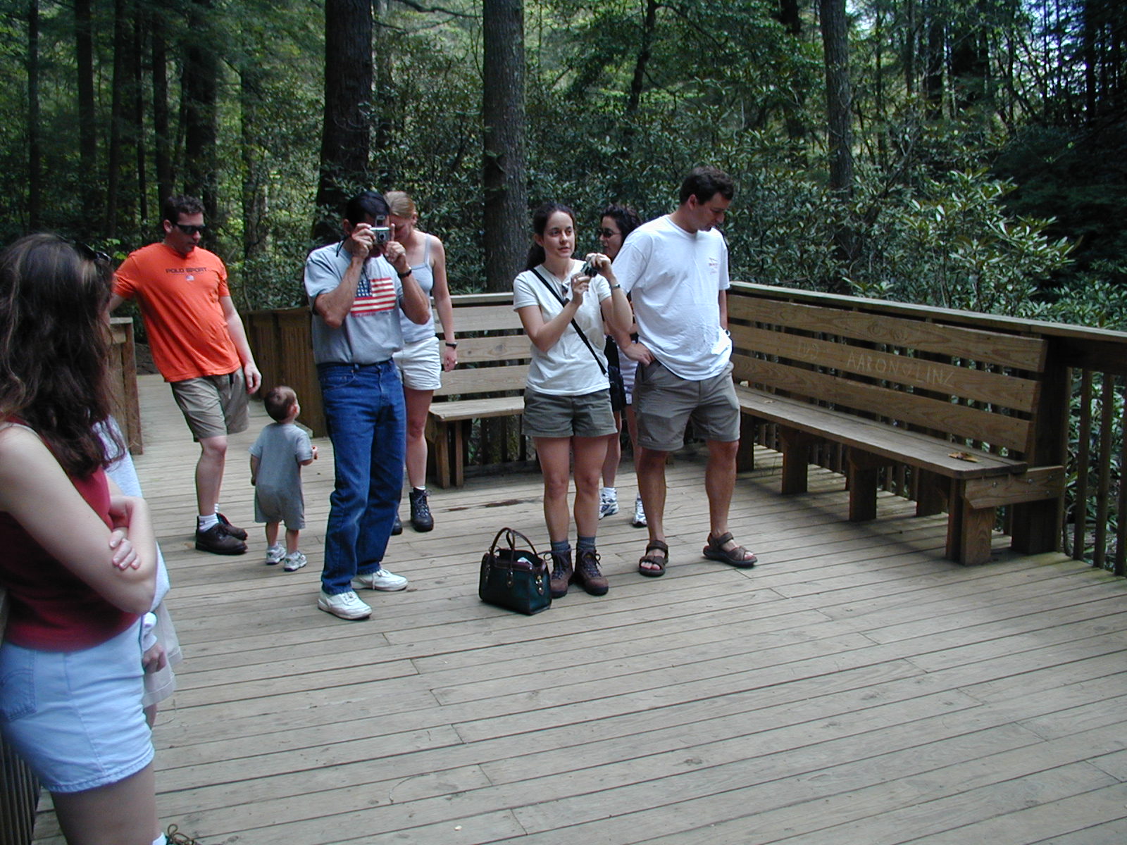
- click for a trip report from this hike in the Chattahoochee National Forest: April 21, 2002 (password required)
- click for a Trails Illustrated map of this area in the Chattahoochee National Forest
- click for a topographical and profile map of this hike to Helton Creek Falls (password required)
- click for a USFS map of this hike in the Chattahoochee National Forest
- click for a topographical map of trails in the nearby Vogel State Park
- click for hikes on the nearby Bear Hair Gap and Trahlyta Lake Trails in Vogel State Park
- click to access the guidebook Best Hikes With Dogs Georgia And South Carolina which has details on this destination
- click for other Georgia hiking and backpacking books