Five Falls
Chattahoochee National Forest
Chattooga River District
9975 Highway 441S
Lakemont, GA 30552
706 754-6221
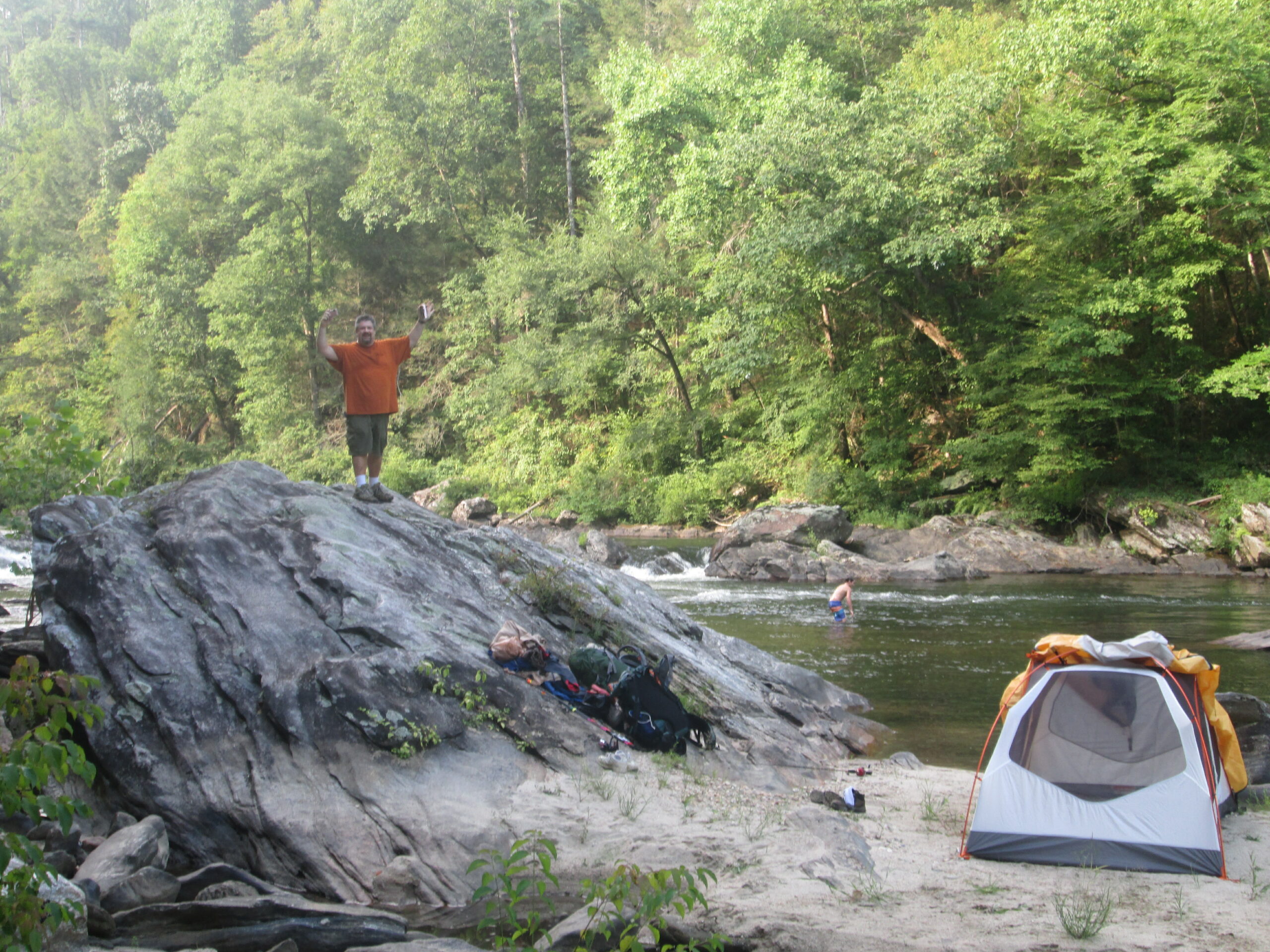
The Chattooga River begins in the mountains of North Carolina as small rivulets, nourished by springs and abundant rainfall, high on the slopes of the Appalachian Mountains. The water drops a half mile in elevation over fifty miles as it winds its way to Lake Tugaloo where the river ends between South Carolina and Georgia. The Chattooga is one of the few remaining free-flowing streams in the Southeast, and the setting is primitive with dense forests and undeveloped shorelines on most of its route.
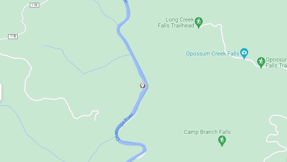
This hike approaches the Chattooga from the west side of the river and is not on the heavily traveled Chattooga River Trail (although there are links below if you want more information on it). The decent to the river is on an old road that drops gradually and quickly to the river. Once you reach the Chattooga you can hike north (up river) to a few campsites that are situated among the trees that line the river. This is an easy hike that can be done as either a day or overnight trip.
- click to see a video of Swimming With The Boone Dawg on the Chattooga River
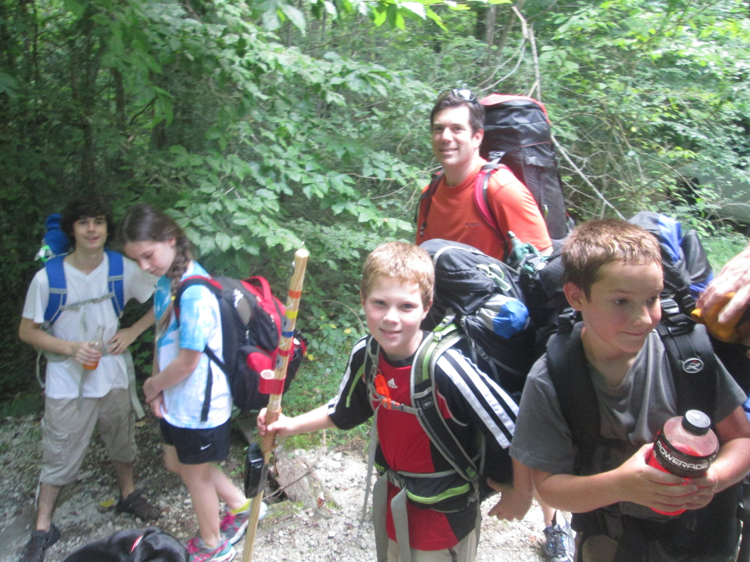
- click to see trail photos from this backpacking trip on the Chattooga: August 15, 2015 (password required)
- click to read a trip report of this hike above Five Falls: October 25, 2014 (password required)
- click for a topographical map of this section of the Chattooga River
- click for another hike above Five Falls in October 2014
- click for more information on the Chattooga River Trail
- click for Chattooga River Trail hiking and backpacking books
- click for The Chattooga National Wild And Scenic River guidebook which has hiking details on this destination
- click for other Georgia hiking and backpacking books
- click for other hikes on the Chattooga River Trail in Georgia