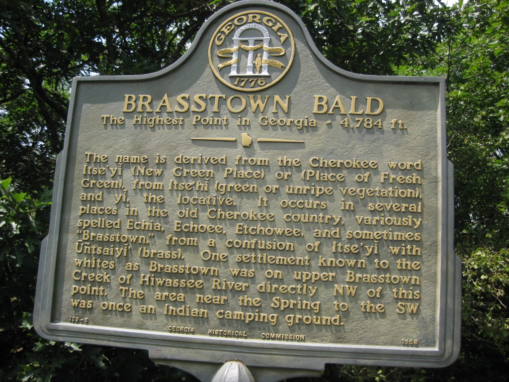
Brasstown Bald
Chattahoochee-Oconee National Forests
1755 Cleveland Highway
Gainesville, GA 30501
770 297-3000
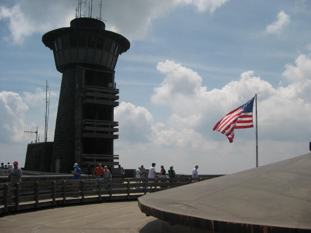
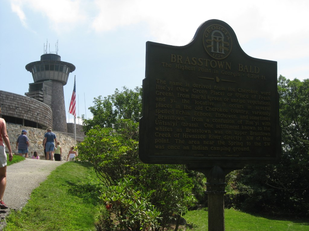
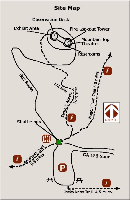
Brasstown Bald is the highest point in Georgia rising at 4,784 feet above sea level. On a clear day, you can see four states including Georgia, Tennessee, North Carolina, and South Carolina from the spectacular 360-degree views at the top of the mountain. On the summit, there is a museum, round overlook with pay view finders, and a theater which offers a short 15 minute presentation on the park. It’s a great place to spend a few hours whether you decide to climb the mountain or take the shuttle. The park is open daily from 10 a.m. to 5 p.m. and charges an admission fee that includes the shuttle from the parking area.
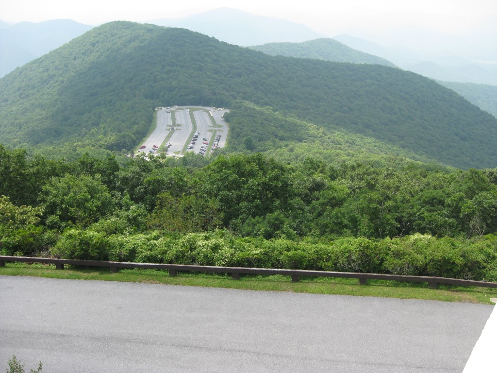
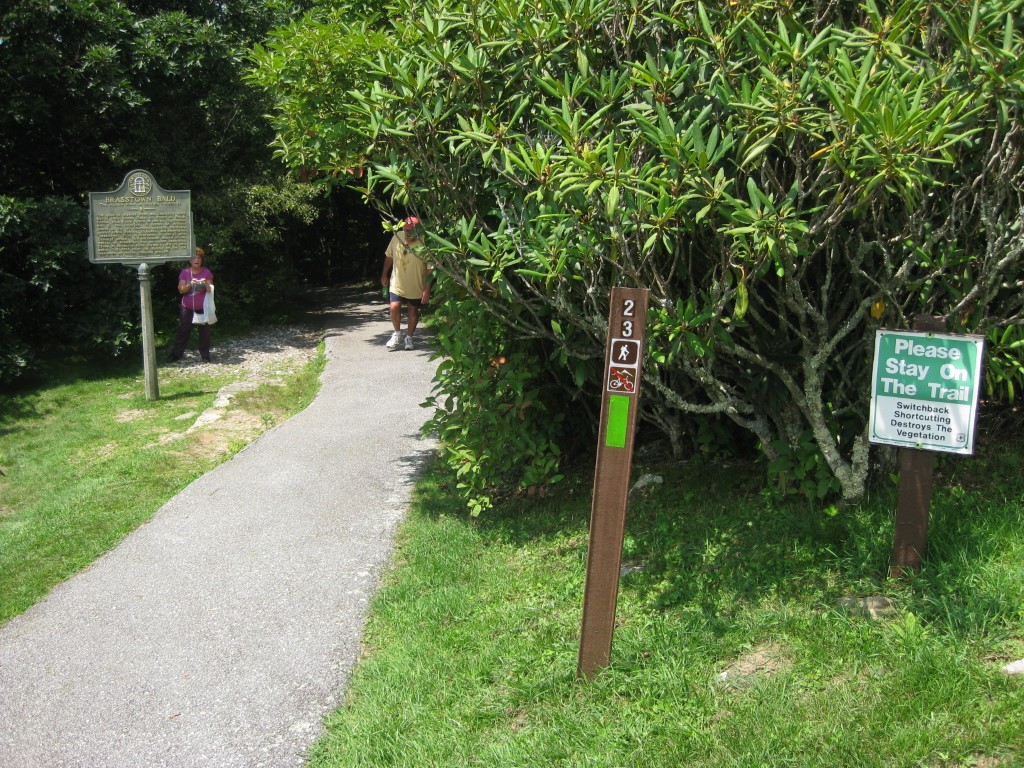
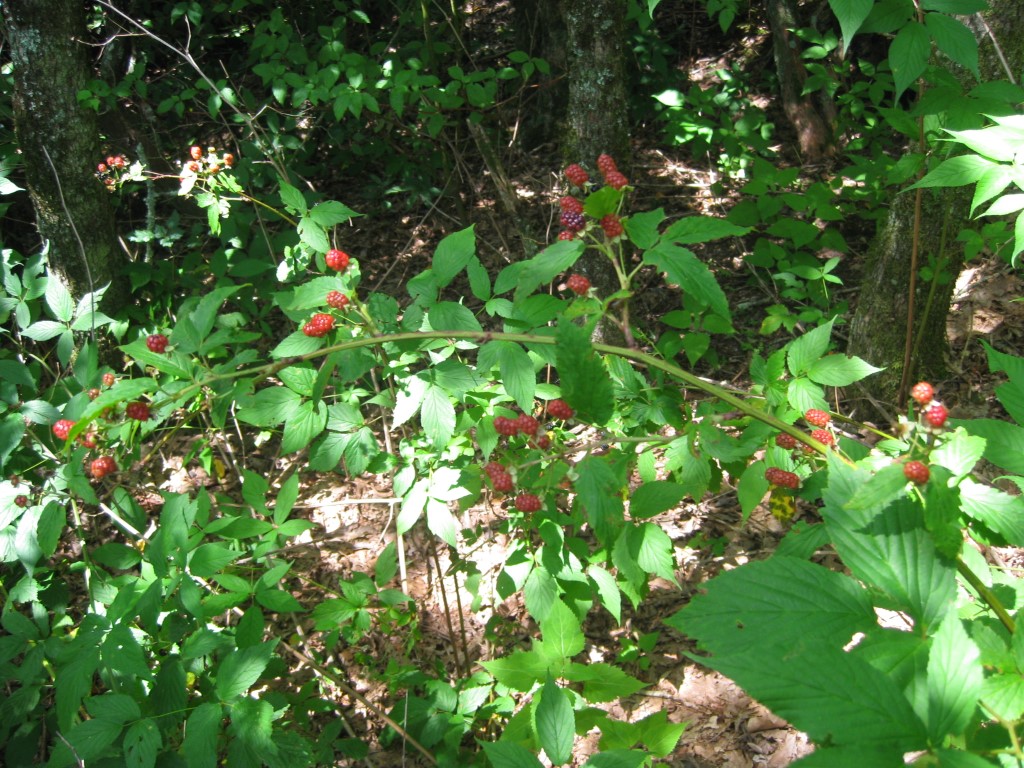
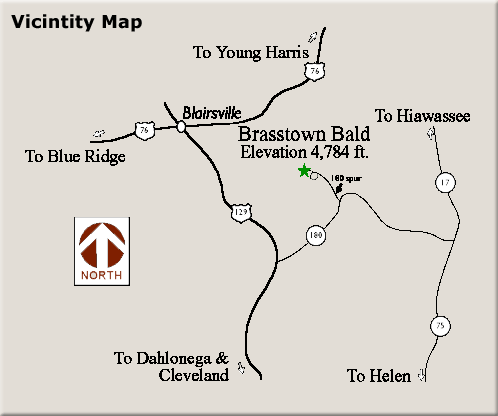
There are a few longer 4-5 mile trails in the park including the Jacks Knob Trail and Arkaquah Trail. There is also a 0.6 mi paved trail that climbs steeply with a ~12% grade from the parking lot to the viewing platform. This was the path we choose for our hike to Brasstown Bald and it is a short one to the summit which begins at the parking lot. It is suitable for all ages and least to the Visitor Information Center where there are outstanding views in all directions. This facility is operated by the National Forest service since Brasstown Bald is not a State Park. Access is by Georgia State Route 180 and Spur 180, which sometimes closes in winter due to steep and winding terrain.
- click for see more photos from this hike to Brasstown Bald: August 8, 2009
- click for a trip report from this hike to the highest point in Georgia: August 8, 2009 (password required)
- click for an area map of this hike in the Chattahoochee-Oconee National Forest
- click for a trail map of this hike to Brasstown Bald
- click for a hike to the nearby Yohan Mountain in September 2020
- click to access the guidebook Hiking Georgia which has more hikes in this area
- click for other Georgia hiking and backpacking books
- click for more hikes in the State of Georgia