Benton MacKaye/Duncan Ridge Trails (Toccoa River to GA 60)
Chattahoochee-Oconee National Forests
1755 Cleveland Highway
Gainesville, GA 30501
770 297-3000
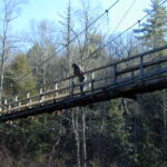
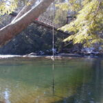
The Benton MacKaye Trail and the Duncan Ridge Trail share this in-and-out backtrack route between GA 60 and the Toccoa River and the highlight of this section is an impressive suspension bridge over the river. The Georgia Appalachian Trail Conference and the U.S. Forest Service constructed the 260’ bridge in 1977, and it offers an excellent view of the Toccoa River in both directions.
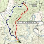
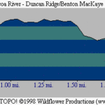
The trail begins near Tooni Gap located on GA 60 at 2,028 feet, and the path heads southbound over Tooni Mountain toward the river. In the first mile, the Benton MacKaye and Duncan Ridge Trails make an ascent of nearly 600 feet up Tooni Mountain (sometimes referred to as Toonowee Mountain on older maps). Tooni Mountain is actually a series of small knobs across a long ridgeline with elevations that range from 2,396 to 2,720 feet. The result is a bouncy ride for hikes and their dogs as they traverse these knobs before the Benton MacKaye and Duncan Ridge Trails make their final descent after 3.5 miles to the Toccoa River at 1,920 feet. At the water, the trail meets the first of several campsites and turns to the right toward the Toccoa River suspension bridge. The gravel Forest Road 816 can be used to save some time and effort on the return trip since it has very little elevation change as it winds back to Tooni Gap.
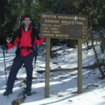
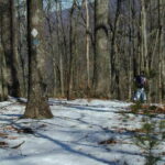
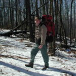
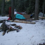
The Kidd and I hiked a 5.6 mile loop that combined the BMT and DMT with U.S. Forest Road 816. The route takes you up and over Toonowee Mountain (2,720 feet), down to the Toccoa River, and back along a valley (and USFS 816) to GA 60. We had lots of ice on our hike, especially on the northern slopes around Toonowee Mountain, and we were surprised to find two other groups camping out in the single digit weather. Nonetheless, we enjoyed the hike and were quite impressed with the engineering that went into the Toccoa River bridge.
- click to see trail photos from this hike to the Toccoa River: February 5, 2000
- click to view a detailed trip report for this backpacking trip on the Duncan Ridge Trail: February 5, 2000 (password required)
- click to purchase a Trails Illustrated map of this area in the Chattahoochee National Forest
- click to view a map of the entire Benton MacKaye Trail (password required)
- click for another map of the entire Benton MacKaye Trail (password required)
- click for a topographical and profile map of this hike on the Benton MacKaye Trail (password required)
- click to for a topographical and profile map of section two of the BMT (password required)
- click for a BMTA profile map of section one of the Benton MacKaye Trail (password required)
- click to view trail descriptions for section two of this hike on the Benton MacKaye Trail
- click to see more of our hiking and backpacking trips to the Toccoa River
- click to see a recap of our annual cold weather Klondike Hikes into the wilderness which began in the early 90’s
- click for more information on the Benton MacKaye Trail
- click for Benton MacKaye Trail hiking and backpacking books
- click to access the guidebook Best Hikes With Dogs Georgia And South Carolina which has details on this destination
- click for other Georgia hiking and backpacking books

