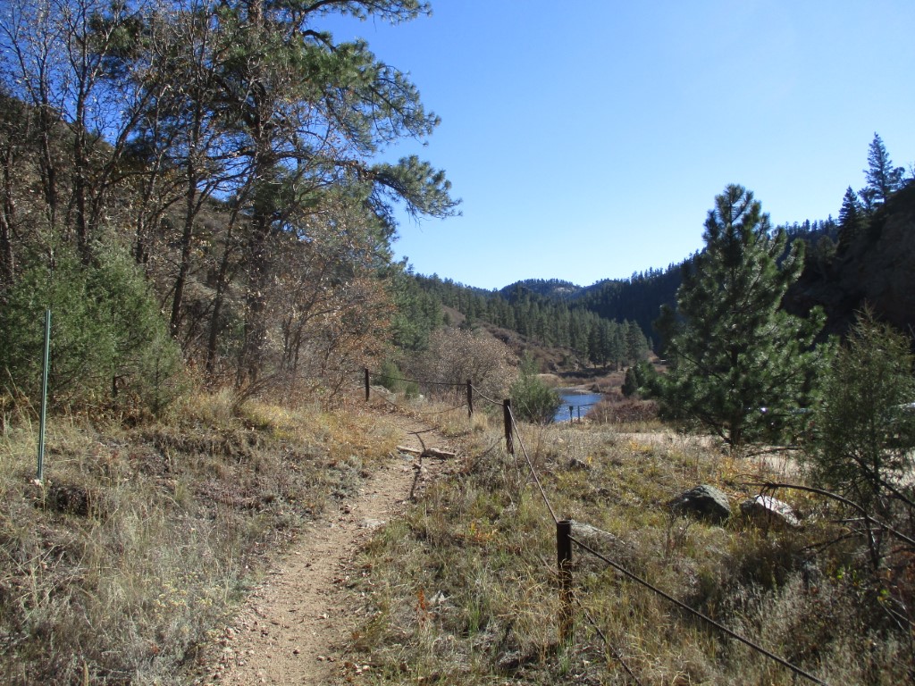
South Platte River
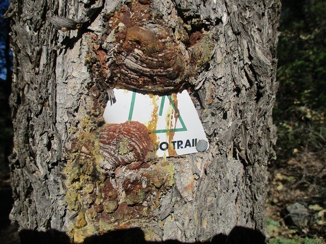
The Colorado Trail Foundation
710 10th Street, #210
Golden, CO 80401-5843
(303) 384-3729

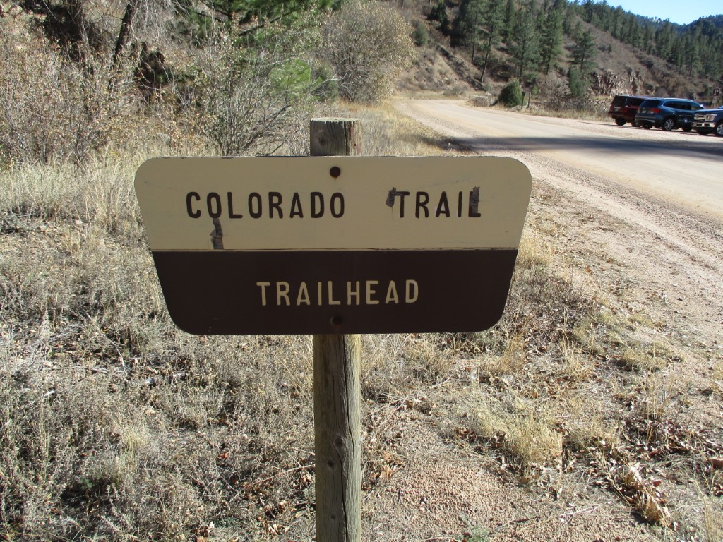
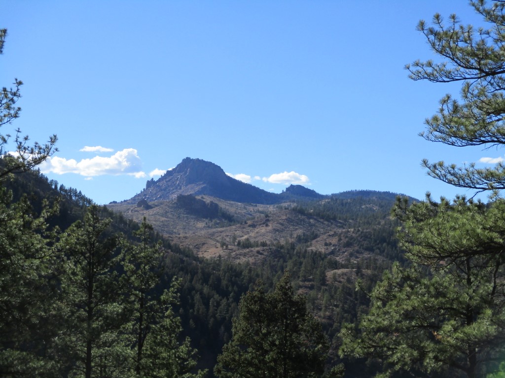
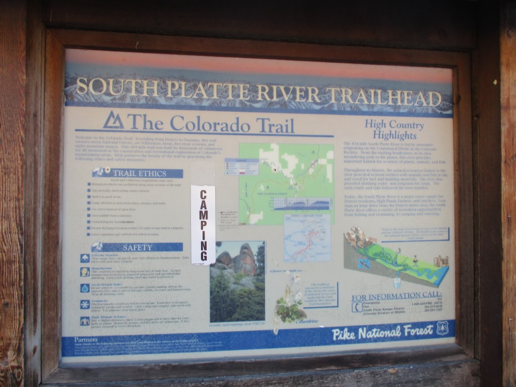
The Colorado Trail is Colorado’s premier long distance trail. It runs nearly 500 miles from Denver to Durango, and travels through the Colorado Rocky Mountains – passing lakes, creeks and diverse ecosystems in the process. Trail users experience six wilderness areas and eight mountain ranges topping out at 13,271 feet on the hike. The route ascends and descends dramatically on the Colorado Trail with an average elevation of over 10,300 feet. Hikers that do the entire route will climb 89,354 feet between the end points in Denver and Durango.
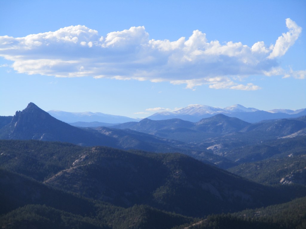
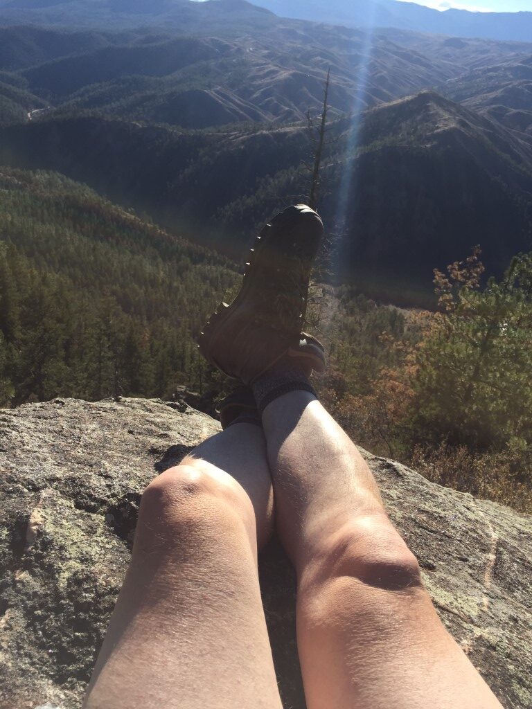
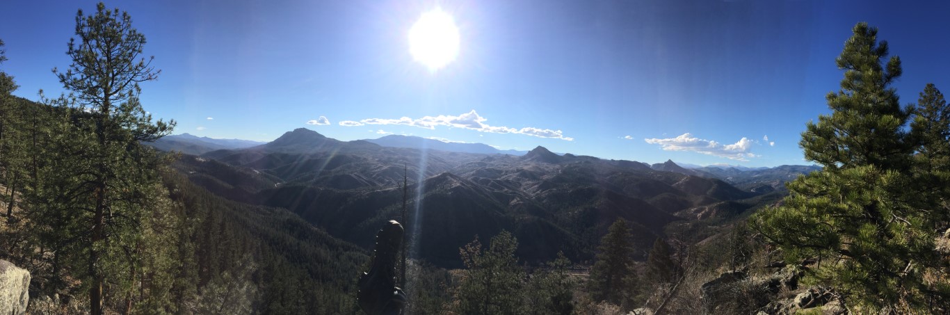
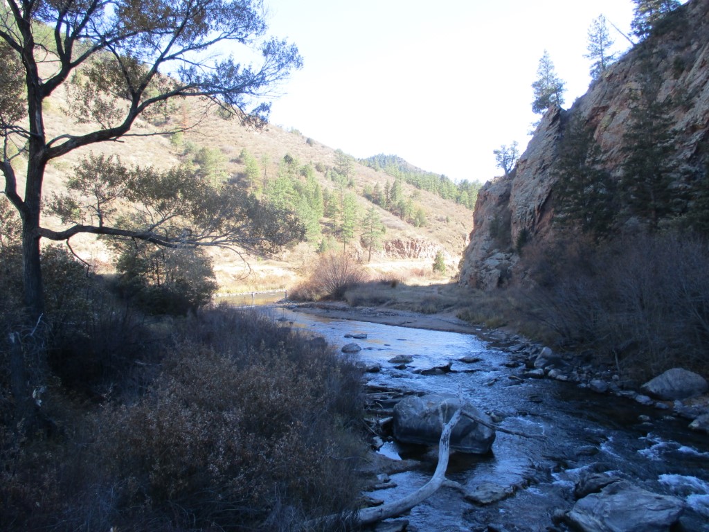
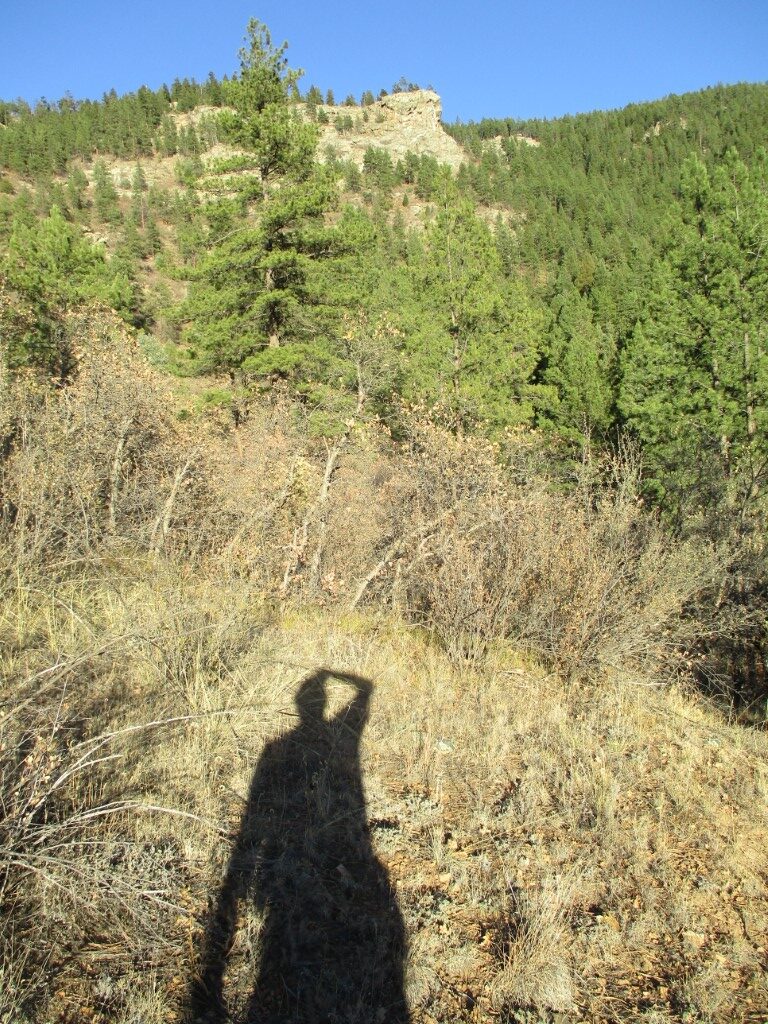
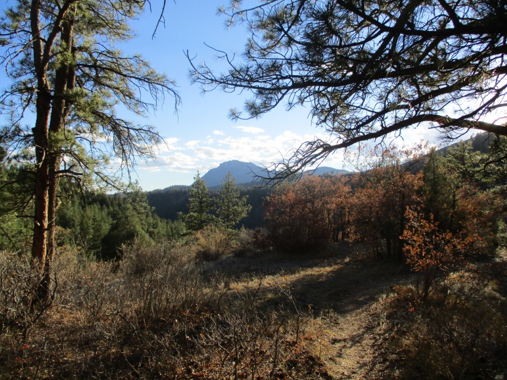
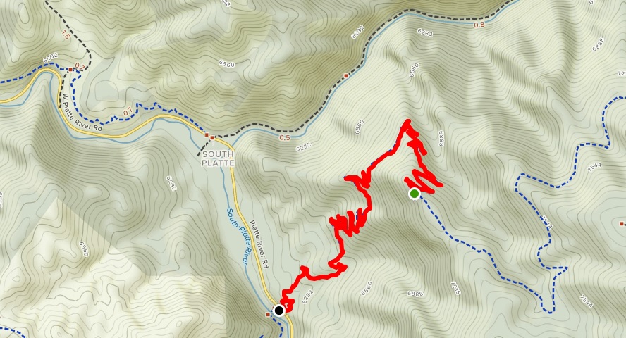
The South Platte River is a major tributary of the Platte River, flowing for 439 miles through Colorado and Nebraska. The South Platte begins as three forks in the South Park grassland basin of Colorado. After being joined by its forks, the river flows through the heart of Denver, where it once served as a “backdoor” for industry. The South Platte continues east from Denver for about 200 miles before meeting the North Platte River near the city of North Platte, Nebraska, to form the Platte River. This is a short backtrack hike on a portion of the Colorado Trail that climbs 5.2 from the South Platte River (~6000′) to a ridge line and rock outcrop (~7300′). There are excellent views from the ridge to the West and to the river and valley floor below.
- click for a video of “Enjoying Some Beef Jerky” while hiking this trail
- click for a trip report from this hike on the Colorado Trail: October 21, 2018 (password required)
- click for a topographical map from this hike near Sedalia, Colorado
- click for another hike on the Colorado Trail at Section 9
- click for Hiking Colorado: A Guide To The State’s Greatest Hiking Adventures (State Hiking Guides Series)
- click for more information on the Colorado Trail
- click for more information on the Continental Divide Trail
- click for more hikes in the State of Colorado