Tamarack Valley
San Bernardino National Forest
Supervisor’s Office
1824 S. Commercenter Circle
San Bernardino, CA 92408
(909) 382-2600

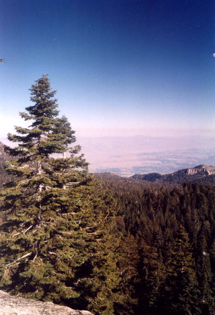
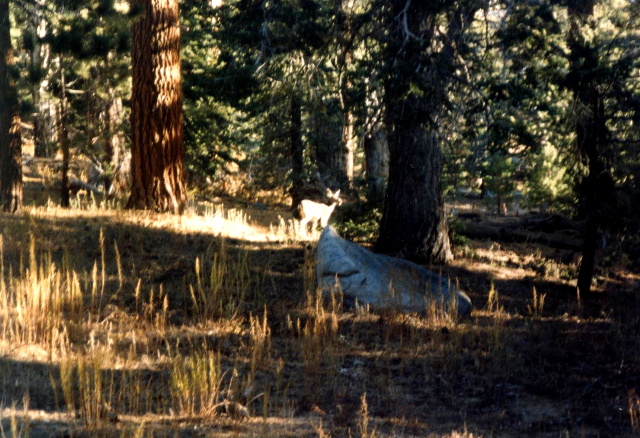
San Bernardino National Forest covers nearly 660,000 acres of terrain that includes a wide variety of climates, vegetation, scenery, natural resources, and outdoor recreation. Within the forest are the highest mountains in Southern California, including 11,502-foot Mount San Gorgonio, and about 114,000 acres of the forest in the Cucamonga, San Gorgonio, Santa Rosa and San Jacinto wilderness areas. The San Jacinto Wilderness is managed by the USFS but it is divided by the Mount San Jacinto State Park and Wilderness which is managed by the California Department of Parks and Recreation. There are 117 miles of trails here – including the Pacific Crest Trail where elevations range from 6,000 feet to 10,000 feet in the Wilderness.
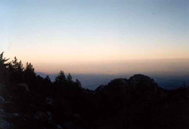
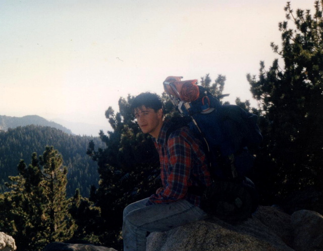
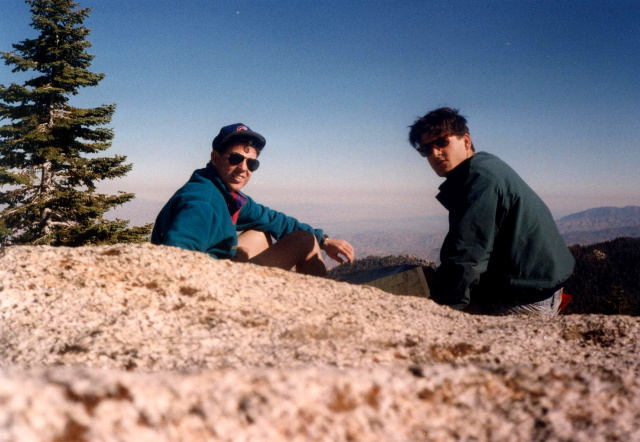
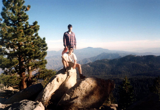
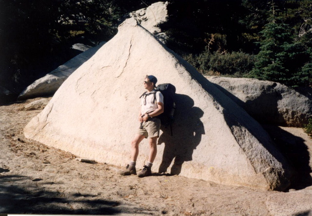
Mount San Jacinto, one of the highest peaks in Southern California, rises to an elevation of 10,834 feet (3,302 meters). The area is renowned for its dramatic landscapes, scenic vistas, and rich biodiversity – making it a favorite destination for outdoor enthusiasts. The tramway takes visitors from Palm Springs to Mountain Station, located at 8,516 feet. This offers a convenient way to access the higher elevations of the wilderness. On this hike, we jumped the tram near Palm Springs to climb to from the desert floor and enter the alpine zones of the San Jacinto Wilderness. This 11.8 mile loop uses the Devil’s Side, Pacific Crest, and Round Valley Trails and starts and ends at the tram. We spent three days hiking the loop past Willow Creek, Saddleback Junction, and Tamarack Valley and enjoyed the scenic but challenging hiking in the park and along the Pacific Crest Trail.
- click for more photos from this backpacking trip on the Pacific Crest Trail: November 5, 1993
- click for a Daytimer report from this hike in the San Bernardino National Forest: November 5, 1993 (password required)
- click for a topo and profile map of a greater loop hike from the Palm Springs Tram (password required)
- click for a topographical map of our backpacking trip in the San Jacinto Wilderness
- click for a trail map from this loop hike starting at the Palm Springs Tram (password required)
- click for a hike in the nearby Desert Palms in February 2025
- click for more information on the Pacific Crest Trail
- click for Pacific Crest Trail hiking and backpacking books
- click for the guidebook The Pacific Crest Trail: Southern California which has details on this area
- click for other California hiking and backpacking books
- click for links to other outdoor books and magazines