Copper Canyon
Angeles National Forest
701 N. Santa Anita Avenue
Arcadia, CA 91006
626-574-1613

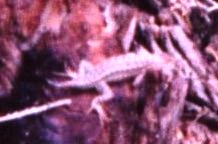
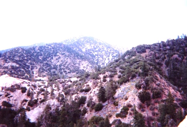
The Angeles National Forest is a vast and rugged expanse of public land in Southern California, located primarily in the San Gabriel Mountains, north of the Los Angeles metropolitan area. It covers more than 700,000 acres and is managed by the U.S. Forest Service. The California Gold Rush reached the mountains in the mid-1800s as prospectors scoured the East Fork of the San Gabriel River for gold. Sites like Eldoradoville which was a short-lived mining town sprang up. Timber and grazing increased to support the growing population of Los Angeles. As L.A. expanded, the San Gabriel Mountains became a crucial watershed, leading to increasing pressure to protect the forest to ensure clean water supply.
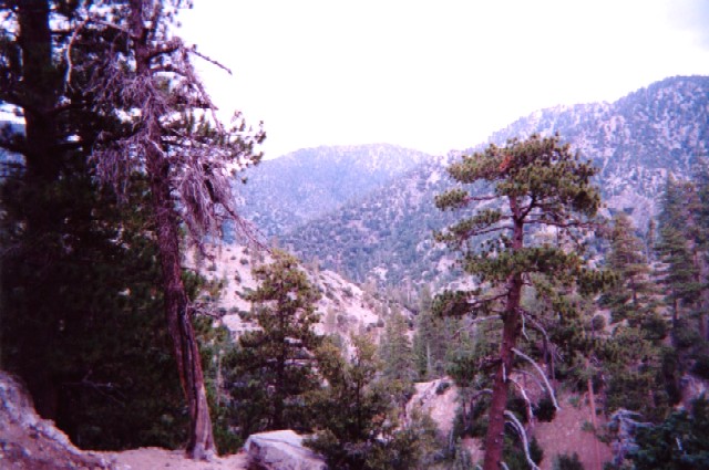
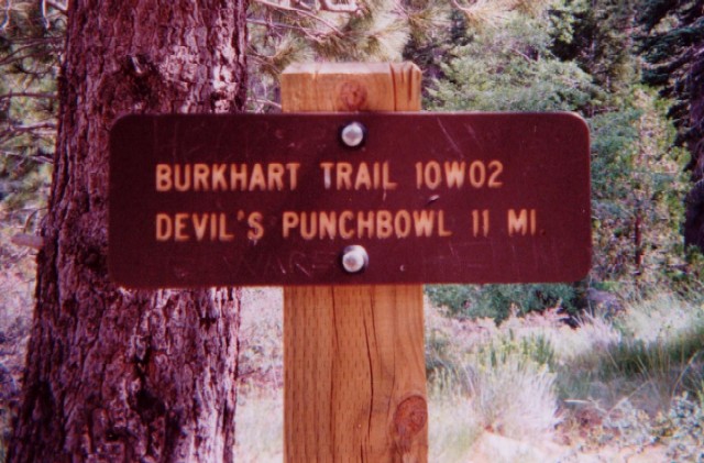
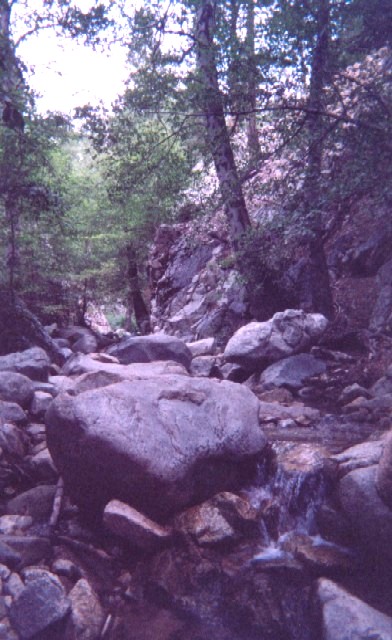
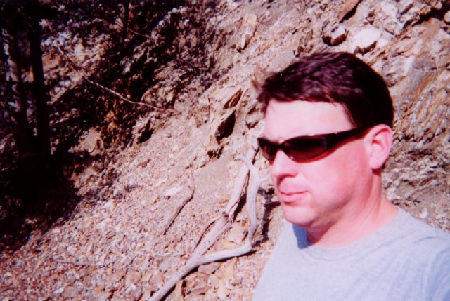
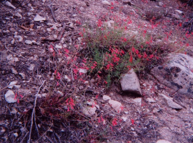
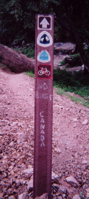
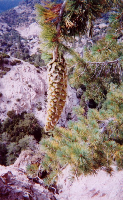
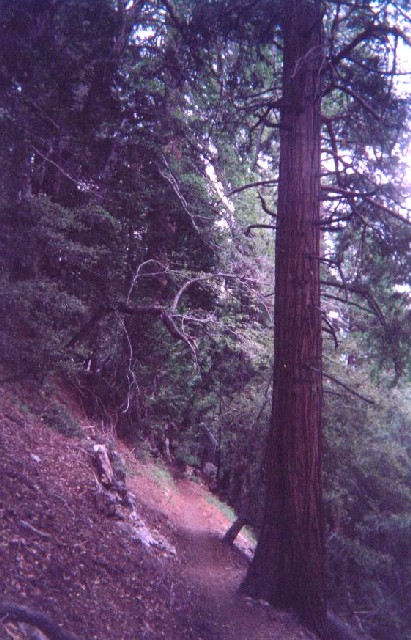
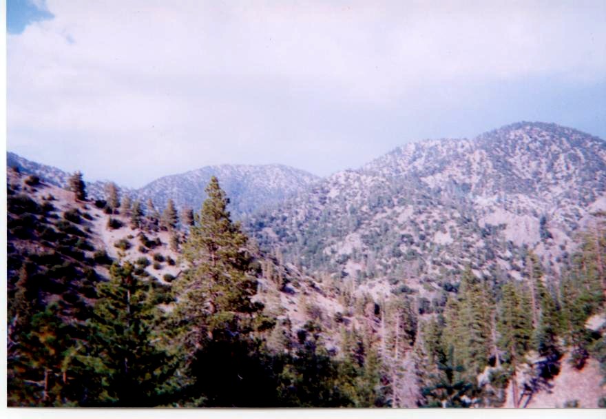
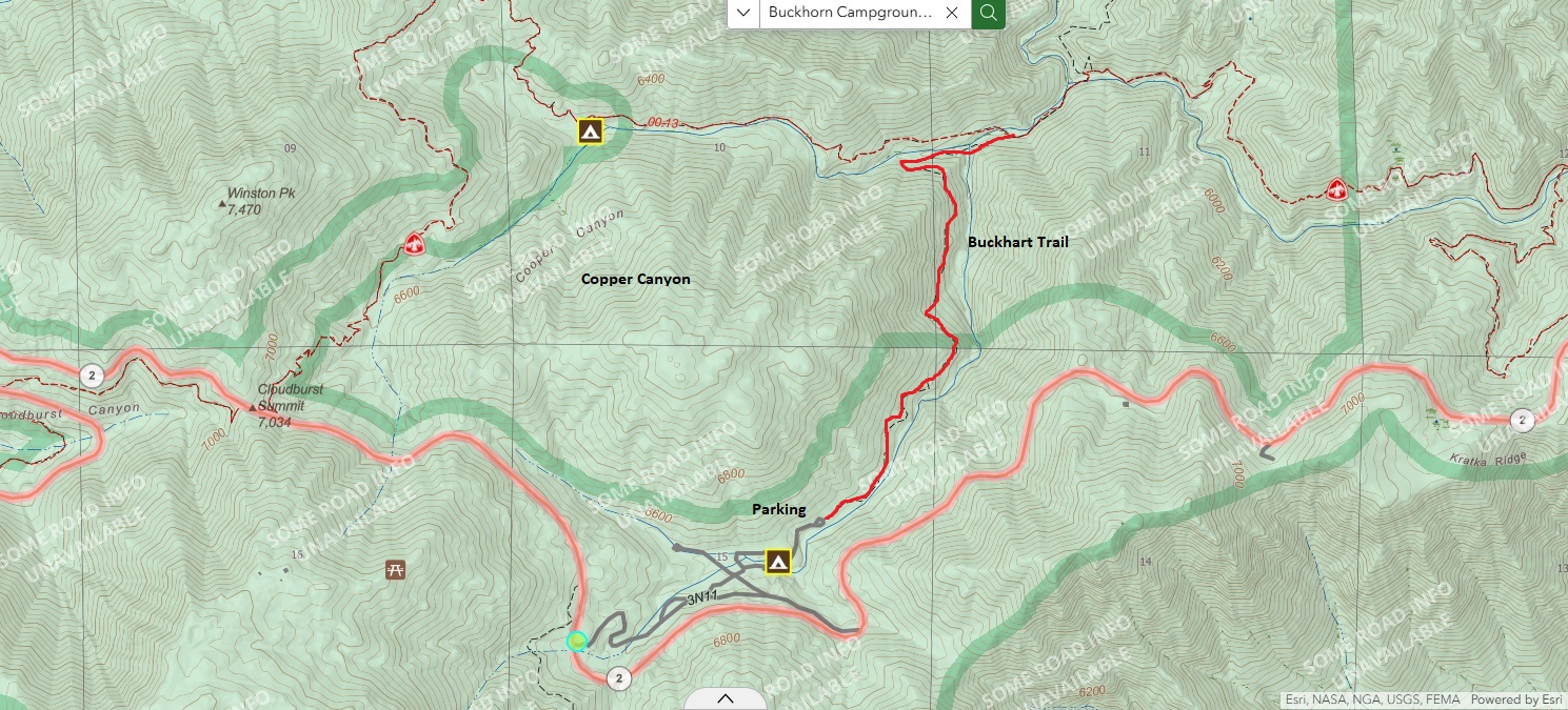
Buckhorn Campground is situated at ~6,350 feet off Angeles Crest Highway (SR‑2), about 35–36 miles northeast of La Cañada Flintridge. It is Typically open April through mid‑November when winter conditions cause closure due to snow. The hike to Copper Canyon via Buckhorn Campground is on the Buckhart Trail which makes a moderate decent through a dry pine forest to Copper Creek and the Pacific Crest Trail. Here you have the option of returning to the campground, relaxing near the stream, or continuing on the Buckhart Trail for a short distance to a ridge with excellent views toward Burkhart Saddle. There is also a nice campsite near the intersection of the Burkhart Trail and the PCT.
- click for a trip report from this hike in Copper Canyon: August 4, 2005
- click for an area map of this campground in the Angeles National Forest (password required)
- click for a trail map of this hike to the Pacific Crest Trail
- click for a topographical map of this hike on the Burkhart Trail (password required)
- click for a profile map of this hike at Copper Canyon (password required)
- click for a hike in the City of Palm Springs in November 1993
- click for the guidebook 100 Classic Hikes in Southern California
- click for more hikes in the State of California
- click for other California hiking and backpacking books
- click for more hiking and backpacking trips in California