Lost Lake
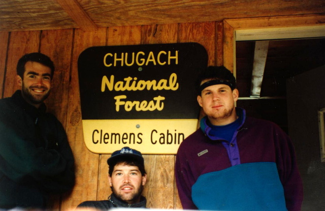
Chugach National Forest
USDA Forest Service
Seward Ranger District
334 4th Avenue
P.O. Box 390
Seward, AK 99664
907-224-3374

The Chugach National Forest is the western most and northern most National Forest in the United States. It is comprised of 5.5 million acres of Alaskan forest, making it the second-largest national forest in the country (after Tongass National Forest, also in Alaska). The Seward Ranger District encompasses the western most 890,000 acres of the Forest and it is one of three ranger districts in Chugach National Forest, covering much of the eastern Kenai Peninsula, including areas near the towns of Seward, Moose Pass, and Cooper Landing. It’s one of the most visited and accessible parts of the forest due to its proximity to Anchorage and the Seward Highway (AK-9).
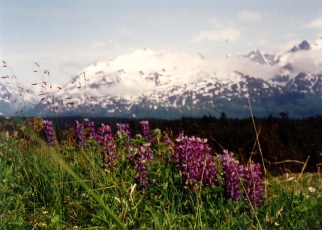
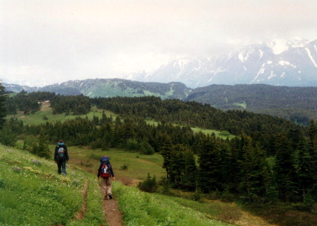
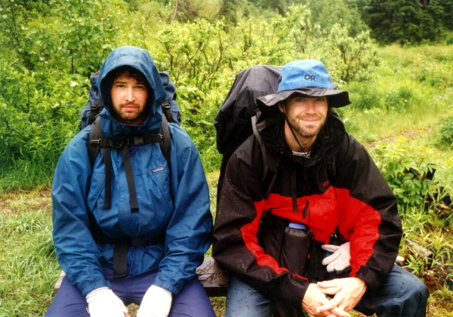
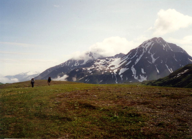
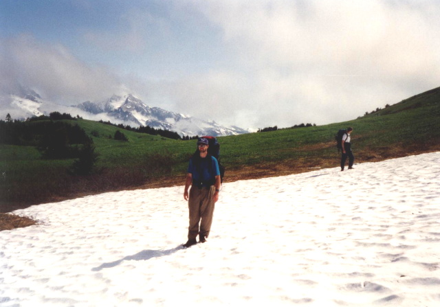
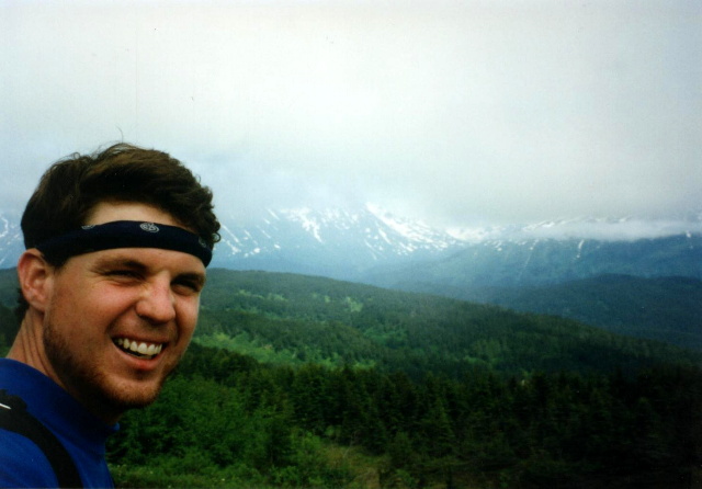
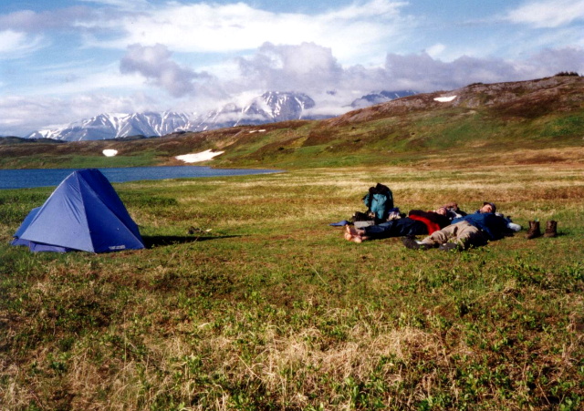
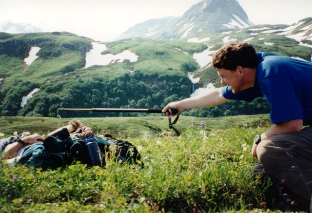
This hike to Lost Lake starts in this area in the lush valleys surrounding Seward, AK. The Lost Lake Trail gains elevation quickly, and in short time you clear the tree line and reach the open meadows and snowy ridges near Lost Lake. On our hike, we camped here then continued on the Primrose Trail to finish our hike at Kenai Lake. If you are looking for an alternative to tent camping there is a USFS hut a few miles before you reach the campsite at the lake. Make sure to book your reservations well in advance. The cabin often books up in the busy summer months.
- click for more photos from this backpacking trip to Lost Lake: July 6, 1995
- click for a Daytimer report for this this hike in the Chugach National Forest: July 6, 1995 (password required)
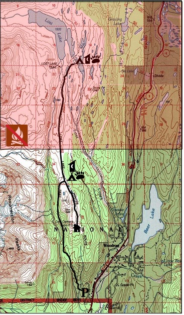
- click for a USFS topo map and brochure of this hike to Lost Lake in the Chugach
- click for a topographical and profile map of this hike on the Lost Lake Trail (password required)
- click for a topographical and profile map of this backpacking trip on the Primrose Trail (password required)
- click for another backpacking trip the previous week in Denali National Park in June 1995
- click to access the guidebook Lonely Planet: Backpacking In Alaska which has details on this hike
- click for more Alaska hiking and backpacking books
- click for more backpacking trips in the State of Alaska