Appalachian Trail #8 (Pleasant Pond Shelter to Pleasant Street)
Appalachian Trail Conservancy
799 West Washington Street
Harpers Ferry, WV 25425
(304) 535-6331
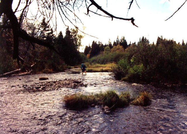
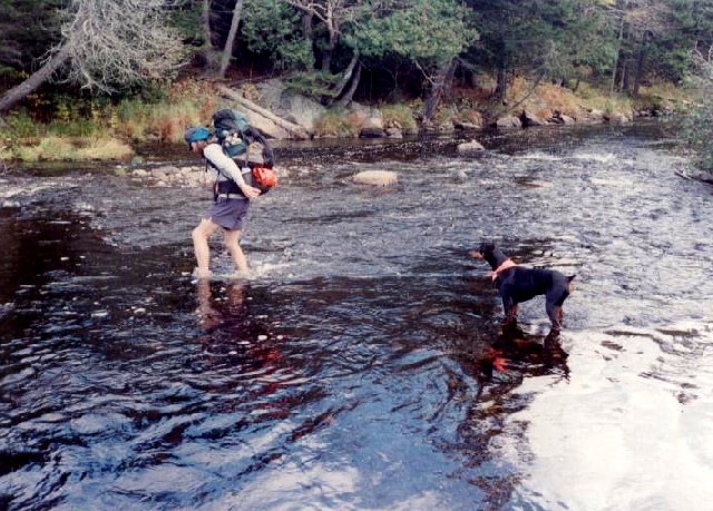
The 282 miles of the Appalachian Trail in Maine is generally considered the most difficult of the fourteen states that the A.T. traverses. While the elevations seldom top 4,000 feet , the terrain is often difficult and there are frequent rock scrambles through very rugged terrain. The hiking season in Maine is typically from late May to early October. Snow can linger on higher peaks into June, and weather can change rapidly. The Appalachian Trail Conservancy (ATC) does not recommend the Maine A.T. for novice hikers. There are limited bridges in the State due to the spring snowmelt and the streams on the trail require frequent fording. Slippery and sometimes hazardous weather can occur at any time, and the Maine A.T. is frequently remote to say the least. In some sections, don’t expect to hike more than a mile an hour and get used to steep ascents and descents. That said – the Maine A.T. has some of the most stunning and remote wilderness on the entire trail. It is often cited as a favorite State for many A.T. thru-hikers.
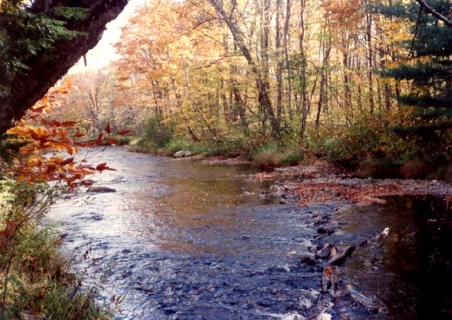
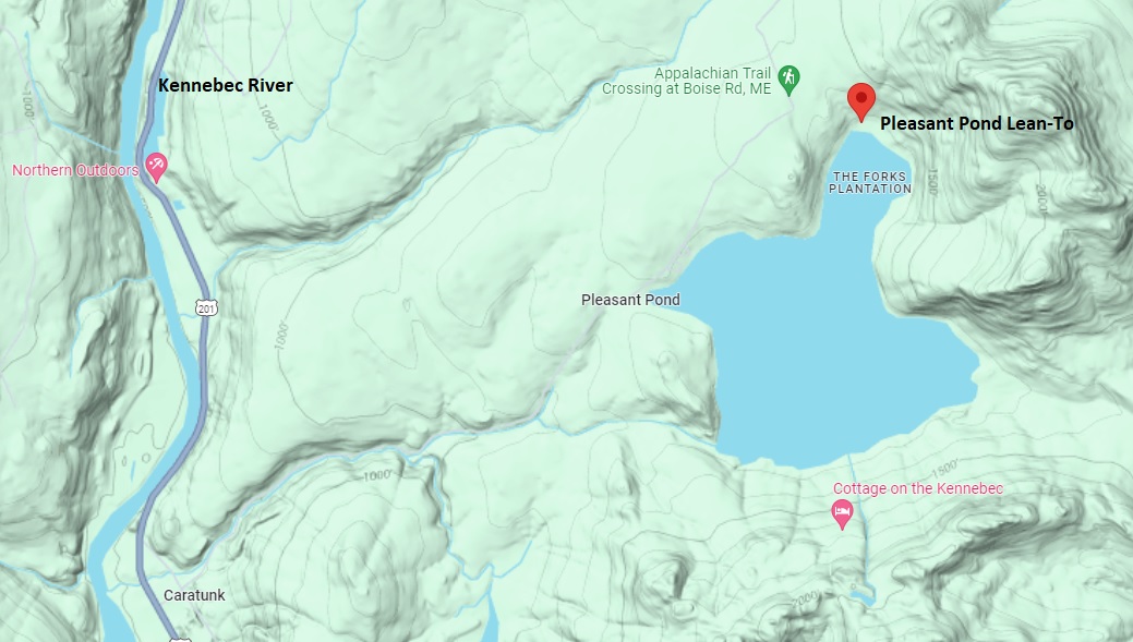
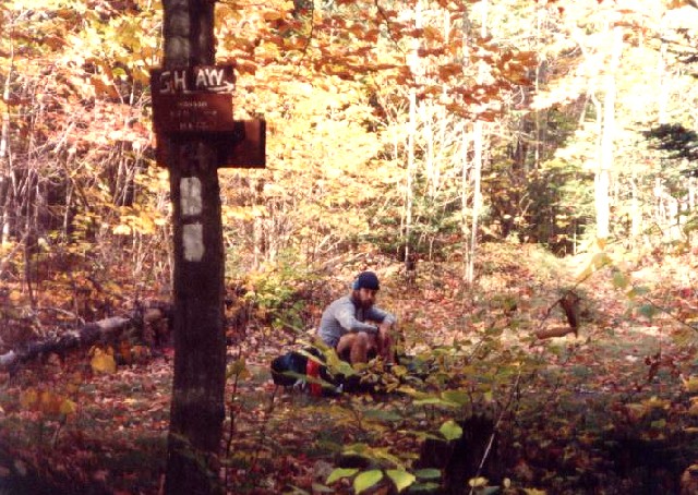
This section of the Appalachian Trail from Pleasant Pond Shelter to Pleasant Street (near Monson) is around 30 miles and begins one of the most secluded and wild stretches of the Appalachian Trail in Maine. The route winds through dense spruce-fir forests, climbs a few scenic peaks, and passes a string of quiet ponds before emerging near Monson – the last major trail town before the coveted 100-Mile Wilderness. Pleasant Pond Mountain (2,477′) has excellent views toward Moxie Bald (2,360′) and the Kennebec Valley. Moxie Bald Mountain (2,630′) is the highlight of this section and it offers the best views in the area. For camping, the Horseshoe Canyon Lean-to sits near the East Branch of the Piscataquis River where a suspension bridge and scenic waterfall make it one of the prettiest spots overnight in the area. The section ends at a forest road that links up to Pleasant Street and leads into the Town of Monson.
- click for a short video slideshow of my 1994 backpacking trip on the Appalachian Trail
- click for more photos from this section on the Appalachian Trail in Maine: September 19-October 2, 1994
- click for a detailed trail journal from the Appalachian Trail in Maine: September-October, 1994
- click for a Daytimer report from this section of the A.T. in Maine: September and October 1994 (password required)
- click for a map of the Appalachian Trail in New England (password protected)
- click for a topo & proflie map of the A.T from Caratunk to Pleasant Pond (password protected)
- click for a trail & profile map of the A.T. from the Kennebec River to Monson (password required)
- click for more information on the Appalachian Trail
- click for Appalachian Trail hiking and backpacking books
- click to access the guidebook Appalachian Trail: Maine which has details on this destination
- click for other Maine hiking and backpacking books