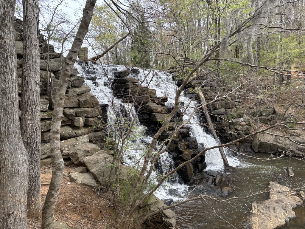
Chewacla Falls
Chewacla State Park
124 Shell Toomer Parkway
Auburn, AL 36830
(334) 887-5621
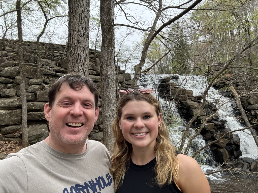
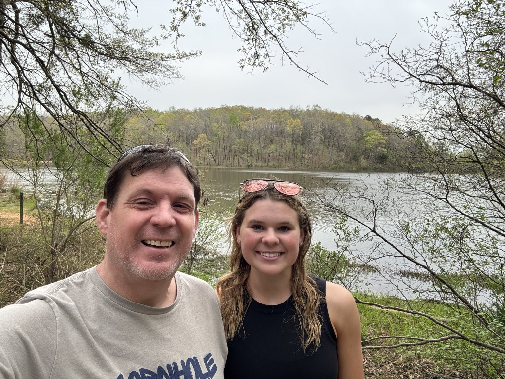
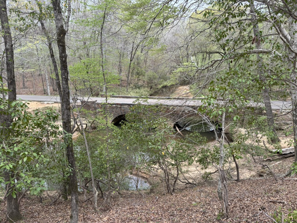
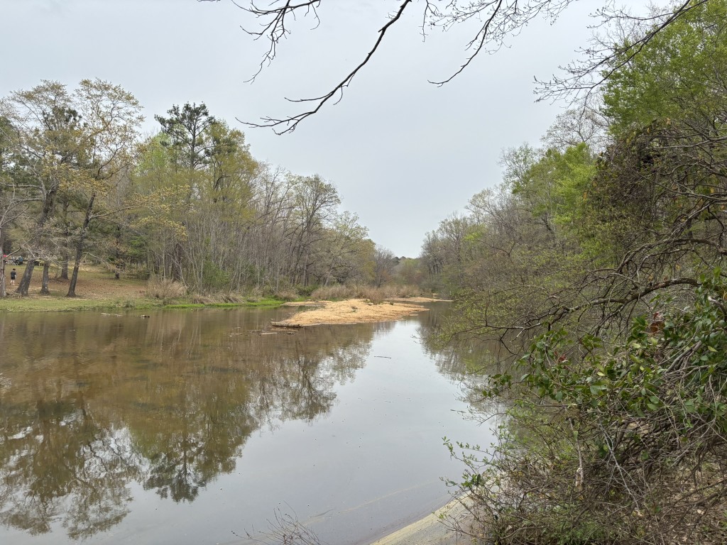
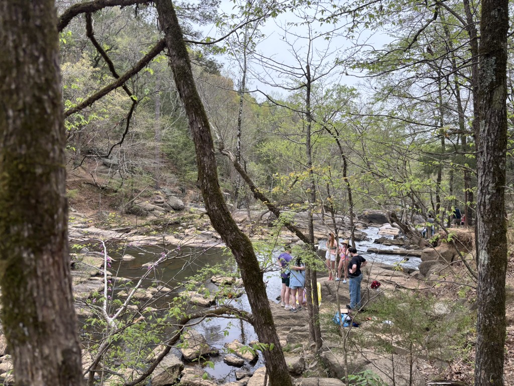
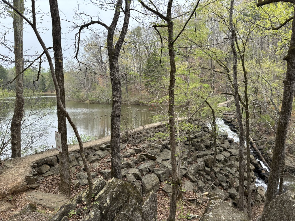
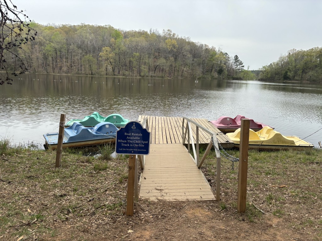
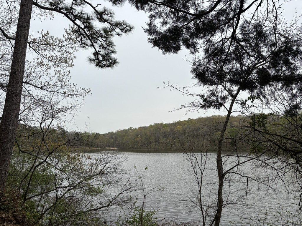
Chewacla State Park is located in Auburn, Alabama and it encompasses 696 acres of diverse landscapes and offers a variety of recreational activities for visitors. The park has a 26-acre lake suitable for swimming, fishing, and non-motorized boating. Visitors can bring canoes, kayaks, or paddleboards but gas-powered boats are not permitted on the lake. The park also features Chewacla Falls which is a picturesque man-made waterfall formed by a dam that offers scenic views and photo opportunities.
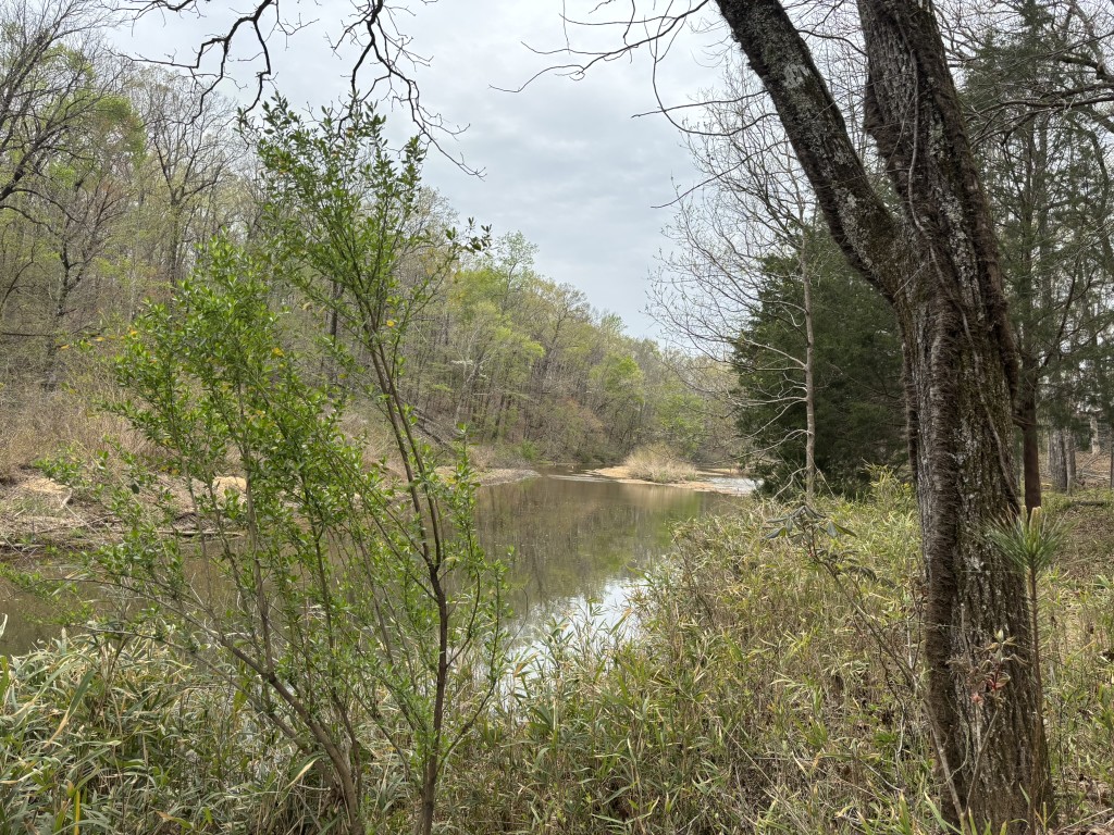
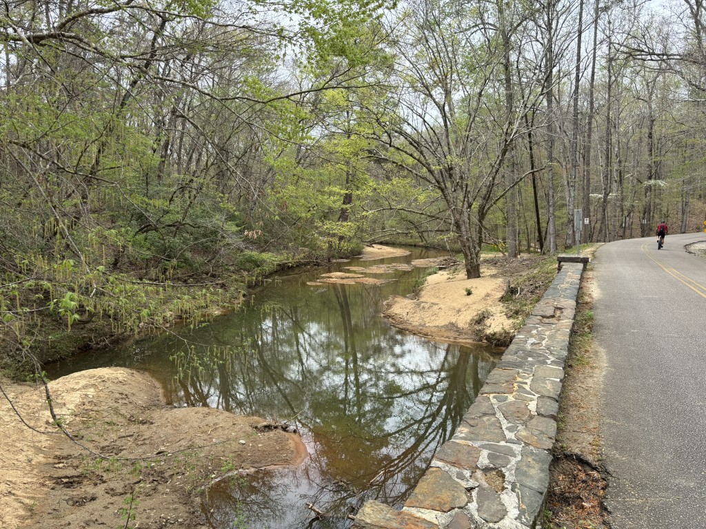
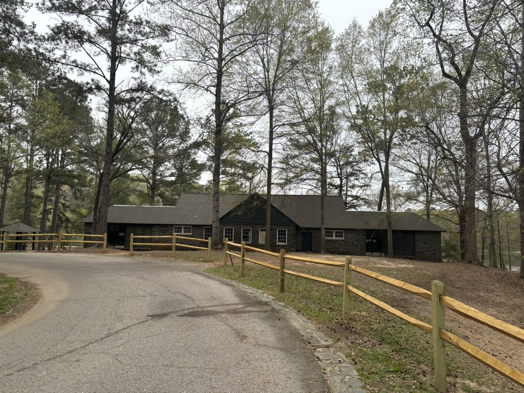
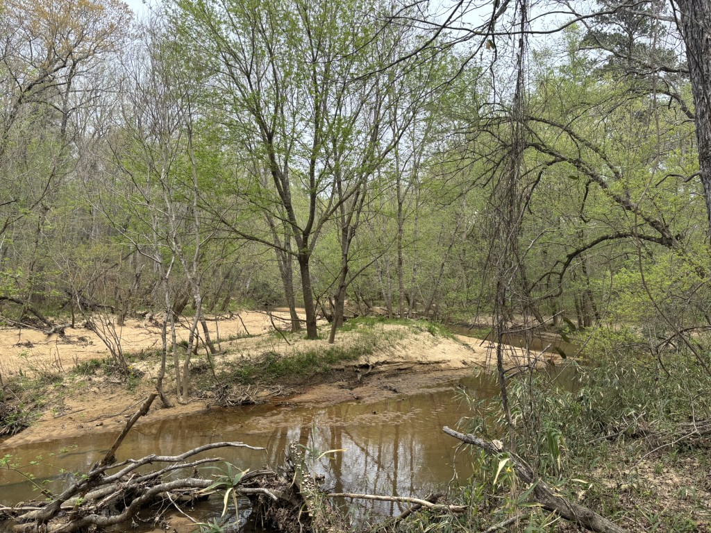
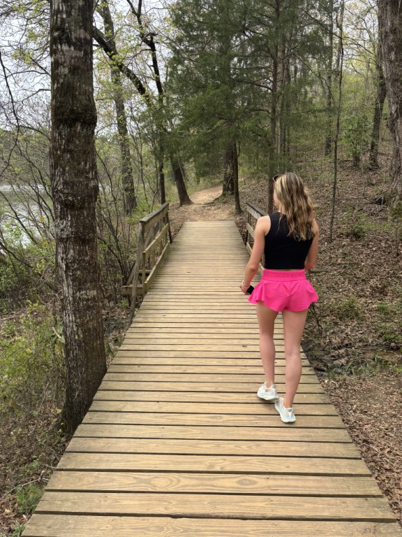
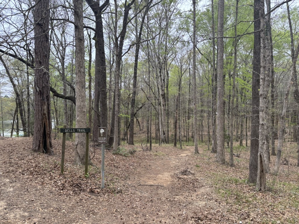
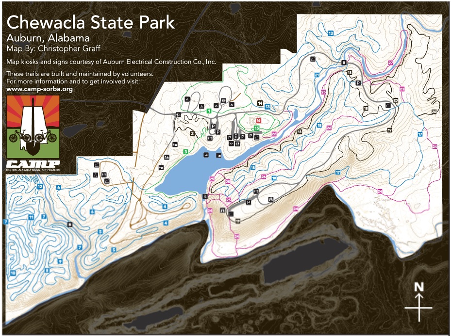
There are over 30 miles of trails at Chewacla State Park and each caters to both hikers and mountain bikers. Trails range from easy walks to challenging rides, with features built by the Central Alabama Mountain Pedalers (CAMP). On this hike, we started at the bath house at the lake and hiked a 2.3 mile loop to Chewacla Falls then up the creek that feeds the lake. We then looped back to the bath house using trails on the north side of the lake. The park is open daily from 8:00 a.m. to 5:00 p.m and is easily accessible from Interstate 85 at exit 51, making it a convenient destination for residents and visitors in the Auburn-Opelika area.
- click for a trip report from this hike in Chewacla State Park: March 29, 2025 (password required)
- click for a trail map of the hikes at Chewacla Falls State Park
- click for a topo and profile map of this hike to Chewacla Falls (password required)
- click for more hikes at Chewacla State Park in March 2025 and April 2026
- click for a hike the previous weekend to the Army Ranger Field
- click for a backpacking trip on the Chinnabee Silent Trail
- click for links to other outdoor books and magazines
- click for more hiking and backpacking trips in the State of Alabama