Shell Point
Pinckney Island National Wildlife Refuge
US Hwy 278
Pinckney Island, SC 29910
(843) 784-2468
The Pinckney Island National Wildlife Refuge is a 4,053-acre National Wildlife Refuge located between the mainland at Beaufort and the Island of Hilton Head, South Carolina. The refuge is named after Major General Charles Cotesworth Pinckney, who signed the Declaration of Independence and was a presidential candidate prior to the Civil War. Pickney lived on the island in the early 1800’s until his family home was wiped out by a hurricane. In modern times, the island served as a game preserve but was donated to the United States Fish and Wildlife Service in the 70’s to be managed exclusively as a National Wildlife Refuge (NWR) and as a nature and forest preserve. The Pinckney Island NWR was established on December 4, 1975.
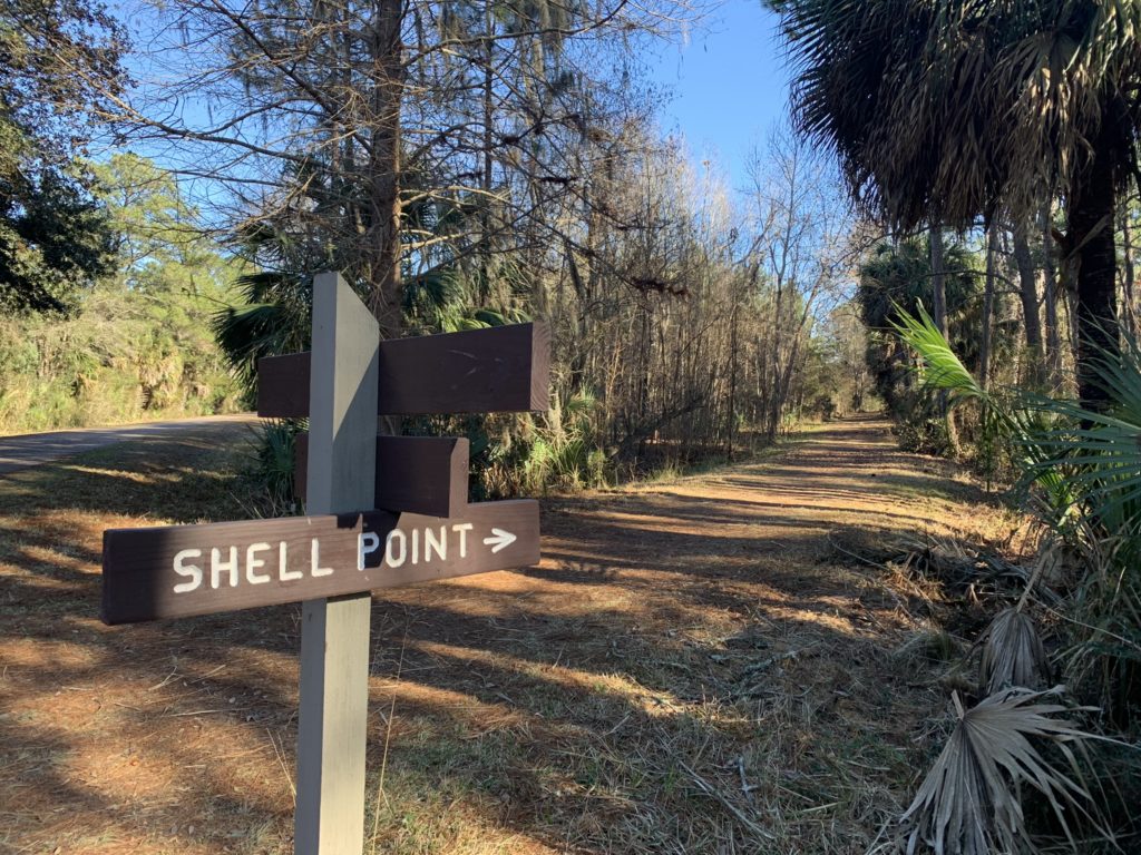
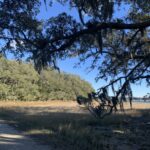
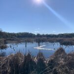
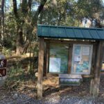
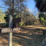
This five mile hike starts at the main parking area and trailhead on the island. It follows the main road to Ibis Pond then continues on to Shell Point and back. There is a trail around Ibis Pond and a shelter and picnic area where you can take a break, but no facilities at Shell Point – which looks across the Intercoastal to Hilton Head Island and the Skull Creek Marina. Be sure to carry plenty of water on this hike, because it is not available on the island. If you are hiking during the spring through fall, you should also carry insect repellant since it can get buggy at times.
- click to see trail photos from this hike to Ibis Pond and Shell Point: January 14, 2023
- click for a trip report from this hike on Pickney Island: January 14, 2023 (password required)
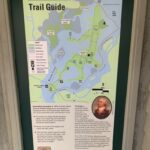
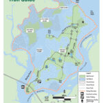
- click for a trail map of this hike at the Pickney Island National Wildlife Refuge
- click for a map of other parks on Hilton Head Island
- click for another hike on Pickney Island to Starr Pond in March 2024 and January 2025
- click to access the guidebook Best Hikes With Dogs Georgia And South Carolina for more hikes at Hilton Head
- click for South Carolina hiking and backpacking books
