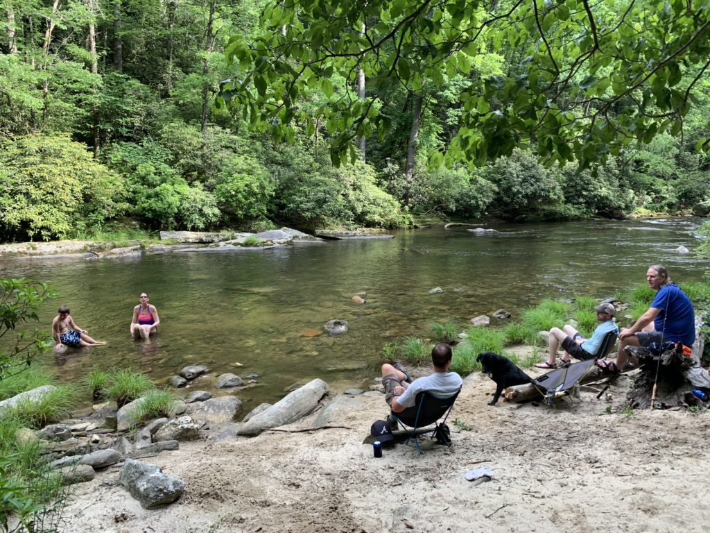
Burrell’s Ford Site #2
Chattahoochee National Forest
Chattooga River District
9975 Highway 441S
Lakemont, GA 30552
706 754-6221
The Chattooga River (which is occasionally misspelled the Chatooga River or the Chattoga River) begins in the mountains of North Carolina as small rivulets, nourished by springs and abundant rainfall, high on the slopes of the Appalachian Mountains. The water drops a half mile in elevation over fifty miles as it winds its way to Lake Tugaloo where the river ends between South Carolina and Georgia. The Chattooga is one of the few remaining free-flowing streams in the Southeast, and the setting is primitive with dense forests and undeveloped shorelines on most of its route. On May 10, 1974, Congress designated the Chattooga a Wild and Scenic River – a honor reserved for rivers with outstanding scenery, recreation, wildlife, geologic, and cultural values.
This hike starts at Burrell’s Ford on the Georgia side of the river and uses a fisherman’s trail to access the west side of the river. There is a small parking area here and a few scattered campsites along the Chattooga in this location. No camping is permitted within 0.3 miles of the parking area. The Burrell’s Ford Trail near Mountain City, Georgia is a completely different hike – so don’t confuse it with this area.
- click to see video of Reggie Comfortable In His Hammock, Riding The Storm Out
- click for Get Out The Sawwwr, Chattooga River Downpour
- click to see trail photos from this hike along the Burrell’s Ford Trail: June 12, 2021
- click to view a trip report of this hike starting at Burrell’s Ford: June 12, 2021(password required)
- click to a view a map of this campsite near Burrell’s Ford in North Georgia (password required)
- click for a topographical map of this section of the Chattooga River Trail
- click to view a map of the intersecting trails at the Burrell’s Ford Parking area (password required)
- click to view a trail map of the Chattooga River from Burrell’s Ford to Bad Creek
- click for a trail map of the Chattooga River from Burrell’s Ford to Russell Bridge (password required)
- click for more information on the Chattooga River Trail
- click for Chattooga River Trail hiking and backpacking books
- click for The Chattooga National Wild And Scenic River guidebook which has hiking details on this destination
- click for other Georgia hiking and backpacking books
- click for other hikes on the Chattooga River Trail in Georgia


