Florida Trail (Suwanee River)
The Florida Trail Association LLC
1022 NW 2nd Street
Gainesville, FL 32601
(352) 378-8823
https://floridatrail.org/

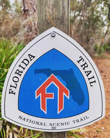
The Florida National Scenic Trail is a 1,500 mile federally designated trail beginning at Big Cypress National Preserve and ending at Gulf Islands National Seashore. It was was officially designated as a National Scenic Trail in 1983, and is managed by more than 25 different agencies and private partners. The Florida Trail Association is a nonprofit organization that is responsible for developing, maintaining, protecting, & promoting a network of hiking trails throughout the state – including the Florida Trail.
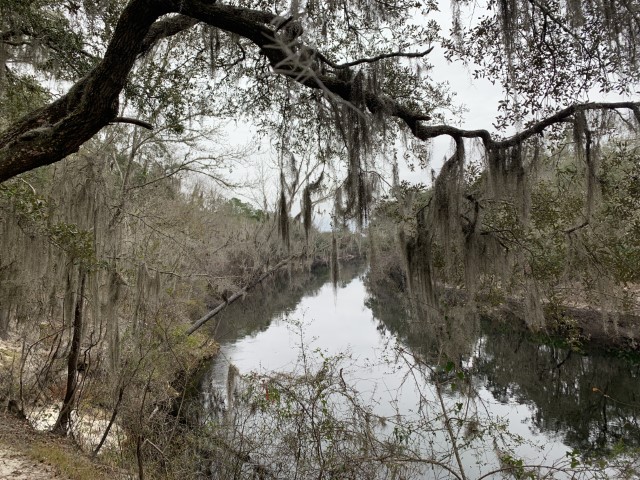
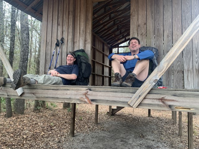
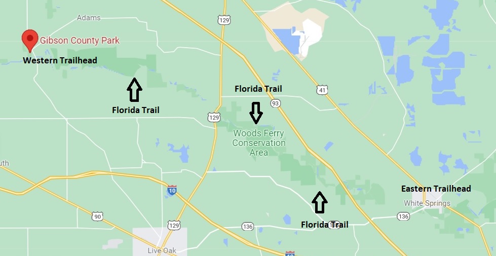
This section off the Florida Trail follows the Suwanee River, and on our hike we followed it upstream starting at the town of White Springs and ending at Gibson County Park. The largest climb in this section is only 80′ feet up Devil’s Mountain, but the terrain is surprisingly challenging as the Trail frequently follows the banks of the tannin colored river. There are sink holes, springs, and beautiful white sand beaches on this hike – so it is a favorite among backpackers. For the best weather, try late winter before the spring floods arrive and to avoid the heat nd insects that are present spring through fall.
- click to hear a podcast of our adventures on the Suwanee River Section of the Florida Trail
- click to see photos from our hike along the Suwanee River: January 24, 2022
- click for a trip report on this backpacking trip on the Florida Trail: January 24, 2022 (password protected)
- click for a topographical and profile map of this section of the Florida Trail on the Suwanee River (password protected)
- click to see other long distance hiking trails in the United States
- click for the guidebook The Hiking Trails of Florida’s National Forests, Parks, and Preserves for more hikes in Florida
- click for more hikes in the State of Florida