Indian Cave State Park
Indian Cave State Park
65296 720 Road
Shubert, NE 68437-9801
Phone: (402) 883-2575
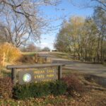
Indian Cave State Park is a scenic and historical state park located along the Missouri River in southeastern Nebraska, near the towns of Shubert and Brownville. Spanning over 3,000 acres, the park is known for its rugged terrain, rich cultural history, and outdoor recreation opportunities. The park’s namesake is a sandstone cave featuring prehistoric petroglyphs, believed to have been created by Native Americans. While the origins of the carvings are not definitively understood, they offer a glimpse into the area’s ancient human activity.
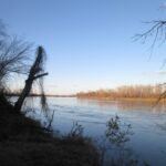
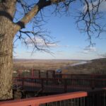
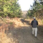
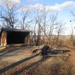
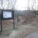
Indian Cave State Park features over 20 miles of hiking and biking trails that wind through dense woodlands, open meadows, and along the river. The trails range in difficulty, catering to casual walkers and experienced hikers alike. This hike starts at Trailhead #3 where there are outstanding views from an overlook on the ridge line. From here, the trail descends ~300 feet and gradually through a lightly wooded prairie grass meadow and eventually levels off at the Missouri River. There are a collection of three Appalachian Trail type shelters above the river with outstanding views of the Missouri and it is worth the ~250′ climb to see them. From here, you can continue continue on the trail for a much longer hiker or loop back to Trailhead #3 like we did.
- click for a photo journal from this trip as we close in on 50 hikes in 50 States in 50 years
- click to see photos from this decent down to the Missouri River: November 21, 2015
- click for a trip report from this hike at Indian Cave State Park: November 21, 2015 (password required)
- click for a topographical and profile map of this walk along the Missouri River (password required)
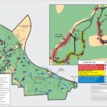
- click to view a park trail and campsite map from Indian Cave State Park
- click for a brochure from this state park in eastern Nebraska
- click for another hike we did this weekend at Waubonsie State Park in Iowa
- click for a hike we did this weekend at Wyandotte County Park in Kansas
- click for links to some outdoor books and magazines

