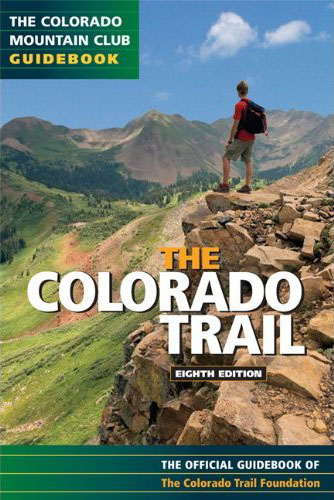
HIGHLIGHTS: The Colorado Trail is a 486 mile long-distance trail that runs from the northwest in Waterton Canyon (near Denver) to Durango Colorado. It was first completed in 1987 and is currently maintained by the non-profit Colorado Trail Foundation and the United States Forest Service. For 235 miles, it shares the path with the Continental Divide Trail along the Collegiate East route. The Colorado Trail follows the Continental Divide Trail another 80 miles along the Collegiate West route – so there are multiple options for hiking this path. Hikers and backpackers on the Colorado Trail will pass through some of Colorado most scenic backcountry – including six National Forests, six Wilderness areas, and eight of the states mountain ranges. The trail also passes through historic mining towns, traverses ancient Native American trails, and is adjacent to world-class ski resorts and a few 10th Mountain Division huts. Most of the Colorado trail is above 10,000 feet and the trail frequently climbs above treeline to the Continental Divide. So the best time to thru-hike the trail is in either August or September when there is less snow. Most thru-hikers hike the trail in 4-6 weeks from Denver to Durango – which allows time to acclimate and prepare for the high ridges of the San Juans.
MORE DETAILS
|


Speak Your Mind