Chattooga River (West Fork Campground to Earl’s Ford)
Sumter National Forest
Andrew Pickens Ranger District
112 Andrew Pickens Circle
Mountain Rest, South Carolina 29664
(864) 638-9568
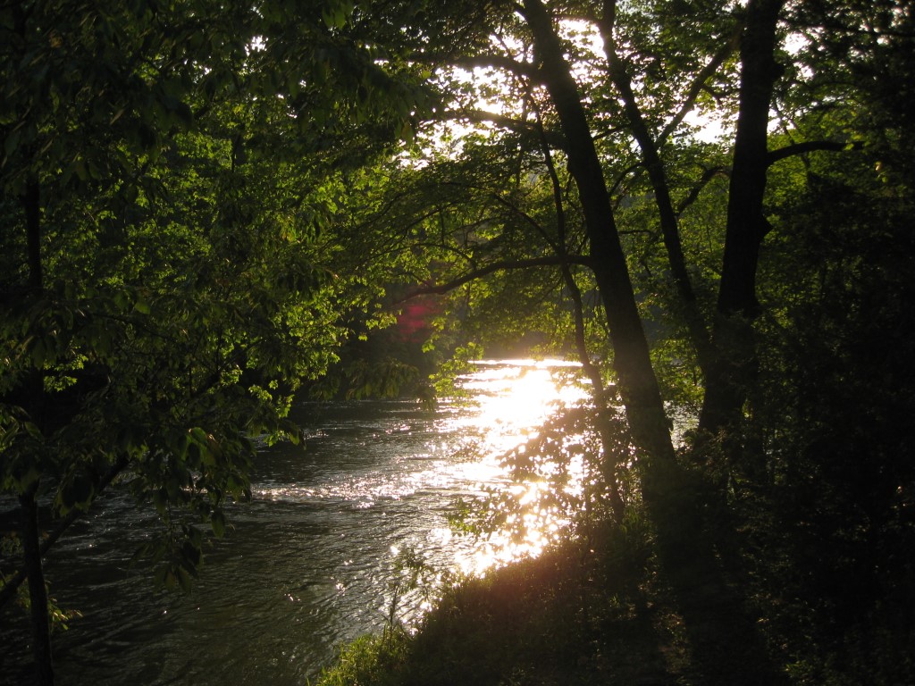
The Chattooga River begins in the mountains of North Carolina as small rivulets, nourished by springs and abundant rainfall, high on the slopes of the Appalachian Mountains. The water drops a half mile in elevation over fifty miles as it winds its way to Lake Tugaloo where the river ends between South Carolina and Georgia. The Chattooga is one of the few remaining free-flowing streams in the Southeast, and the setting is primitive with dense forests and undeveloped shorelines on most of its route. On May 10, 1974, Congress designated the Chattooga a Wild and Scenic River – a honor reserved for rivers with outstanding scenery, recreation, wildlife, geologic, and cultural values.
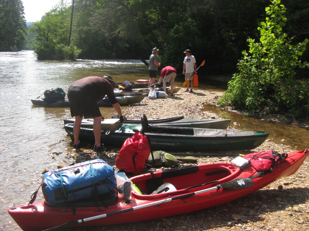
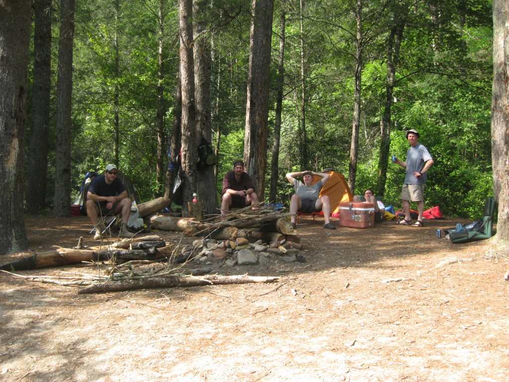
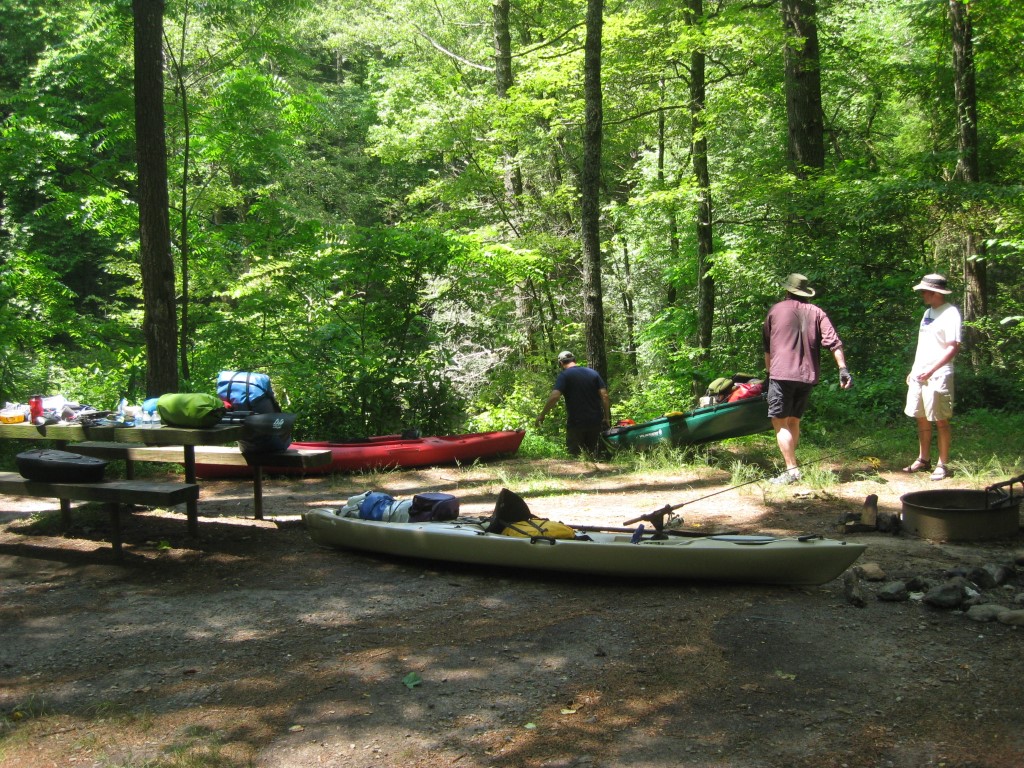
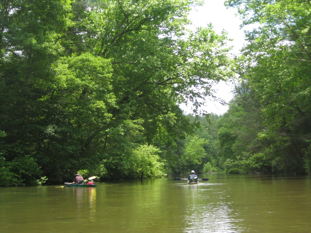
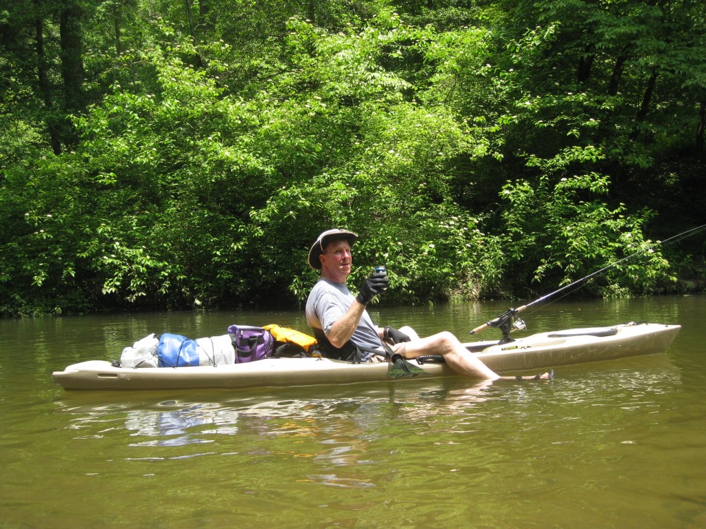
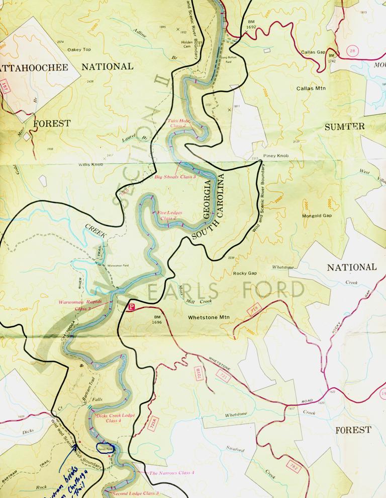
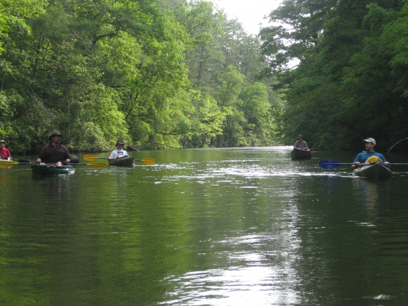
This is a kayaking trip that starts at The West Fork Campground (at Overflow Creek Road) and follows the West Fork of the Chattooga River for about four miles to the main branch of the Chattooga. (Some maps call this Overflow Creek and others call it Warwoman Creek). The West Fork of the Chattooga then joins the main branch to run for seven miles to Earl’s Ford near Westminster, South Carolina. The river in this section (section two) has a few Class II rapids and a single Class III at Big Shoals which is easily forded during periods of lower water. The trip can be done in six to eight hours as either a long day trip or as an overnight float trip with campsites scattered along the river – particularly after Big Shoals.
- click for Roger on the West Fork, while Phillip Dominates, then Phillip gets dominated
- click to see the carnage at Turn Hole Falls and our armada on the Chattooga River
- click for photos from this kayaking trip on section two of the Chattooga River: June 15, 2013
- click for a trip report of this overnight paddling trip down Section Two: June 15, 2013 (password required)
- click to view a black and white river map of this kayaking from Highway 28 to Earl’s Ford
- click to see a river map of this section of the Chattooga River near Wallhalla, South Carolina (large file 1.5 M) (password required)
- click for a river map of this section of the Chattooga River (small file 122 K) (password required)
- click to read the guidebook details for Section II of the Chattooga River (password required)
- click to view a hiking and backpacking map of the Chattooga River Trail
- click for more information on the Chattooga River Trail in northeastern Georgia
- click for The Chattooga National Wild And Scenic River guidebook which has details on this destination
- click for other Georgia hiking and backpacking books
- click for other hikes on the Chattooga River Trail in Georgia
- click for a complete list of our canoeing, kayaking, and rafting trips