Chattahoochee River (Don White to Roswell River Landing)
Chattahoochee River National Recreation Area
1978 Island Ford Parkway
Sandy Springs, GA 30350
678-538-1273
The Chattahoochee River is 430 miles long and it forms the southern half of the Alabama and Georgia border, as well as a portion of the Florida border. It is a tributary of the Apalachicola River, a relatively short river formed by the confluence of the Chattahoochee and Flint rivers and emptying from Florida into Apalachicola Bay in the Gulf of Mexico.
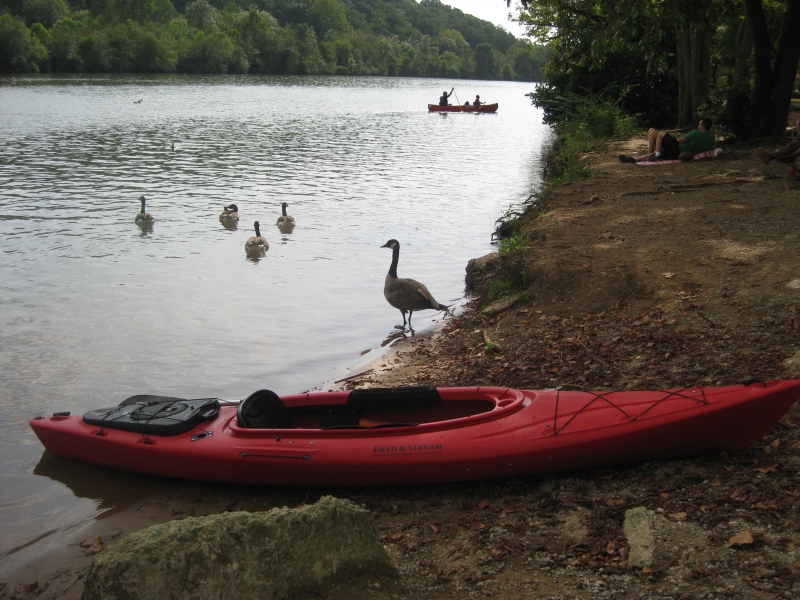
This is a float trip down the Chattahoochee that we did in kayaks and tubes near Roswell, Georgia. The river is busy in the summer months, so don’t expect a lot of privacy, but there are shuttle services on this route and it’s a nice way to spend a hot summer afternoon. In season, rentals are available at Azalea Park.
- click to see a video of our float down a section of the Chattahoochee near Roswell: September 2, 2012
- click to see photos from this kayaking trip on the Chattahoochee River: September 2, 2012, September 22, 2014 (password required)
- click to read a trip report from this trip ending at Azalea Park: September 2, 2012 (password required)
- click to view maps of this park near Atlanta: area map, City of Roswell park map, Chattahooche Nature Center trail map, Chattahoochee National Recreational Area park map, Chattahoochee National Recreation Area map
- click for links to hiking and backpacking forums and “trail talk”
- click for links to other outdoor books and magazines
- click here to add your hike, trip report, or feedback for this destination
