Poverty Point State Historic Site
Poverty Point State Historic Site
6859 Highway 577
Pioneer, Louisiana 71266
318-926-5492

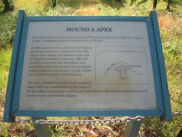
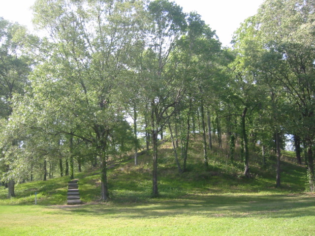
Poverty Point State Historic Site is one of the most important archaeological sites in North America and provides a remarkable glimpse into a sophisticated prehistoric culture that flourished more than 3,000 years ago. Constructed between approximately 1700 and 1100 BCE, the site was built by a society of hunter-fisher-gatherers whose engineering achievements challenged long-held assumptions about the capabilities of ancient North American peoples. Designated a UNESCO World Heritage Site, Poverty Point contains an immense complex of earthworks spread across hundreds of acres, including six concentric C-shaped ridges, several plazas, and five large mounds. The most impressive of these is Mound A, a massive bird-shaped structure rising approximately 72 feet above the surrounding landscape. Archaeologists believe this mound was constructed in a surprisingly short period of time, requiring the movement of millions of cubic feet of soil using only baskets and hand tools. Excavations have uncovered thousands of artifacts crafted from materials that originated hundreds of miles away, including copper from the Great Lakes region, soapstone from the Appalachian Mountains, and various stones from the Ohio and Mississippi River valleys. These discoveries reveal that Poverty Point was not an isolated settlement but rather a major center of trade, culture, and ceremonial activity connected to an extensive network that stretched across much of eastern North America.
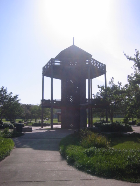
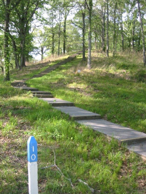
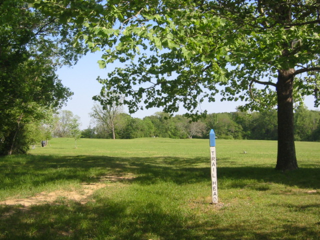
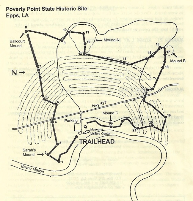
This loop hike provides an excellent opportunity to explore the scale and complexity of the Poverty Point earthworks while enjoying one of Louisiana’s most unique historical landscapes. The trail circles the ancient ridges and mounds, allowing visitors to appreciate the immense effort required to construct these features nearly twelve centuries before the birth of Christ. A highlight of the hike is the moderate climb to the summit of Mound A, the highest point in the park, where elevated views help reveal the overall layout of the site and the surrounding Mississippi Delta landscape. Along the route, interpretive signs explain the history, archaeology, and significance of the earthworks, helping visitors understand how the site may have functioned as a residential, ceremonial, and trading center. Before or after the hike, the park museum offers an informative audiovisual presentation and displays a collection of artifacts recovered during archaeological excavations, including tools, projectile points, cooking objects, and decorative items. Additional facilities include an archaeological laboratory, picnic areas, restrooms, and an observation tower that provides another perspective on the ancient landscape. Together, these features make Poverty Point one of the most fascinating destinations in the South for anyone interested in history, archaeology, or the achievements of North America’s earliest civilizations.
- click for more photos from this hike at the Poverty Point State Historic Site: April 18, 2006
- click for a trip report of this hike on the Poverty Point: April 18, 2006
- click for a park map of this hike near Pioneer, Louisiana
- click for a satellite map of Poverty Point Historic Site
- click for a trail map of this hike at Poverty Point
- click for a hike at the Ignatius House a few days earlier
- click for a backpacking trip at Kings Mountain National Park a few days later
- click for more hikes in the State of Louisiana