Bad Creek Access Trail
Duke Power Company
P.O. Box 33189
Charlotte, NC 28242
704-373-4011

The Bad Creek Access Trail is located in the Sumter National Forest of South Carolina, near the North Carolina border. It’s one of the main routes hikers use to reach the Whitewater River and the spectacular Whitewater Falls area. The trail links with the Foothills Trail, which provides access to the Whitewater River corridor. The gate at Duke Energy’s property is open only during daylight hours—typically around 9 AM to 4 PM for entry. However, exiting is permitted at any time since the gate will open automatically for departures
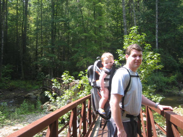
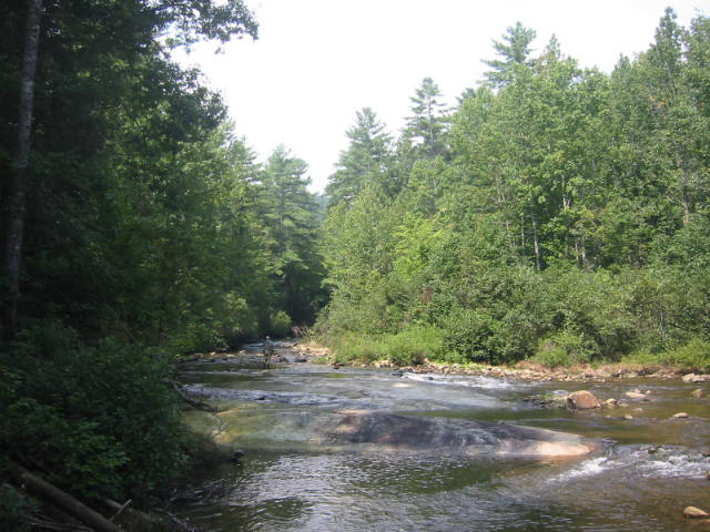
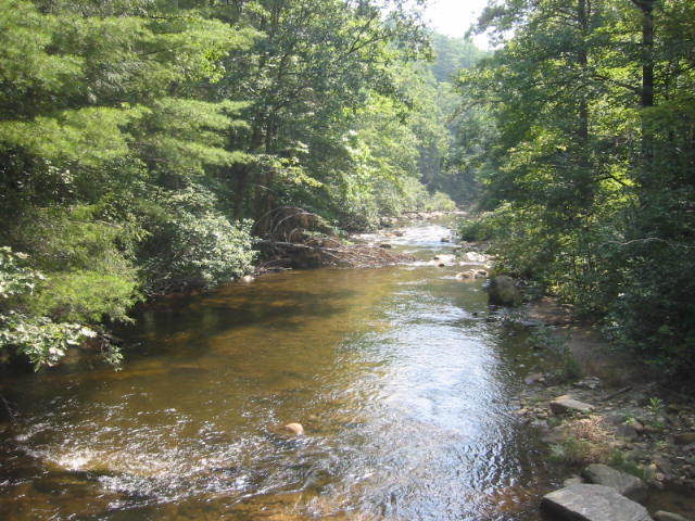
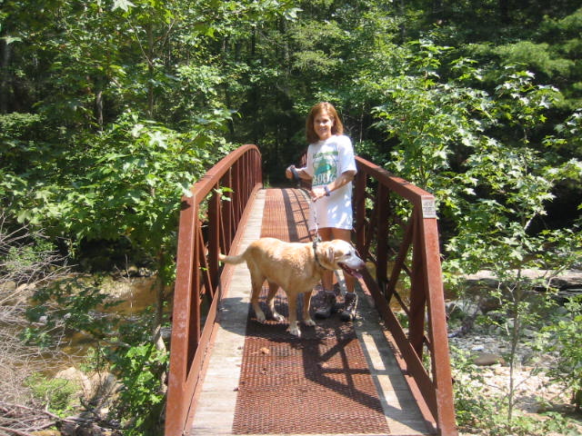
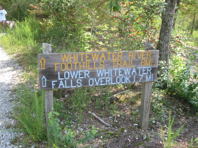
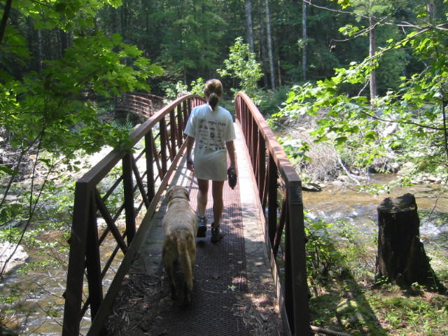
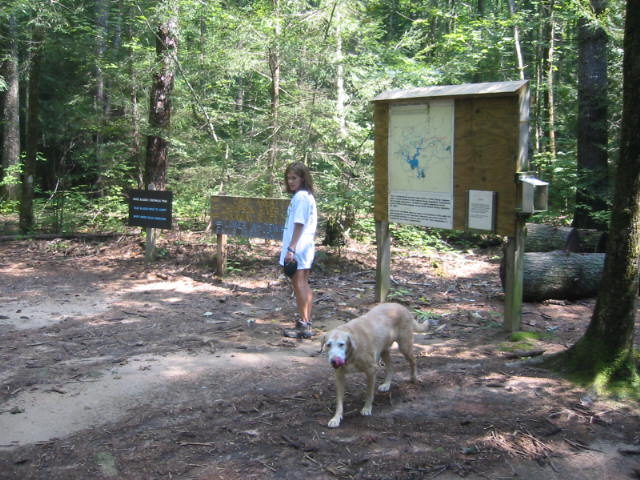
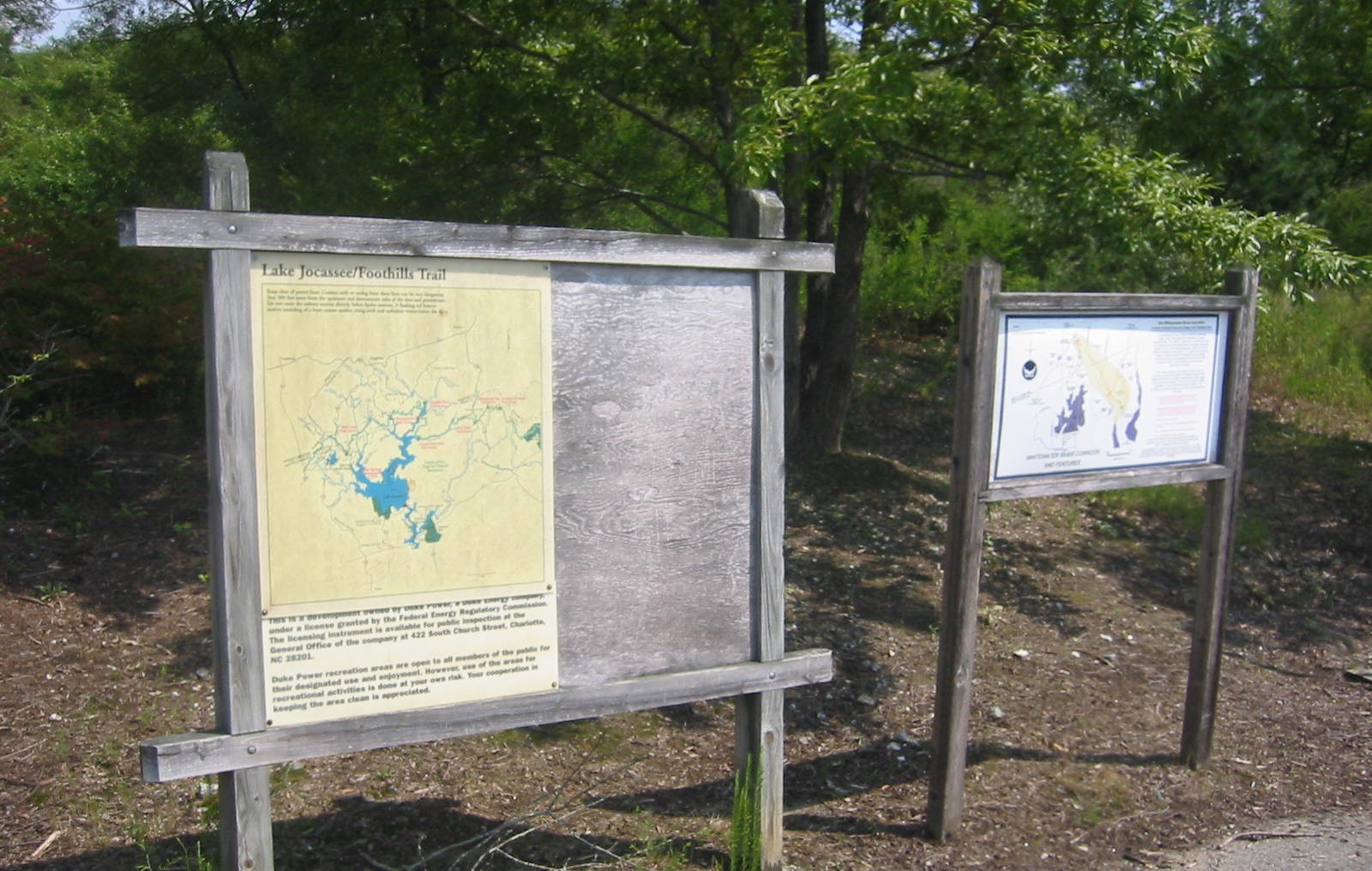
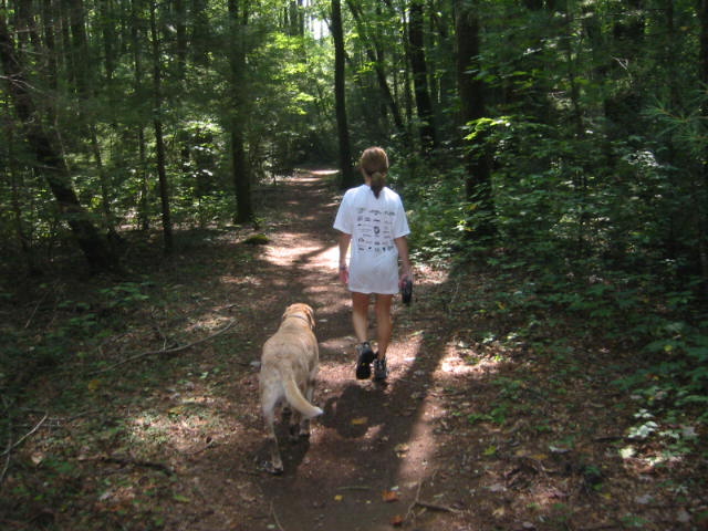
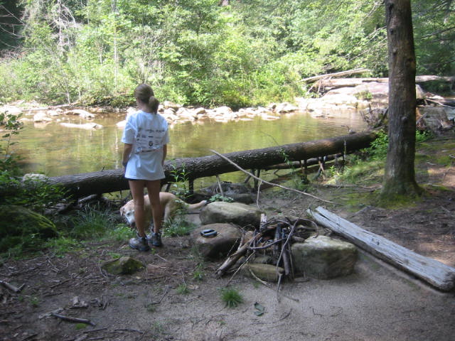
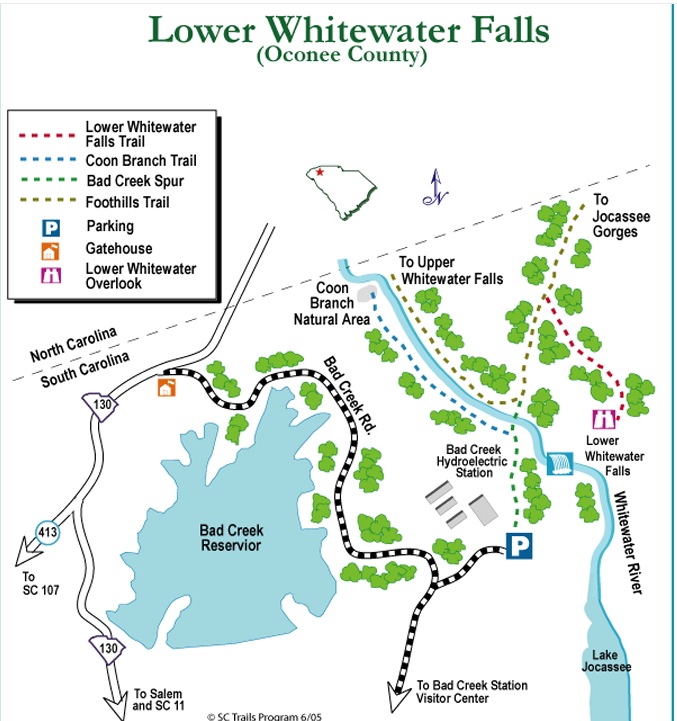
The trail begins from the back end of the parking area where there is a kiosk and a trail map. This hike from the Bad Creek Parking Area is a easy to moderate walk through a short meadow and into a hardwood forest leading to a junction with the 70+ mile Foothills Trail at the Whitewater River. Cross two footbridges over the Whitewater River to access the Foothills Trail. From this point, you can explore upstream or downstream along the Foothills Trail to reach Upper and Lower Whitewater Falls. Upper Whitewater Falls at 411 feet and located in North Carolina is one of the tallest waterfalls in the eastern U.S. Lower Whitewater Falls at ~200 feet and located in South Carolina is accessible from the Foothills Trail downstream of the Bad Creek junction.
- click for a trip report from this hike on the Bad Creek Access Trail: September 9, 2009 (password required)
- click for a trail map of the Bad Creek Access area
- click for a topo and profile map from the Bad Creek Access to Lower Whitewater Falls (password required)
- click to purchase the official Foothills Trail map from the Foothills Trail Conference
- click for a trail map of the entire Foothills Trail in North and South Carolina (password required)
- click for a topographical & profile map of the entire Foothills Trail (password required)
- click to purchase a guidebook for the Foothill Trail in North & South Carolina
- click for a nearby hike in this area on the Foothills Trail in February 2025
- click for South Carolina hiking and backpacking books
- click for more hikes in the State of South Carolina