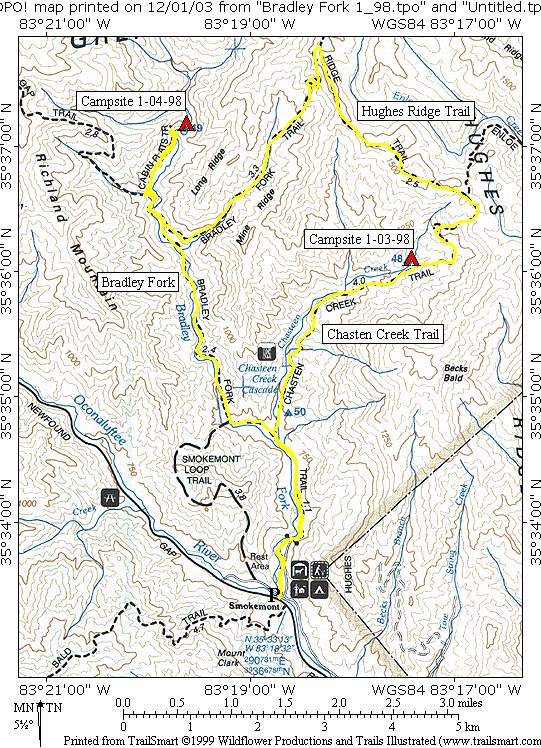
Bradley Fork
Great Smoky Mountains National Park
107 Park Headquarters Road
Gatlinburg, TN 37738
(865) 436-1200
The Great Smoky Mountains National Park stretches across 800 square miles, with nearly 95 percent of its land covered in forest. These ancient mountains, which are among the oldest on Earth, are built from rocks more than 200 million years old with their jagged peaks worn down into the soft, rounded ridges that are present today. These ridgelines are traversed by the Appalachian Trail which climbs to its highest point at Clingmans Dome (6,643 feet) and straddles the border of North Carolina and Tennessee in the park. From the ridges you will often see a distinctive blue haze that lingers over the valleys. It is a natural mist that is created when plants release water vapor and organic compounds into the air which gives the area its trademark “Smoky” Mountains name. Unfortunately, the majority of the people that visit the park never visit the backcountry and see some of the best wilderness in the Southeastern U.S.
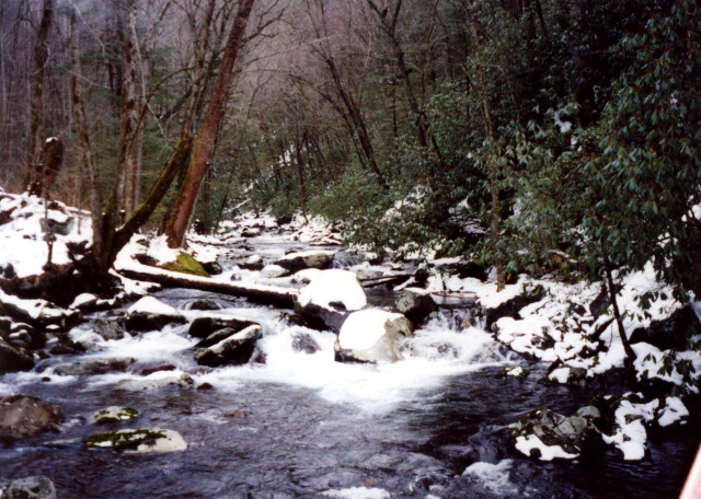
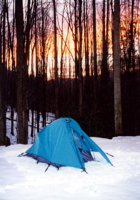
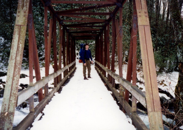
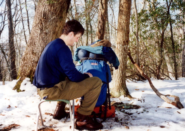
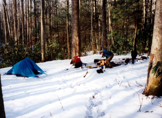
Bradley Fork is a major tributary of the Oconaluftee River which flows through the Smokemont section of the park. The area is known for rhododendron tunnels, deep forest cover, and a wide, beautiful stream. The Bradley Fork Trail follows the stream for miles, offering one of the easier long hikes in the Smokies. Before the Smokies became a national park, the Bradley Fork area was home to small farms, homesteads, and a logging railroad owned by the Champion Fibre Company. This loop hike on the Bradley Fork Trail is on the western side of an area known as Hughes Ridge near Smokemont Campground. It starts around 2500 feet, climbs the ridge to roughly 5000 feet, and descends back to the campground following both the Chasteen Creek and Bradley Fork drainages.
- click for more photos from this hike in Great Smoky Mountain National Park: January 3, 1998
- click for a detailed trip report from this backpacking trip to Bradley Fork: January 3, 1998 (password required)
- click for a Daytimer report from this hike along Chasteen Creek: January 3, 1998 (password required)
- click to purchase a Trails Illustrated map of Great Smoky Mountains National Park
- click for a road and facilities map of Great Smoky Mountains National Park
- click for a trail map of Great Smoky Mountain National Park
- click for a topographical and profile map of this hike along the Bradley Fork (password required)
- click for another route that our group did in this area in February 2008 and January 2014
- click for a map of some other trails hiked in this area in the Great Smoky Mountains National Park
- click for a list of all our Klondike hikes that date back to the late 90’s (password required)
- click for the guidebook Trail By Trail: Backpacking In The Smoky Mountains which has more details on this area
- click for other North Carolina hiking and backpacking books