Hogback Mountain
Nantahala National Forest
Highlands Ranger District
2010 Flat Mountain Rd,
Highlands, N.C. 28741
(828) 526-3765
The Nantahala National Forest is the largest of North Carolina’s four national forests, covering over 530,000 acres in the westernmost part of the state. Named after the Cherokee word “Nantahala,” meaning “Land of the Noon Day Sun,” this forest is known for its deep gorges and valleys, where sunlight may only penetrate at midday. Panthertown Valley is located within the Highlands Ranger District of the Nantahala National Forest in western North Carolina. This district is known for its rich biodiversity, dramatic landscapes, and a variety of recreational opportunities, with Panthertown Valley being one of its most prominent features.
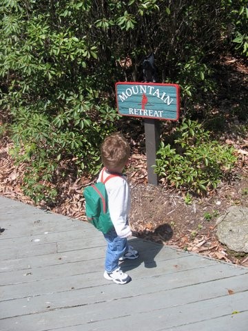
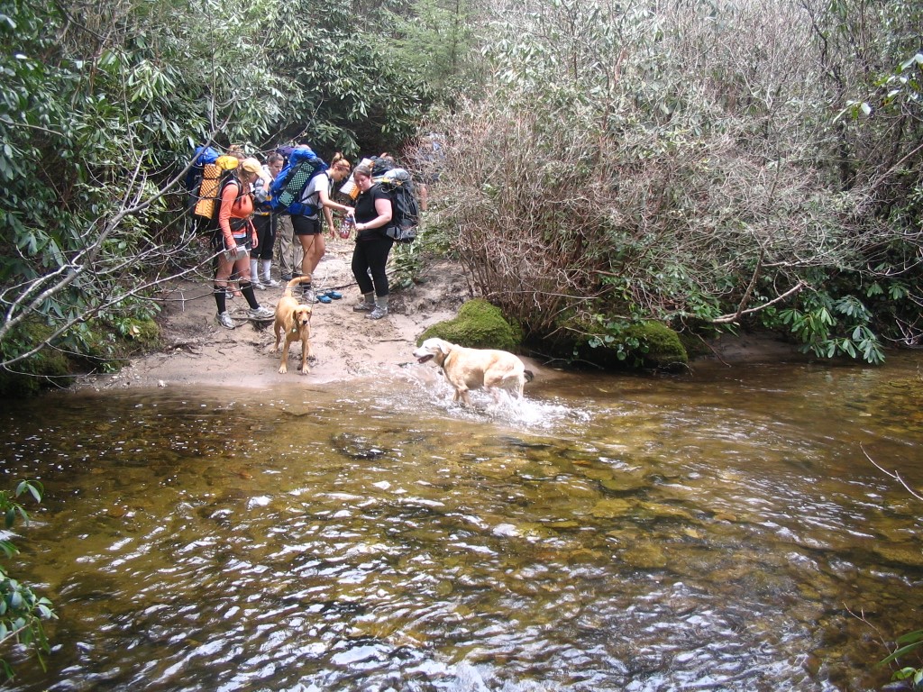
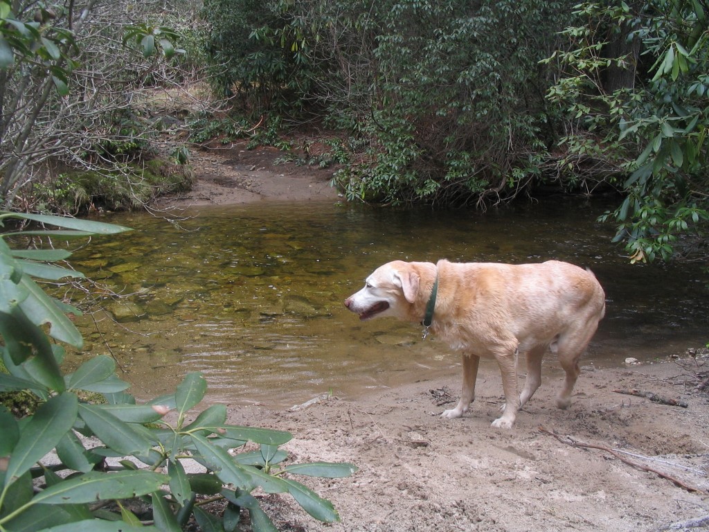
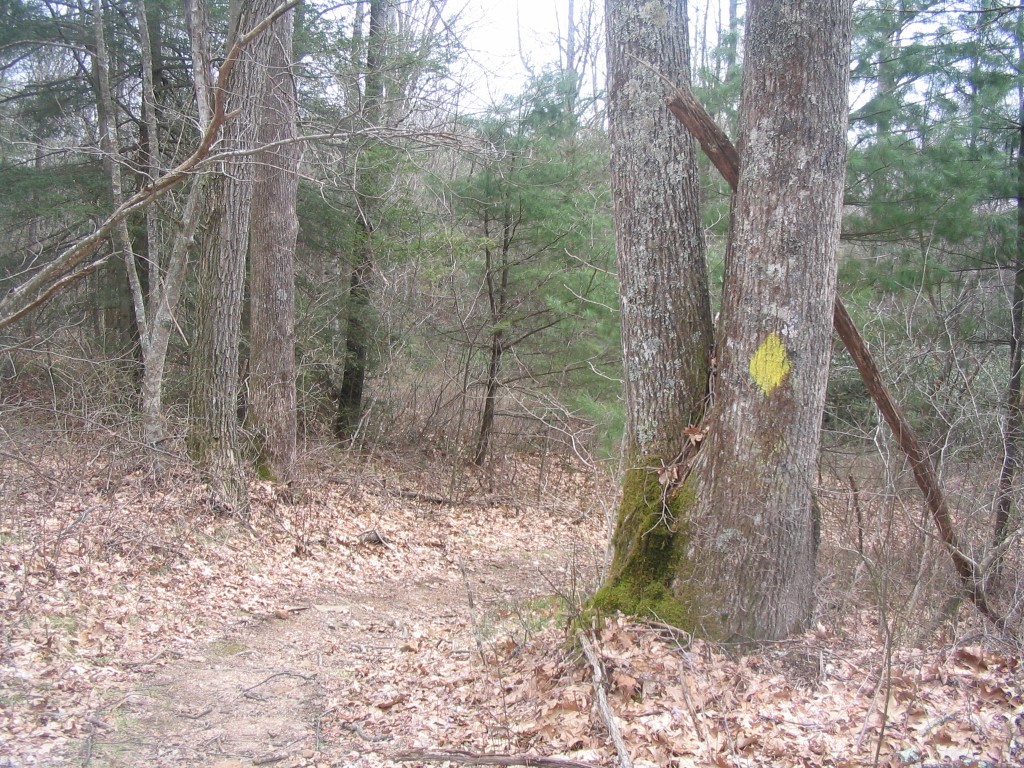
Panthertown Valley has 6,295 acres of protected public land in the Nantahala National Forest. The Valley lies on the eastern continental divide in North Carolina’s Blue Ridge Mountains and is occasionally referred to as “the Yosemite of the East” for the its deep gorges, broad valleys, mountain bogs and granitic rock domes, tranquil creeks and plunging waterfalls. The National Forest Service acquired Panthertown Valley in 1989 from Duke Power in a deal coordinated by the Nature Conservancy. Surprisingly, the area is still relatively wild with no blazes on the trails and only a few primitive campsites. However there are an amazing number of waterfalls that are packed into a relatively small area and they many have pools at their base which make for a great place to swim or fish. This backtrack hike starts at Cold Mountain Gap, descends in the first mile to Greenland Creek then after a stream ford climbs to a major trail intersection for Little Green, Big Green, and Hogback Mountains. To reach Hogback Mountain, make a sharp turn to the left and head south up to the summit. This is the southernmost point in Panthertown Valley and it sits right on the Tennessee Valley Divide. From here, backtrack to your vehicle at the trailhead.
- click for photos from this trip to Hogback Mountain in Panthertown Valley: April 13, 2008 (password required)
- click for a trip report from this hike in the Nantahala National Forest: April 13, 2008 (password required)
- click to purchase the Nantahala and Cullasaja Gorges Trails Illustrated map which includes Panthertown
- click for a topographical and profile map of this loop hike over Hogback Mountain (password required)
- click to see a map of the entire Panthertown Valley trail system (password required)
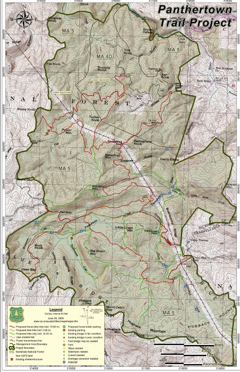
- click to see the Panthertown USFS project map
- click for a loop hike over Big Green and Hogback Mountain in November 2003 and April 2008
- click for a backpacking trip to Greenland Creek Falls in November 2022
- click to see more trips to the Tuckasegee River in Panthertown Valley
- click to access the guidebook North Carolina Hiking Trails which has details on this destination
- click for other North Carolina hiking and backpacking books