Fish Lake
Clearwater National Forest
12730 Highway 12,
Orofino, ID 83544
(208) 476-4541
Part of Idaho’s Big Wild, the Clearwater National Forest covers 1.8 million acres from the jagged peaks of the Bitterroot Mountains in the east to the river canyons and the rolling hills of the Palouse Prairie in the west. The North Fork of the Clearwater and the Lochsa rivers provide miles of tumbling white water interspersed with quiet pools for migratory and resident fish. The mountains provide habitat for elk, moose, whitetail and mule deer, black bear, gray wolf, cougar, mountain goats, and many smaller mammals. The ridges between the deep canyons have provided travel corridors across the mountains for centuries. These routes were used by the Nez Perce Indians and, in 1805-1806, the Lewis and Clark Expedition.
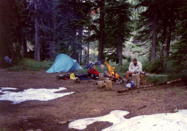
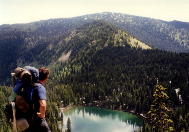
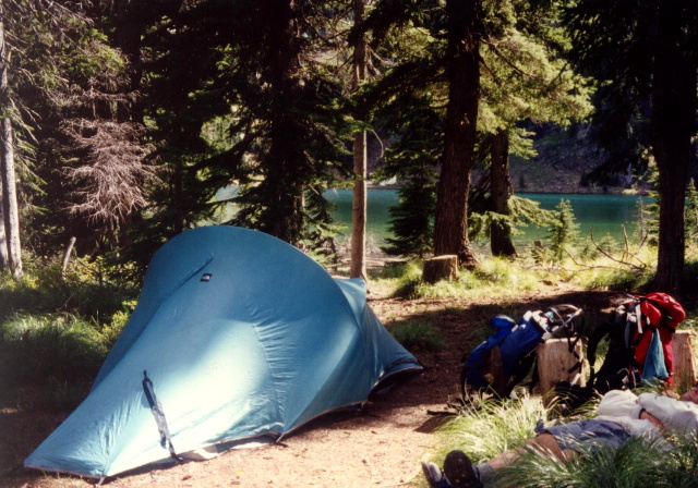
Today the main travel route is U.S. Highway 12 following the dramatic canyon of the Middle Fork of the Clearwater River and its tributary the Lochsa River. Fish Lake is accessible by ATV and is quite popular in the area. The Fish Lake trail makes a gradual climb up to the lake and you can follow either a hiking trail or an old logging road for access. If you have the energy you might even consider hiking past Fish Lake and over the ridge to a small, quiet, and very peaceful lake about a mile away (which we think was Siamese Lake) and we decided to camp for the night). Both are worthwhile trips, although Fish Lake is significantly bigger and has much better trout fishing.
- click for a video of our cross-country road trip during the summer of 1998
- click for a podcast Episode 14 about our cross-country road trip in the summer of 1998
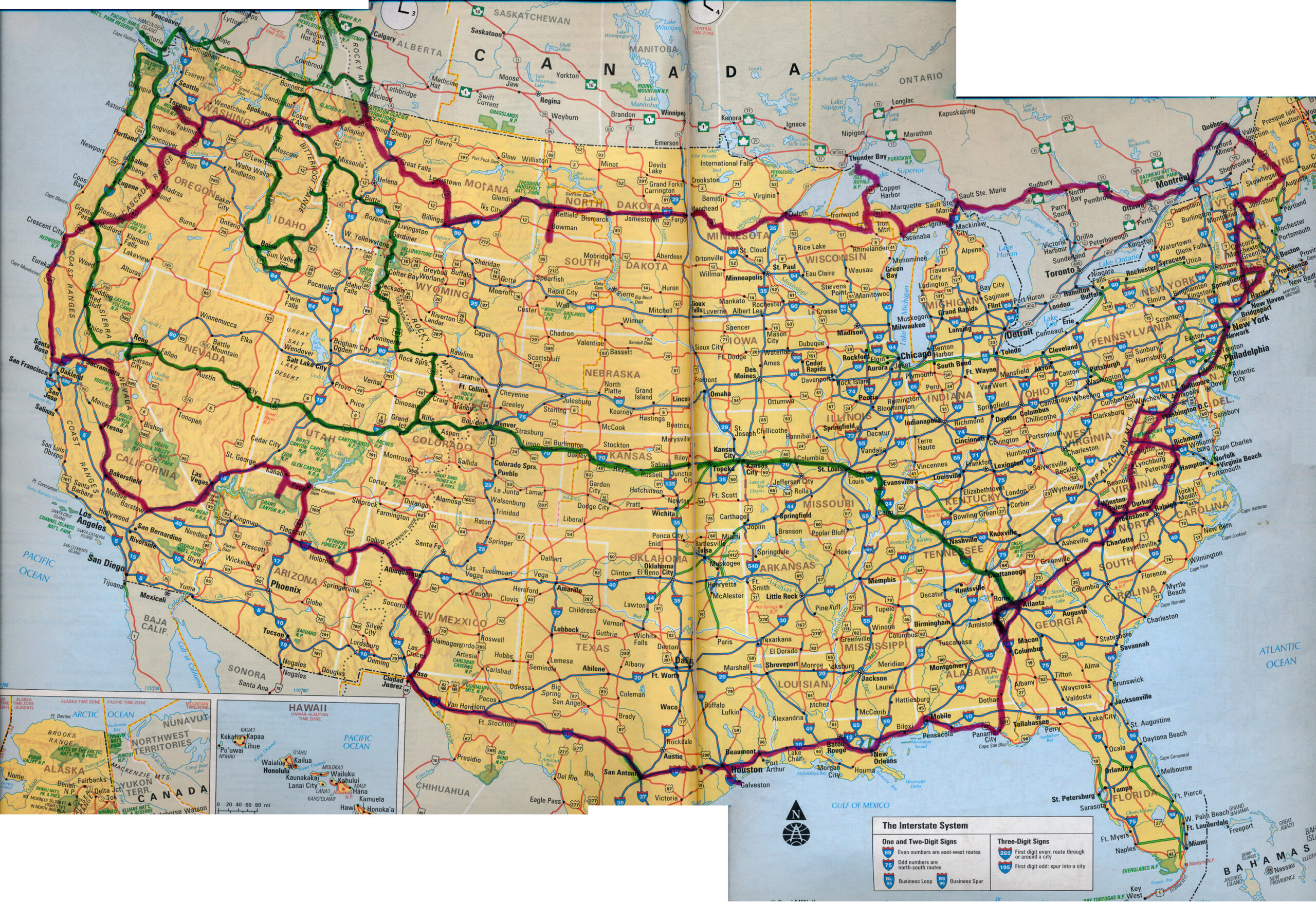
- click for a map of our cross-country routes in the summer of 1996 (red line) and 1998 (green line)
- click for more photos from this backpacking trip to Fish Lake: June 28, 1998
- click for a Backpacker Log for this hike in the Clearwater National Forest: June 28, 1998
- click for a Daytimer report from this backpacking trip on the Fish Lake Trail (password required)
- click for a topo map of this hike in the Bitterroot Mountains
- click for a trail map of this hike in near Orofino, Idaho
- click for a topo and profile map of this backpacking trips to Fish Lake (password required)
- click for hikes to Rim Lake, Bradley Lake, Hellroaring Canyon, Fish Lake, and Bench Lake in June 1998
- click for the guidebook Hiking Idaho with more hikes in this area
- click for more hikes in the State of Idaho