Pigpen Falls
Sumter National Forest
Andrew Pickens Ranger District
112 Andrew Pickens Circle
Mountain Rest, South Carolina 29664
(864) 638-9568
The Chattooga River begins high in the Southern Appalachian Mountains of western North Carolina, where countless small springs, seeps, and rain-fed tributaries gather on the forested slopes to form its headwaters. From these humble beginnings, the river quickly gains strength as it descends through steep, heavily wooded terrain, dropping nearly half a mile in elevation over its approximately 50-mile journey to Lake Tugaloo. Along the way, it carves a deep and often remote corridor through the Blue Ridge foothills, shaping steep-walled gorges, tumbling cascades, and long stretches of swift-moving water. Unlike many rivers in the southeastern United States that have been dammed or heavily altered, the Chattooga remains one of the few truly free-flowing rivers in the region, preserving a rare sense of wilderness and natural hydrology. Its designation as a National Wild and Scenic River reflects both its ecological importance and its outstanding recreational value, protecting it from major development and maintaining its character as a largely untouched mountain river system. Dense hardwood forests line much of its banks, with rhododendron thickets, hemlock stands, and moss-covered boulders contributing to the river’s wild and secluded atmosphere. The Chattooga River Trail, a roughly 40-mile corridor, parallels much of the river as it flows along and near the borders of North Carolina, South Carolina, and Georgia. This trail system connects a series of access points from Burrell’s Ford to U.S. Highway 76, offering hikers, backpackers, anglers, and paddlers a rare opportunity to experience a long, continuous stretch of protected river wilderness. Since its designation by Congress on May 10, 1974, the Chattooga has become one of the premier destinations in the Southeast for whitewater kayaking, fly fishing, and backcountry hiking, attracting those seeking both adventure and solitude in a protected natural setting.
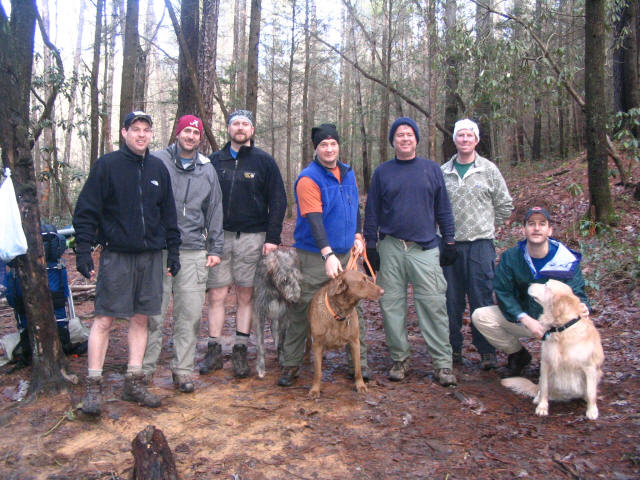
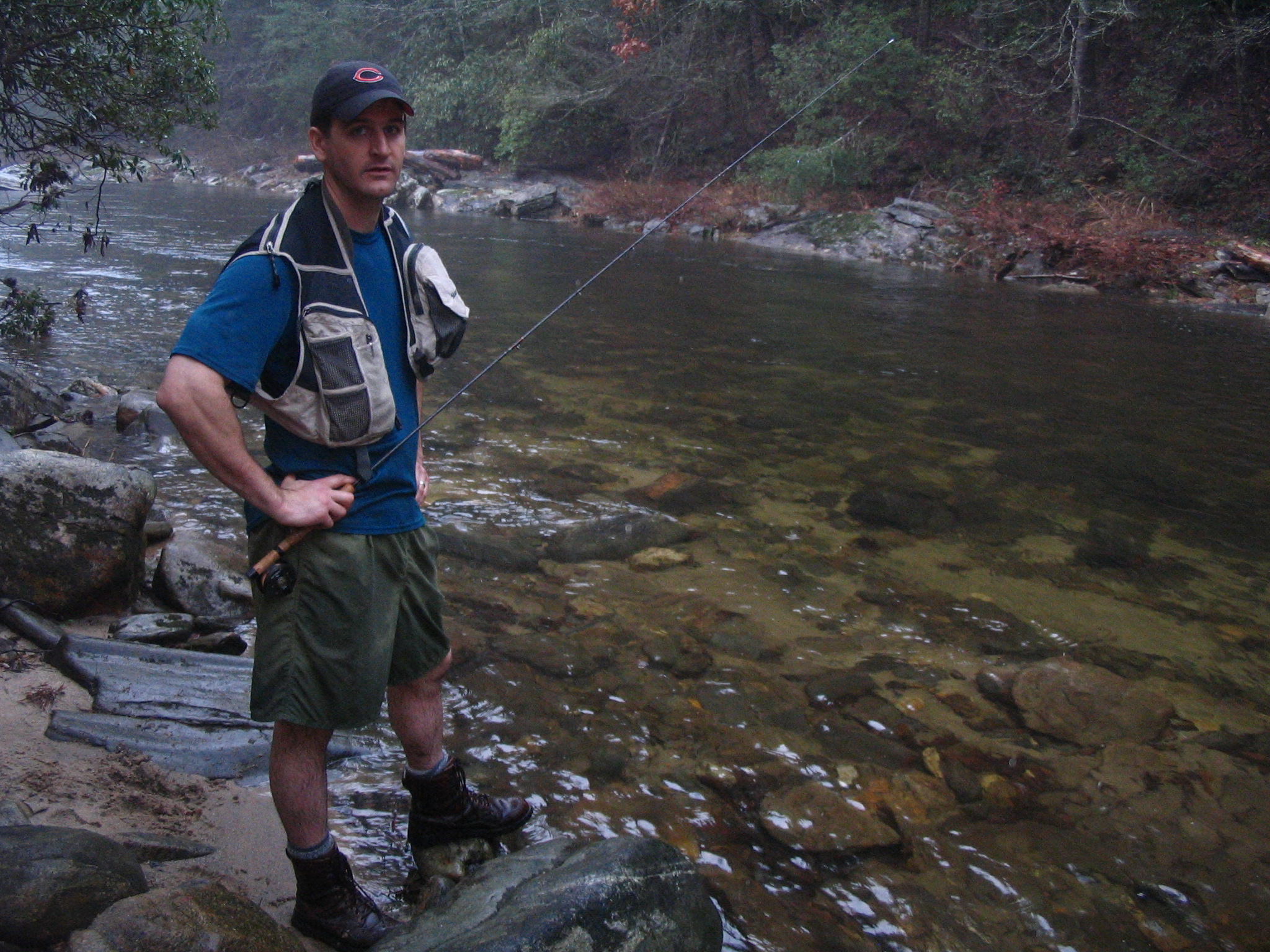
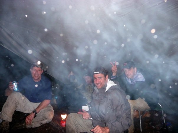
This hike begins at a parking area off Nicholson Ford Road and follows an old, unmarked road that is still used informally by anglers and hikers to access the river corridor. Though not clearly shown on modern maps, this historic route climbs gradually up a forested ridge, passing through a quiet landscape of mixed hardwoods and scattered pine before intersecting with the Foothills Trail. From this junction, the route descends toward Pigpen Falls, a scenic cascade located at a major convergence point where the Chattooga River Trail, the Bartram Trail, and the Foothills Trail all meet. This intersection serves as a well-known backcountry landmark for long-distance hikers and serves as a natural gathering point deep within the river corridor. Nearby, a small waterfall and clear, shallow pool create a peaceful setting that is especially attractive for camping and resting after a long day on the trail. We camped near this busy yet scenic junction, where the sound of falling water provided a constant backdrop throughout the evening. Just downstream, the Chattooga River flows approximately 0.3 miles away, where deeper pools and riffles create excellent habitat for rainbow trout and other native fish species. The combination of converging trails, accessible water, and productive fishing makes this section of the Chattooga corridor one of the most rewarding and strategically located backcountry camps in the region, blending natural beauty with the quiet energy of a historic wilderness crossroads.
- click for more photos from this hike along the Chattooga River: December 20, 2008
- click for a trip report from this hike to Thrift Lake Falls: December 20, 2008 (password required)
- click for a detailed trip report from this overnight backpacking trip: December 20, 2008 (password required)
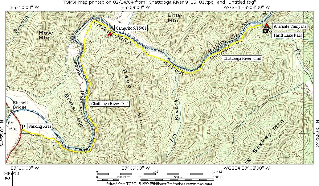
- click for a topographical map of this section of the Chattooga River at Russell Bridge
- click for a detailed topo and profile map of this hike from Nicholson Ford Road to Russell Bridge (password required)
- click for a map of campsites along this section of the Chattooga River Trail (password required)
- click for a trail map of the Chattooga River from Russell Bridge to Burrell’s Ford (password required)
- click for nearby backpacking trips to Lick Log Creek #3
- click for more information on the Bartram Trail
- click for more information on the Chattooga River Trail
- click for Bartram Trail hiking and backpacking books
- click for Chattooga River Trail hiking and backpacking books
- click for The Chattooga National Wild And Scenic River which has hiking details on this destination
- click for the guidebook Best Hikes With Dogs Georgia And South Carolina which has details on this area
- click for other Georgia hiking and backpacking books
- click for other hikes on the Chattooga River Trail in Georgia






Camping is no longer permitted at Pigpen Falls off Nicholson Ford Road.