Mott Lake
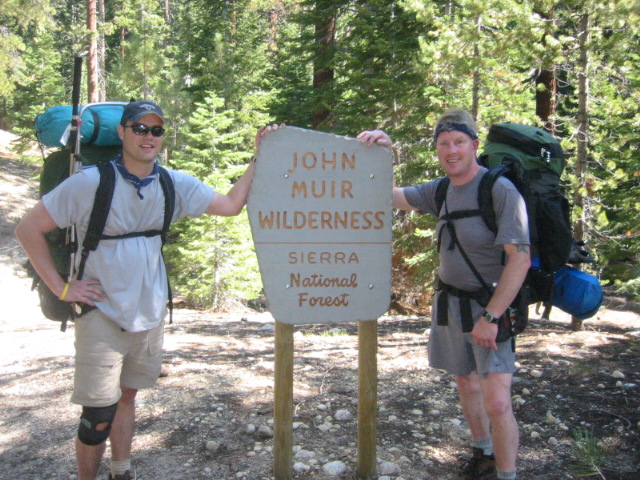
Sierra National Forest
High Sierra Ranger District
29688 Auberry Road
Prather, CA 93651
559-855-5355

Sierra National Forest is located East of Fresno and stretches along the western slope of the Sierra Nevada between Yosemite National Park to the north and Kings Canyon National Park to the south. The forest also borders the Inyo National Forest and the John Muir Wilderness to the east and the Sierra foothills and private lands to the west. The forest was first established in February 11, 1893 as part of the Sierra Forest Reserve, but it is now managed by the U.S. Forest Service. It is a sprawling 1.3 million acres of rugged terrain in the central Sierra Nevada in California which is known for towering granite peaks, high alpine lakes, deep river canyons, and diverse ecosystems ranging from oak woodlands to subalpine wilderness.
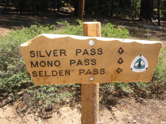
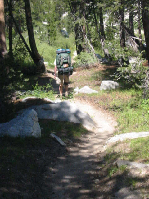
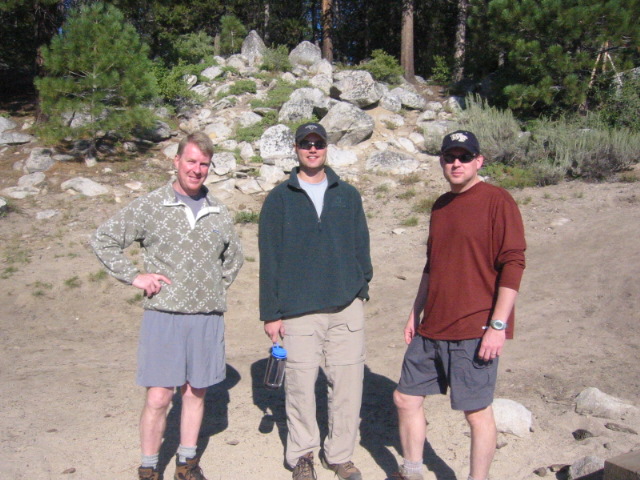
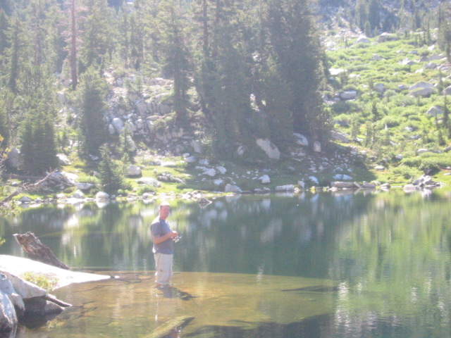
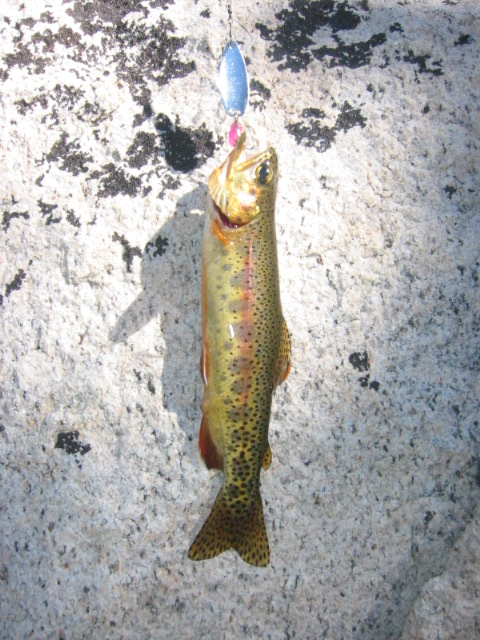
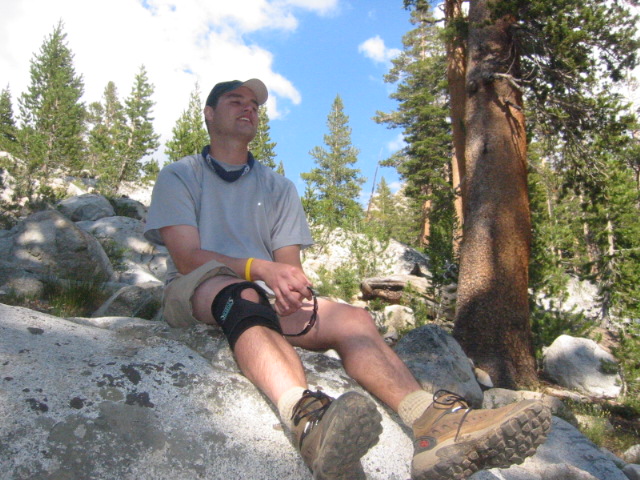
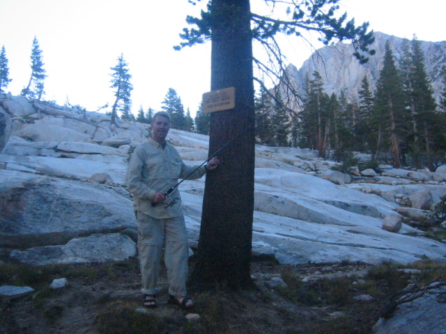
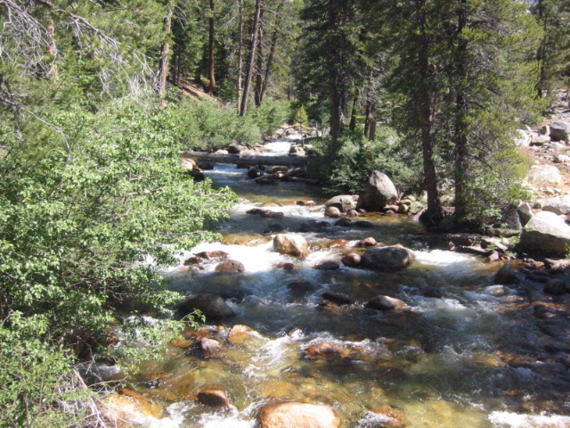
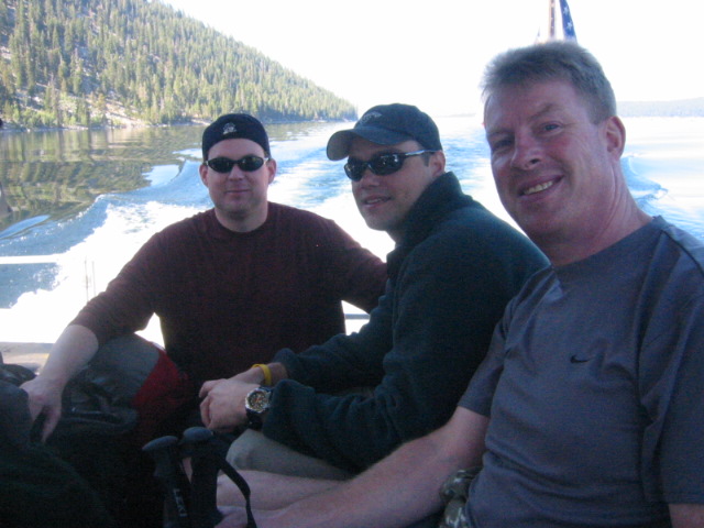
Mott Lake is located in the Sierra National Forest and the route to Mott Lake begins after a junction with the Pacific Crest Trail (PCT)/John Muir Trail (JMT), located roughly three miles north of the Mono Creek bridge and 3.5 miles south of Silver Pass. The lake is often reached via a challenging ascent beginning at Lake Thomas A. Edison which has a ferry operated by the Vermilion Valley Resort. The trail begins with a steep climb that gradually eases. Along the way, you’ll traverse granite slabs, cross Mono Creek, ascend through wildflower-filled terrain, navigate stony shelves marked by cairns, and finally arrive at the shimmering alpine lake. Mott Lake sits at roughly 10,000 feet and boasts clear waters, stunning backdrops, and superb solitude. From the western shores, hikers will see granite cliffs, nearby peaks like Red and White Mountain, Mount Crocker, and Mount Izaak Walton. There’s also a waterfall on the lake’s eastern side and opportunities for trout fishing. Permits are required and fires are not permitted above 10,000 feet in this area.
- click for a photo journal from this hike to Mott Lake by the Camel: August 18, 2005
- click for a trip report from this hike on the Pacific Crest Trail: August 18, 2005 (password required)
- click for a trail map from this hike in the Eldorado National Forest
- click for a topo and profile map from this hike to Mott Lake (password required)
- click for an article about a nearby hike in Yosemite National Park: August 31, 2002
- click for more information on the Pacific Crest Trail
- click for the guidebook The Pacific Crest Trail: Northern California
- click for the guidebook 100 Classic Hikes in Northern California for more hikes in this area
- click for more California hiking and backpacking books
- click for more hikes in the State of California