Camelback Mountain
City of Phoenix
City Park Service
Phoenix City Hall, 200 W. Washington St.,
Phoenix, AZ 85003
(602) 262-6862
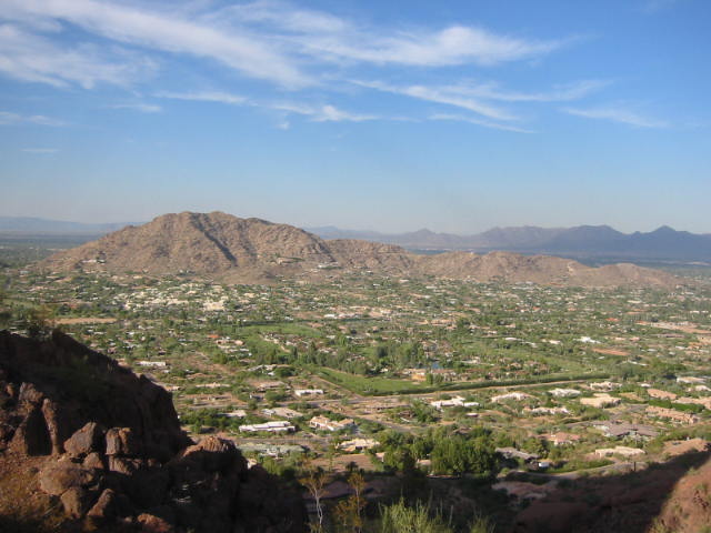
Camelback Mountain is a popular hiking destination located in Phoenix, Arizona. Named for its distinct shape resembling a camel’s hump, it features two main trails: the Echo Canyon Trail and the Cholla Trail. Both trails offer stunning views of the surrounding desert landscape, but they can be quite challenging due to steep sections and rocky terrain. The mountain is located on the northern edge of the City of Phoenix and there are outstanding views from the 2,704 foot summit in all directions.
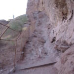
Many of the locals use one the four trails up the mountain as their personal Stairmaster, and it is not uncommon to see numerous people hiking in the late afternoon just before sunset when the park closes. This hike follows the Echo Canyon Summit Trail 1,264 feet up the mountain, and the route is a tough workout which requires the use of metal railings to ascend some steep sections of the trail. Don’t underestimate the effort required to reach the top of Camelback Mountain, and make sure you take plenty of water with you on your hike. The views from the summit are outstanding though, and make this a destination that is well worth the effort.
- click to see photos from this hike to Camelback Mountain: October 5, 2004
- click for a detailed trip report of this trip near Phoenix: October 5, 2004 (password required)
- click for a trip report from this hike to Camelback (password required)
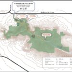
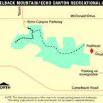
- click for a trail map of this hike on the Echo Canyon Trail
- click for a topographical and profile map of this hike to Camelback Mountain (password required)
- click to access the guidebook Best Easy Day Hikes: Phoenix which has details on this destination
- click for other Arizona hiking and backpacking books
- click for more hiking and backpacking trips in the State of Arizona
