Yellow Mountain
Nantahala National Forest
Wayah Ranger District
Franklin, NC 28734
828-524-6441
The Nantahala National Forest is the largest of the four national forests in North Carolina and is renowned for its rugged mountains, dense forests, and abundant rainfall. Often considered the second wettest region in the United States behind only the Pacific Northwest, parts of the forest receive heavy annual precipitation that feeds countless creeks, waterfalls, and rivers throughout the southern Appalachians. The name “Nantahala” comes from a Cherokee word meaning “Land of the Noonday Sun,” referring to the deep river gorges where sunlight sometimes reaches the valley floor only during midday. Spanning more than 531,000 acres across western North Carolina, the forest contains an extraordinary range of terrain and ecosystems, with elevations stretching from 5,800 feet at Lone Bald in Jackson County down to approximately 1,200 feet along the Hiwassee River in Cherokee County. The forest is home to remote wilderness areas, scenic mountain balds, whitewater rivers, and hundreds of miles of hiking trails, including portions of the Appalachian Trail and Bartram Trail. Rich biodiversity, old-growth forests, and dramatic mountain scenery make Nantahala one of the premier outdoor recreation destinations in the Southeast.
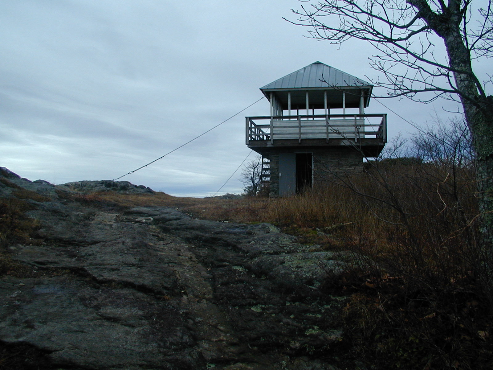
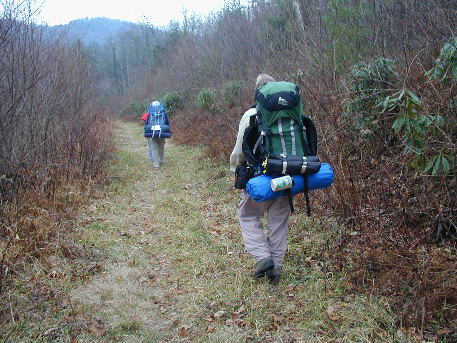
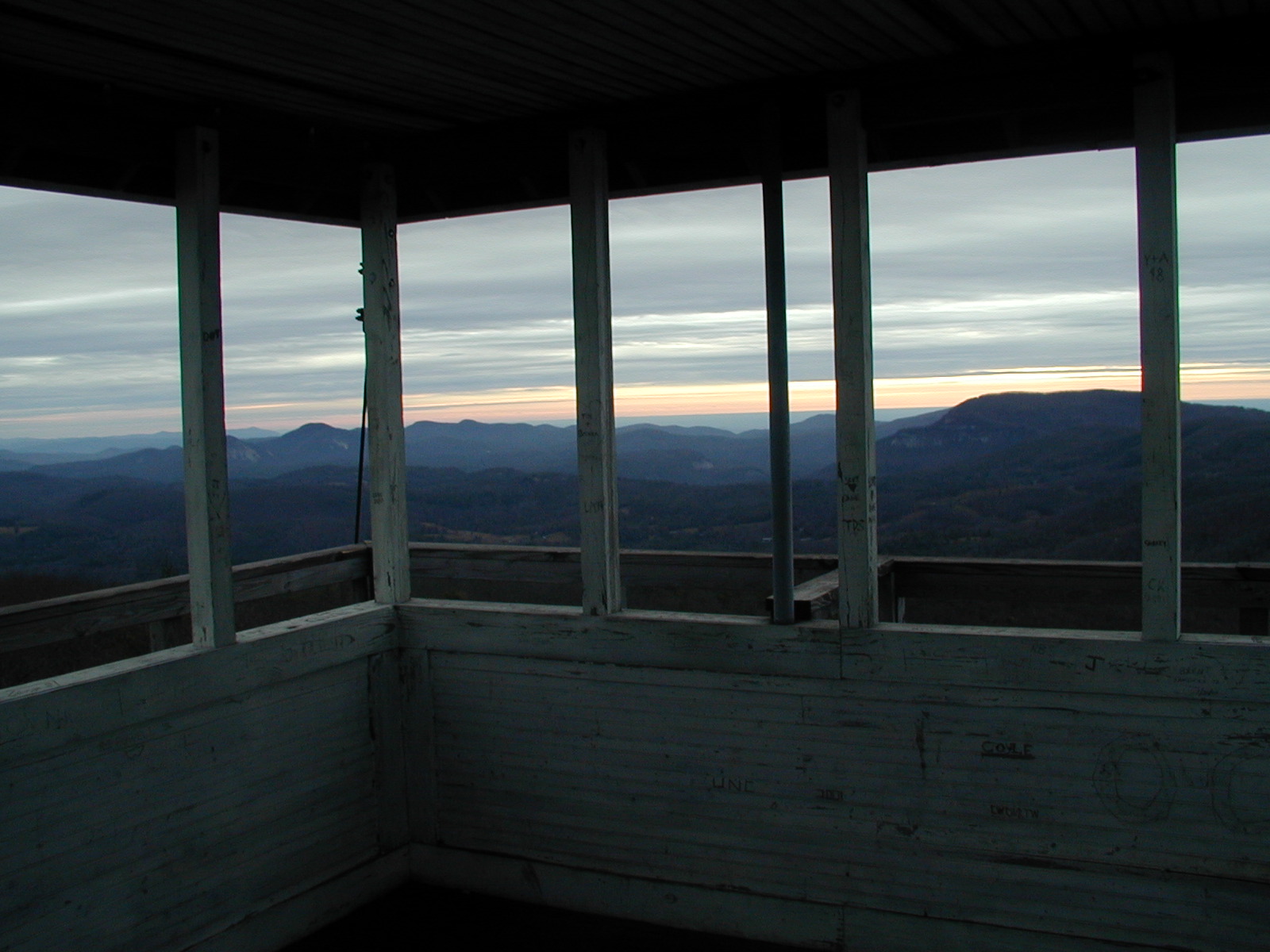
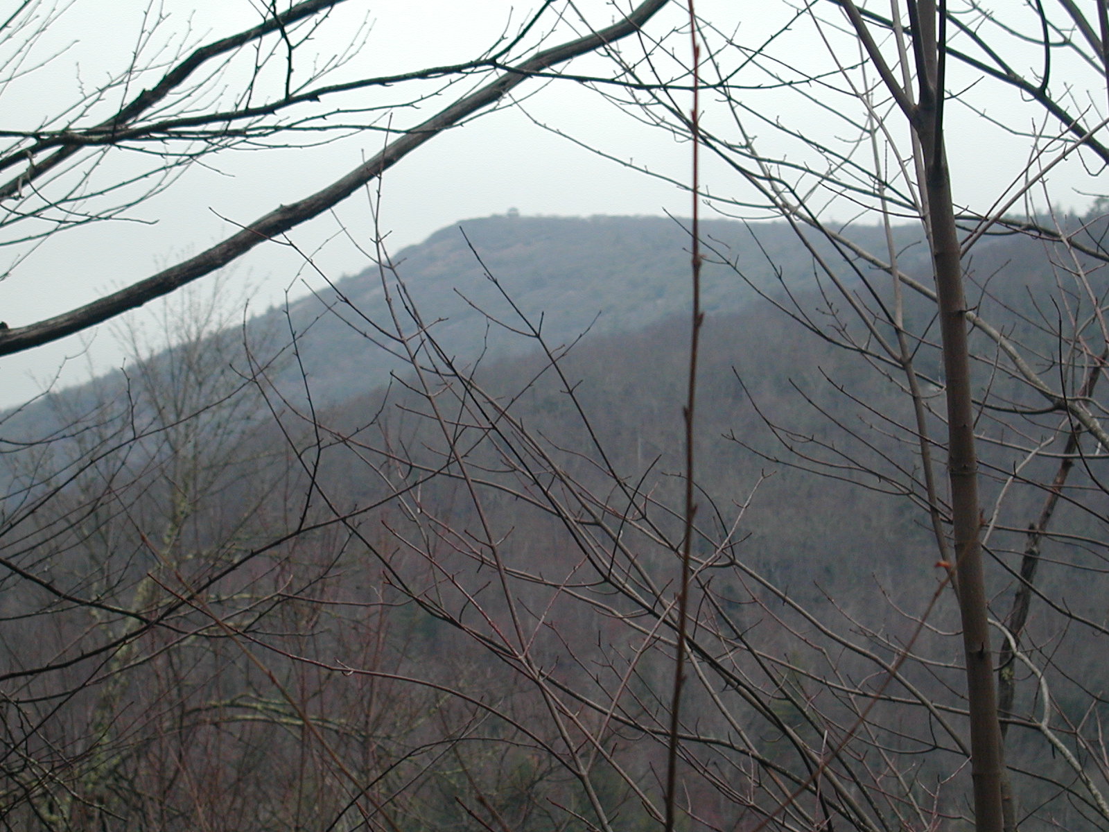
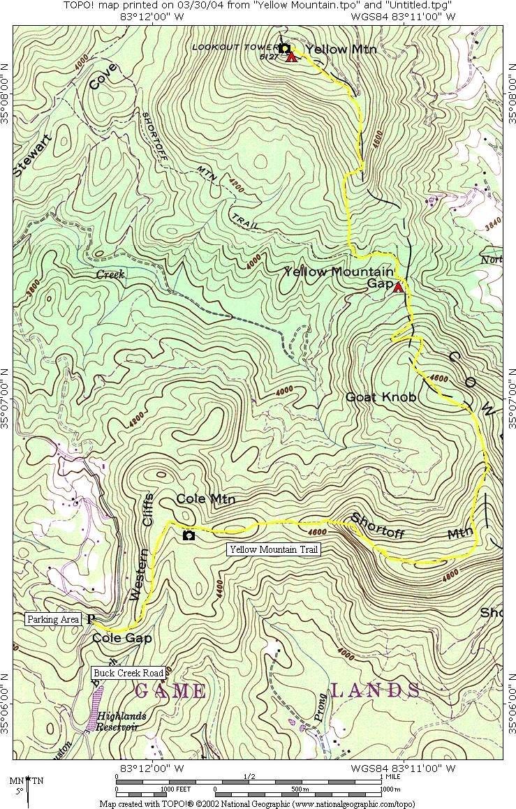
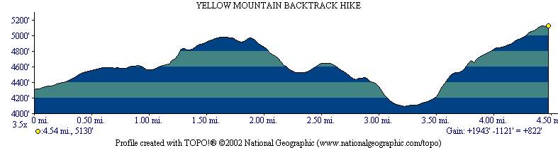
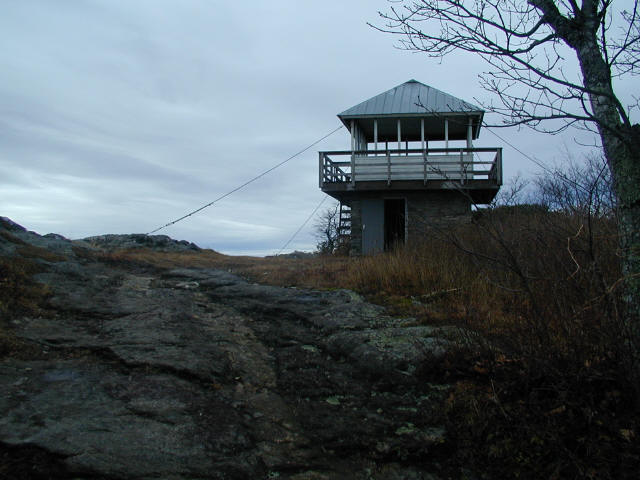
Yellow Mountain rises to 5,127 feet and offers some of the finest panoramic views in western North Carolina. The summit is best known for its historic fire tower, originally built to help detect wildfires across the surrounding mountains and valleys. Although the tower was eventually decommissioned, it was carefully reconstructed in 1990 and later recognized as a National Historic Lookout in 1992, preserving an important piece of Appalachian forestry history. The hike to Yellow Mountain is considered challenging due to its steep climbs and repeated elevation changes over Goat Knob, Yellow Mountain, and Cole Mountain before finally reaching the tower. The trail traverses rugged ridgelines and mixed hardwood forests, with several strenuous ascents that can make the route surprisingly demanding despite its moderate distance. Along the way, hikers are rewarded with numerous long-range vistas, especially during late fall and winter when the leaves are down. A short side trail to nearby Cole Mountain provides additional sweeping views across the Nantahala Mountains and into Georgia and Tennessee on clear days. Because of the difficult terrain, outstanding scenery, and opportunities for both sunrise and sunset views, the hike is popular as either a strenuous day hike or a memorable overnight backpacking trip.
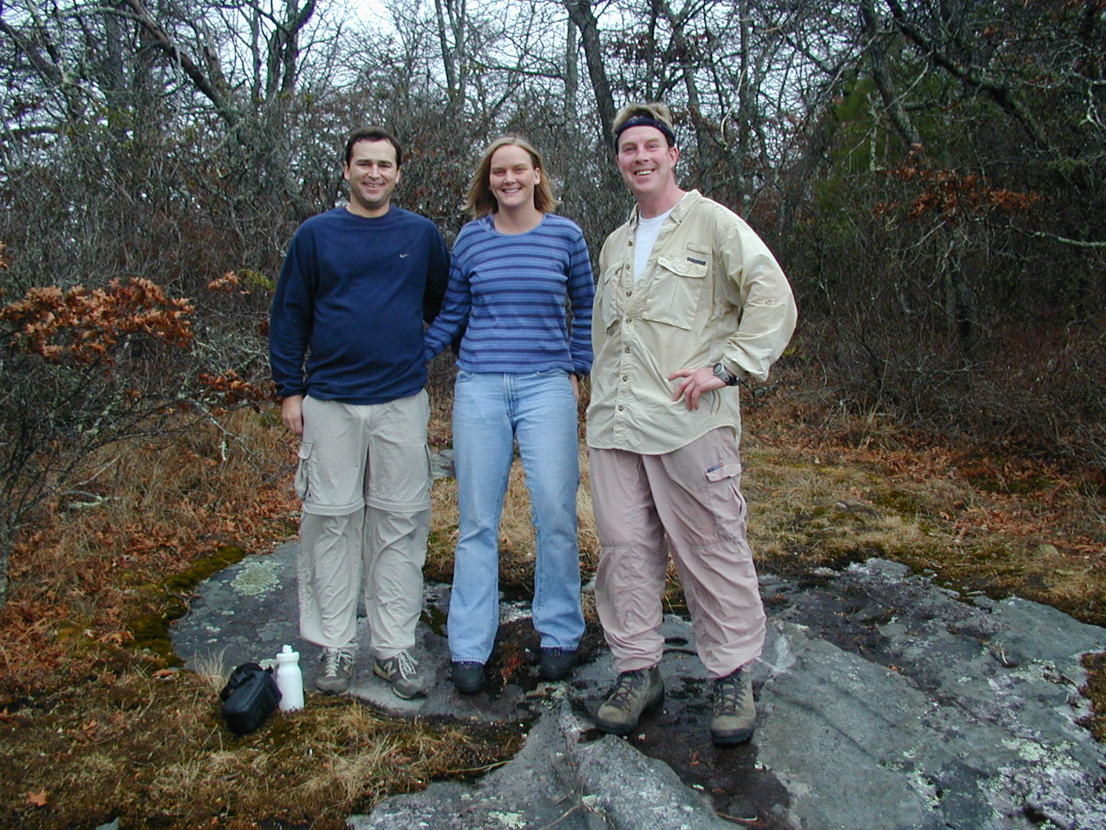
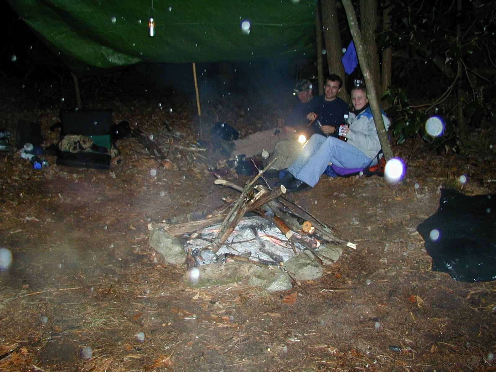
- click for photos from this hike to a historic firetower at Yellow Mountain: December 8, 2001
- click for a detailed trip report from this backpacking trip to Yellow Mountain Gap: December 8, 2001 (password required)
- click for a trip report of this hike on the Yellow Mountain Trail (password required)
- click for the Nantahala and Cullasaja Gorges Trails Illustrated map
- click for a topo and profile map from this hike on the Yellow Mountain Trail (password required)
- click for a topographical and profile map of this hike to Yellow Mountain
- click for a hike to the nearby Panthertown Creek starting at the Salt Rock Gap trailhead
- click for the guidebook North Carolina Hiking Trails which has details on this destination
- click for other North Carolina hiking and backpacking books