Sundown Bowl
White River National Forest
900 Grand Ave.
P.O. Box 948
Glenwood Springs CO 81602
970-945-2521

White River National Forest covers more than 2.3 million acres in the central Colorado Rockies and is widely considered one of the premier outdoor recreation destinations in the United States. Located roughly two to four hours west of Denver along the Interstate 70 corridor, the forest stretches across rugged mountain terrain filled with alpine peaks, deep river valleys, high mountain passes, and evergreen forests. It consistently ranks among the most heavily visited national forests in the country because of its incredible variety of year-round recreation opportunities. The forest contains eleven world-famous ski resorts, including areas near Vail, Aspen, and Breckenridge, along with eight designated wilderness areas that protect some of Colorado’s most spectacular backcountry landscapes. Visitors can explore hundreds of miles of hiking and backpacking trails, scenic mountain lakes, rushing rivers, and high alpine meadows filled with wildflowers during the summer months. In addition to hiking and camping, the forest is popular for fishing, horseback riding, mountain biking, whitewater rafting, boating, hunting, and snowmobiling, while winter transforms the region into one of North America’s top skiing and snowboarding destinations. With elevations ranging from valley floors to peaks exceeding 14,000 feet, White River National Forest offers dramatic scenery and outdoor opportunities for nearly every skill level and season.
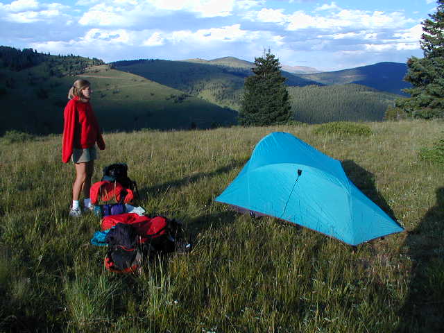
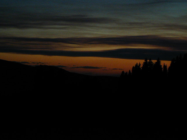
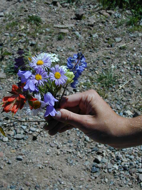
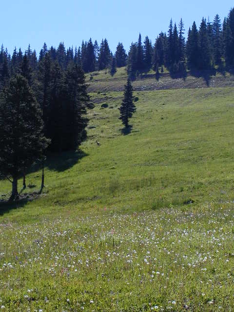
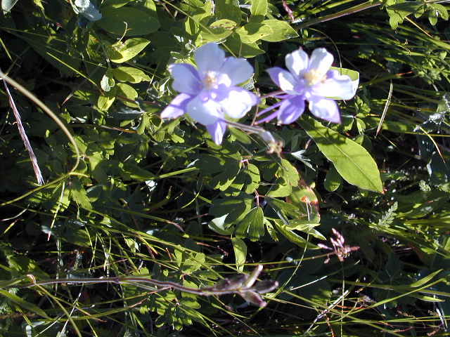
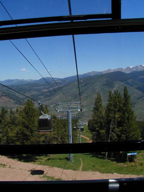
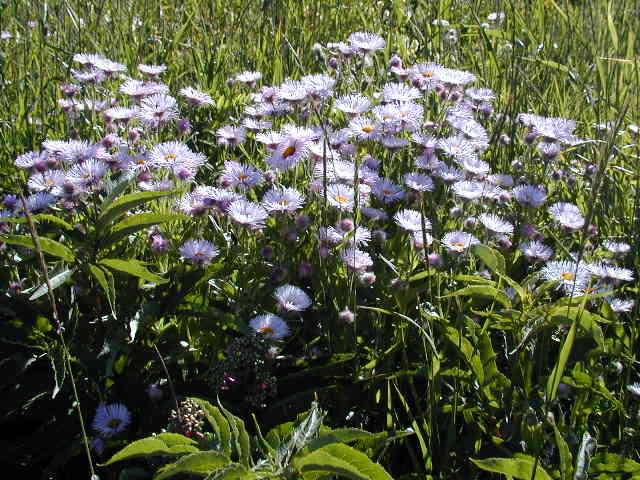
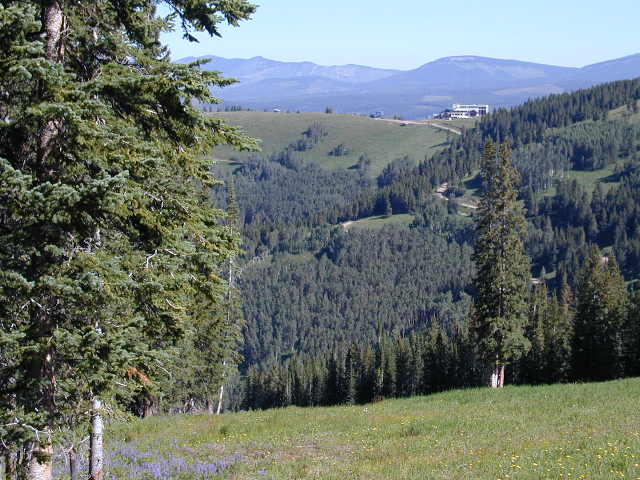
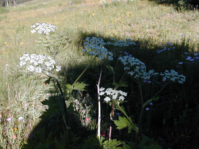
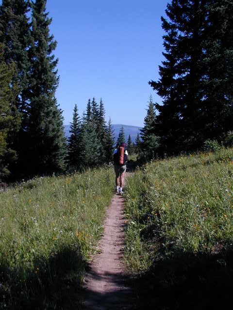
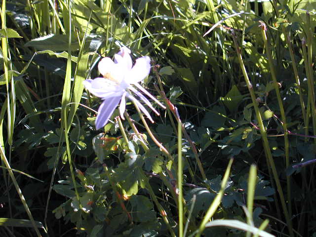
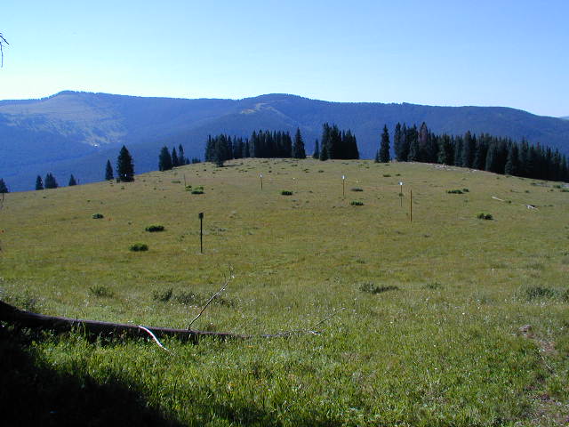
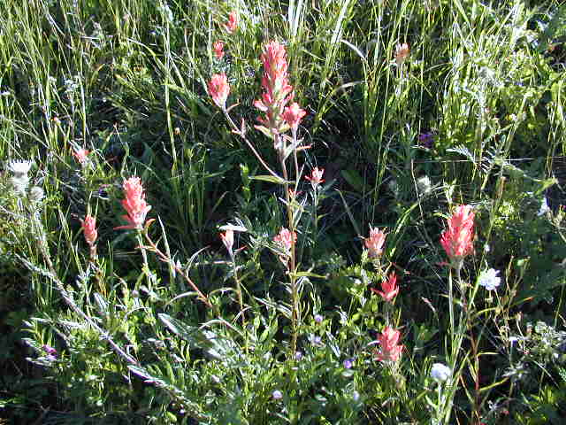
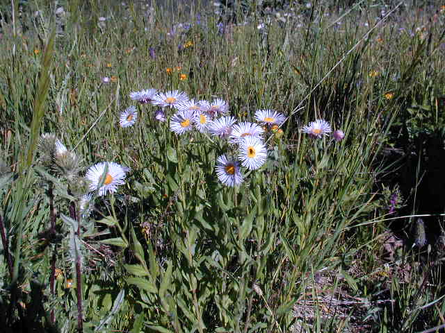
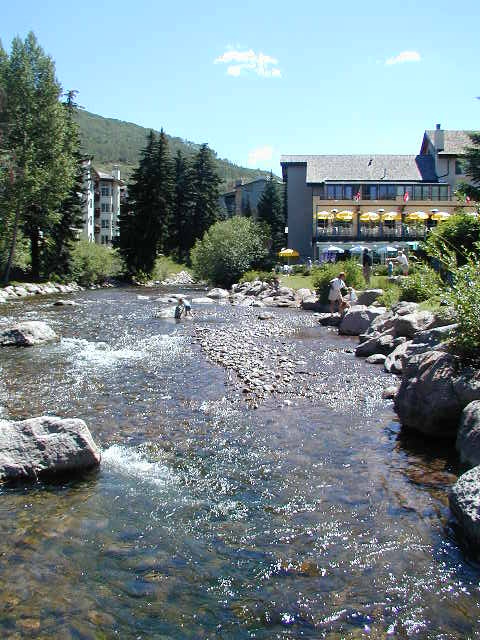
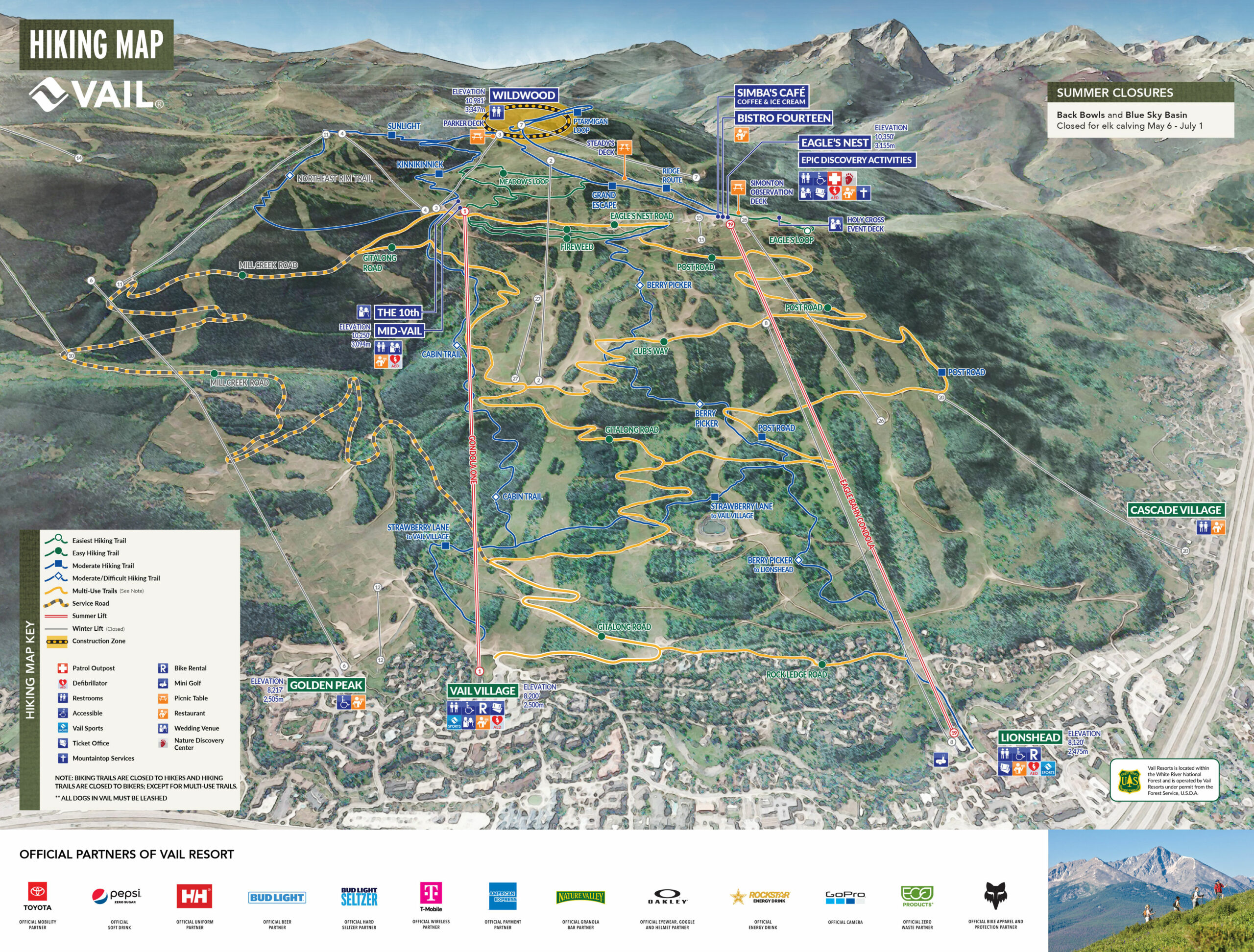
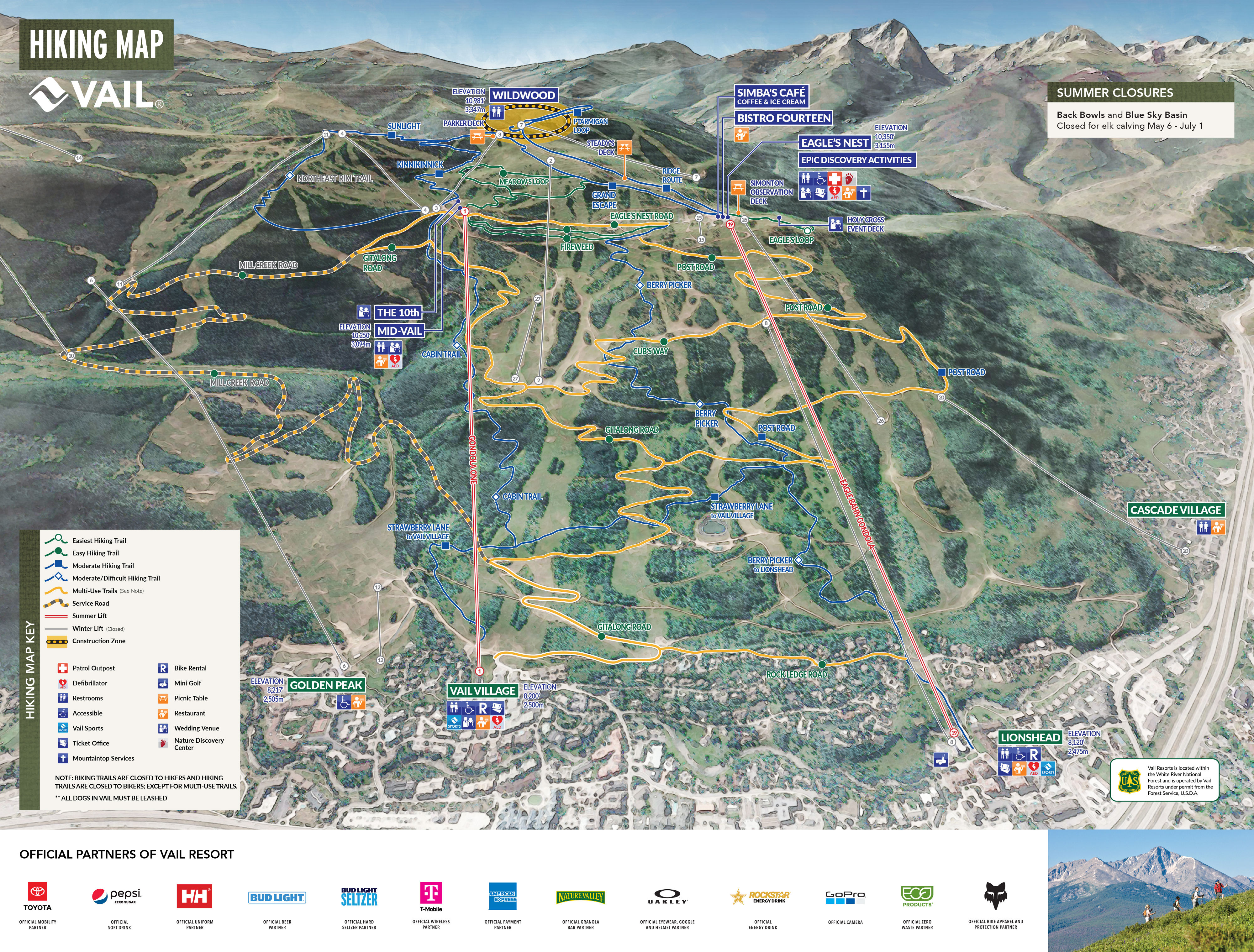
For our overnight backpacking trip, we chose an area near Vail to experience a small section of the vast White River National Forest while also taking advantage of the ski resort’s summer operations. During the warmer months, Vail operates several gondolas for sightseeing, hiking, and mountain biking, making it much easier to reach higher elevations without an exhausting climb from the valley floor. We rode the Eagle Bahn Gondola from Lionshead Village up into the mountains, where cool alpine air and panoramic views immediately replaced the bustle of town below. From there, we followed the Grand Traverse Trail into the Vail backcountry, hiking through evergreen forests, open ski slopes, and wildflower-filled meadows before reaching a quiet campsite at approximately 10,700 feet. The higher elevation provided incredible long-distance views across surrounding ridges and valleys, and the changing light during the evening created a dramatic alpine landscape. Near camp, a broad meadow along an exposed ridgeline offered especially stunning sunset views as the last light illuminated the peaks surrounding Vail. As darkness settled over the mountains, the distant lights of the ski resort contrasted sharply with the quiet solitude of the backcountry, making the overnight trip feel both remote and easily accessible at the same time.
- click for more trail photos from this backpacking trip in Vail: July 21, 2000
- click for a detailed trip report of this hike in the White River National Forest: July 21, 2000 (password required)
- click for a hiking trail map of Vail Mountain (2013 version)
- click for a hiking trail map of Vail Mountain (2023 version)
- click for a topo and profile map of the Grand Traverse Trail (password required)
- click for a winter map of our campsite overlooking the Sundown Bowl (password required)
- click for a summer map of our campsite near the Grand Traverse Trail (password required)
- click for another day hike in Vail using the Lionshead Gondola in 2023
- click for Hiking Colorado: A Guide To The State’s Greatest Hiking Adventures (State Hiking Guides Series)
- click for more hikes in the State of Colorado