Appalachian Trail #2 (Rock Gap to Wallace Gap)
Appalachian Trail Conservancy
799 West Washington Street
Harpers Ferry, WV 25425
(304) 535-6331

The Nantahala National Forest is the largest of the four national forests in North Carolina and is widely known for its rugged mountains, deep river gorges, and exceptionally high rainfall. The forest is considered the second wettest region in the United States behind only the Pacific Northwest, with some areas receiving well over 90 inches of rain annually. The name “Nantahala” comes from a Cherokee word meaning “Land of the Noonday Sun,” a reference to the steep and narrow mountain gorges where sunlight only reaches the valley floors during the middle of the day. Encompassing more than 531,000 acres across western North Carolina, the forest stretches across a wide range of elevations, from 5,800 feet at Lone Bald in Jackson County down to approximately 1,200 feet along the Hiwassee River in Cherokee County. This dramatic elevation change creates an incredibly diverse landscape that includes high mountain balds, dense hardwood forests, rushing rivers, waterfalls, and remote wilderness areas. The forest is also home to numerous popular outdoor destinations including the Nantahala Gorge, Standing Indian Basin, Joyce Kilmer Memorial Forest, and long stretches of the Appalachian and Bartram Trails, making it one of the premier recreation areas in the southern Appalachians.
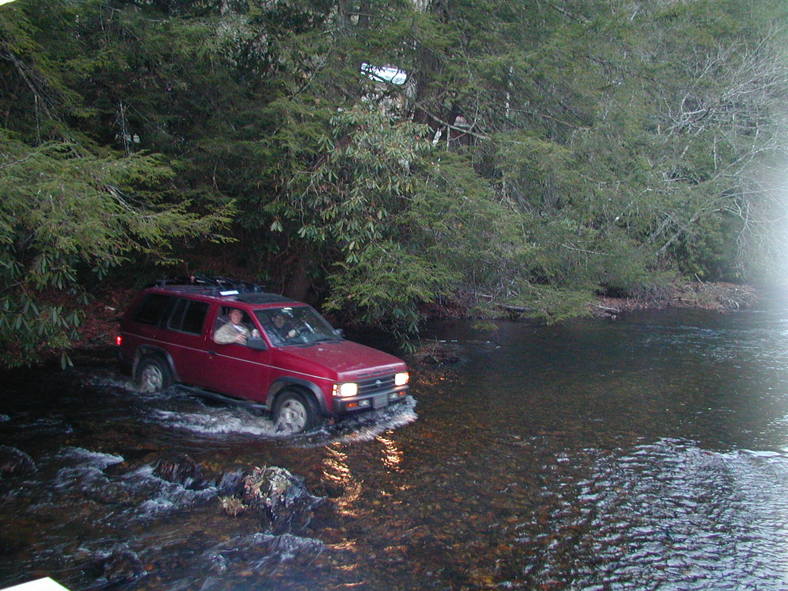
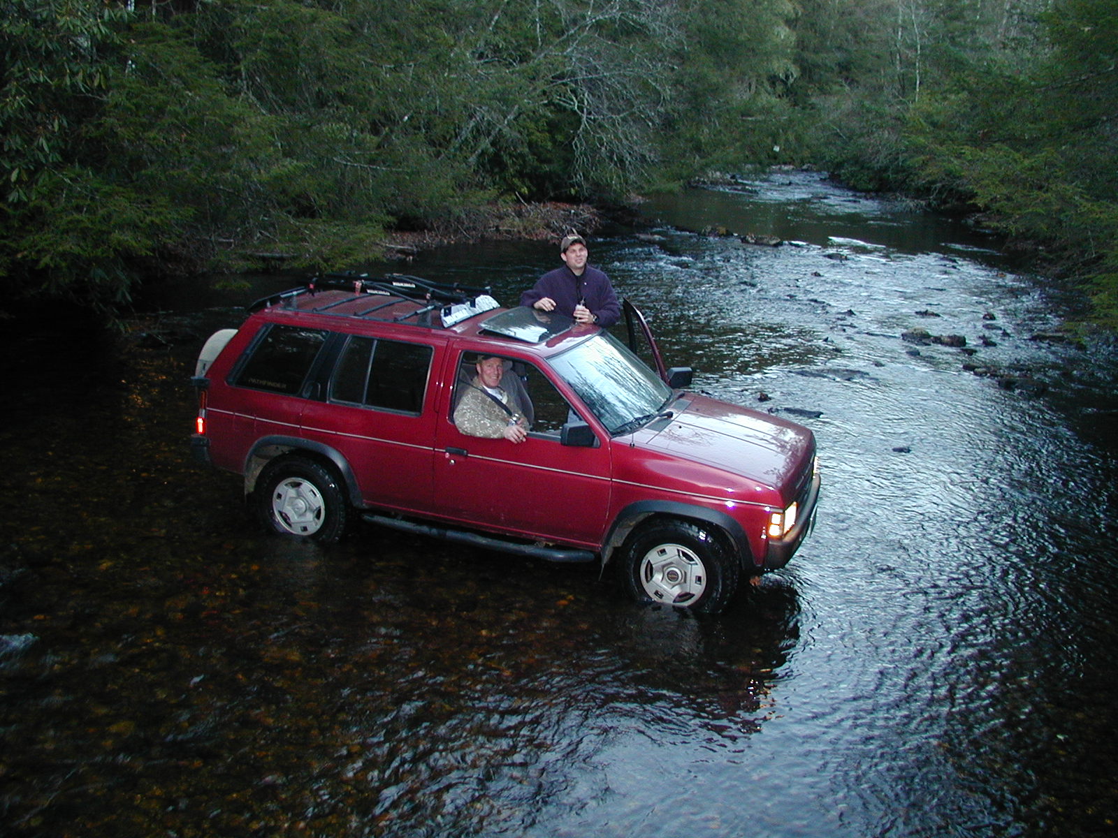
This section of the Appalachian Trail in North Carolina holds personal significance because it was one of the few miles missed during my 1994 thru-hike. After a long 18-mile day, I mistakenly believed I had reached Wallace Gap when I actually arrived at Rock Gap and accepted a hitch into Franklin near Rainbow Springs Campground, unintentionally bypassing this stretch of trail. Like many thru-hikers pushing through exhaustion and old maps or trail confusion, it became one of those small gaps that lingered in memory long after the hike ended. In November 2001, ALE and I returned to the area specifically to complete the missed section and officially “close the gap.” The hike itself is relatively easy compared to many rugged sections of the Appalachian Trail in western North Carolina, featuring gentle grades, quiet hardwood forests, and occasional seasonal mountain views. Because of its shorter distance and moderate terrain, this stretch is often best combined with nearby trail sections for a longer day hike or shuttle hike. Even though the terrain is not especially dramatic, revisiting the trail years later to complete those missed miles made the walk far more meaningful and memorable.
- click for more photos from this day hike to Wallace Gap: November 11, 2001 (password required)
- click for a detailed trip report for this hike on the Appalachian Trail: November 11, 2001 (password required)
- click for a trip report from this weekend near the Appalachian Trail: November 11, 2001 (password required)
- click for the Nantahala and Cullasaja Gorges Trails Illustrated map for this area
- click for a trail map of the Appalachian Trail in Georgia, North Carolina, and Tennessee (password required)
- click for an ATC profile map from the Timber Ridge Trail to Wallace Gap (password required)
- click for an ATC trail map from the GA/NC Border to Wallace Gap (password required)
- click for a winter backpacking trip to the shelter at Rock Gap in January 2010
- click for more information on the Appalachian Trail
- click for Appalachian Trail hiking and backpacking books
- click for the guidebook Appalachian Trail: Georgia-North Carolina which has details on this destination
- click for other North Carolina hiking and backpacking books


Rock Gap Shelter was rebuilt in 2023.