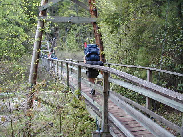
HIGHLIGHTS: The main stem of this nearly 100 mile long hiking trail extends from Table Rock State Park in Pickens County, to Oconee State Park in Oconee County. The trail crosses some of the most rugged and beautiful terrain in the Southeast and provides access to Sassafrass Mountain, the highest peak in South Carolina and to major mountain streams and breathtaking views. The section of the trail from Laurel Fork Creek to the Whitewater River is often referred to as the Gorges Section and was initially built and maintained by Duke Power Company as part of a licensing agreement for the construction of Lake Joccasee. Both State and Federal agencies have taken over management responsibilities in recent years, and this section of South Carolina has some of the best backcountry wilderness in the Southeast. Ceasars Head State Park has a spur trail to the Foothills Trail that extends the distance if you desire a longer hike.
MORE DETAILS |
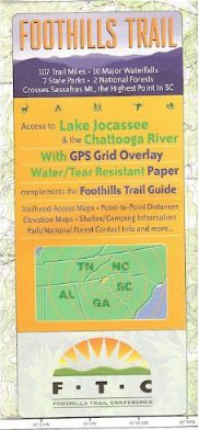
Roughly half of the Foothills map is covered with info boxes. It would have been helpful to have more map. Attempting to plan access routes and loops is very challenging. Wish someone would redo it or make a new one.
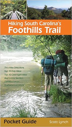
Walt – the Foothills Trail Guidebook is excellent and shows access routes and loops in detail. I highly recommend it if you plan to spend any time on the Foothills Trail. The Foothills Trail Conference sells both the map and book on their website if you can’t find them at Amazon.