Yellowstone Falls
Pisgah National Forest
The Shining Rock Wilderness is a series of high elevation ridges with spectacular views in the Pisgah National Forest. Five peaks in the area are over 6000 feet including Cold Mountain (6,030 feet) and Black Balsam Knob (6,214 feet). However, the wilderness is named for Shining Rock (5,940 feet) which is a summit of white quartz located in the middle of the forest.
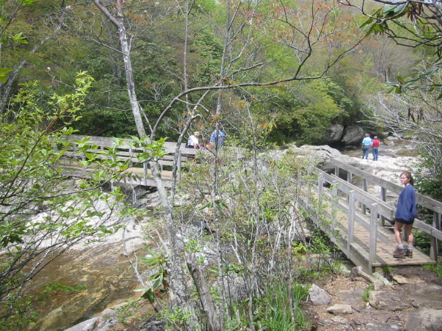
This hike to Yellowstone Falls is lower in elevation and more easily accessed than the large peaks of the wilderness. Yellowstone Falls is named after the yellow mosses, lichens, and minerals that coat the rocks around the falls. The falls are near the Graveyard Fields, an area destroyed by fire in November 1925. The blaze cleared the forest of vegetation and left only spruce tree stumps. This reminded many hikers of gravestones in a cemetery and the name stuck. The hike to the upper falls starts at the Blue Ridge Parkway mile marker 418.8 and follows a paved path down to the Yellowstone Prong of the East Fork of the Pigeon River. Here the Yellowstone Falls Trail (which is also known as the Graveyard Fields Trail) turns left and follows the river to Upper Yellowstone Falls.
- click to see trail photos from this hike to Yellowstone Falls: May 16, 2004, May 22, 2004
- click to view a detailed trip report of this hike in the Shining Rock Wilderness: August 12, 1995 (password required), May 16, 2004 (password required), May 22, 2004 (password required)
- click to view maps from the Pisgah National Forest: area map, detailed map, profile map, Shining Rock map of intersecting trails, Shining Rock photo of intersecting trails (password required)
- click for the Southeastern Destinations discussion forum
- click to access the guidebook North Carolina Hiking Trails which has details on this destination
- click for other North Carolina hiking and backpacking books
- click for other hikes in the Shining Rock Wilderness of the Pisgah National Forest
- click here to add your hike, trip report, or feedback for this destination